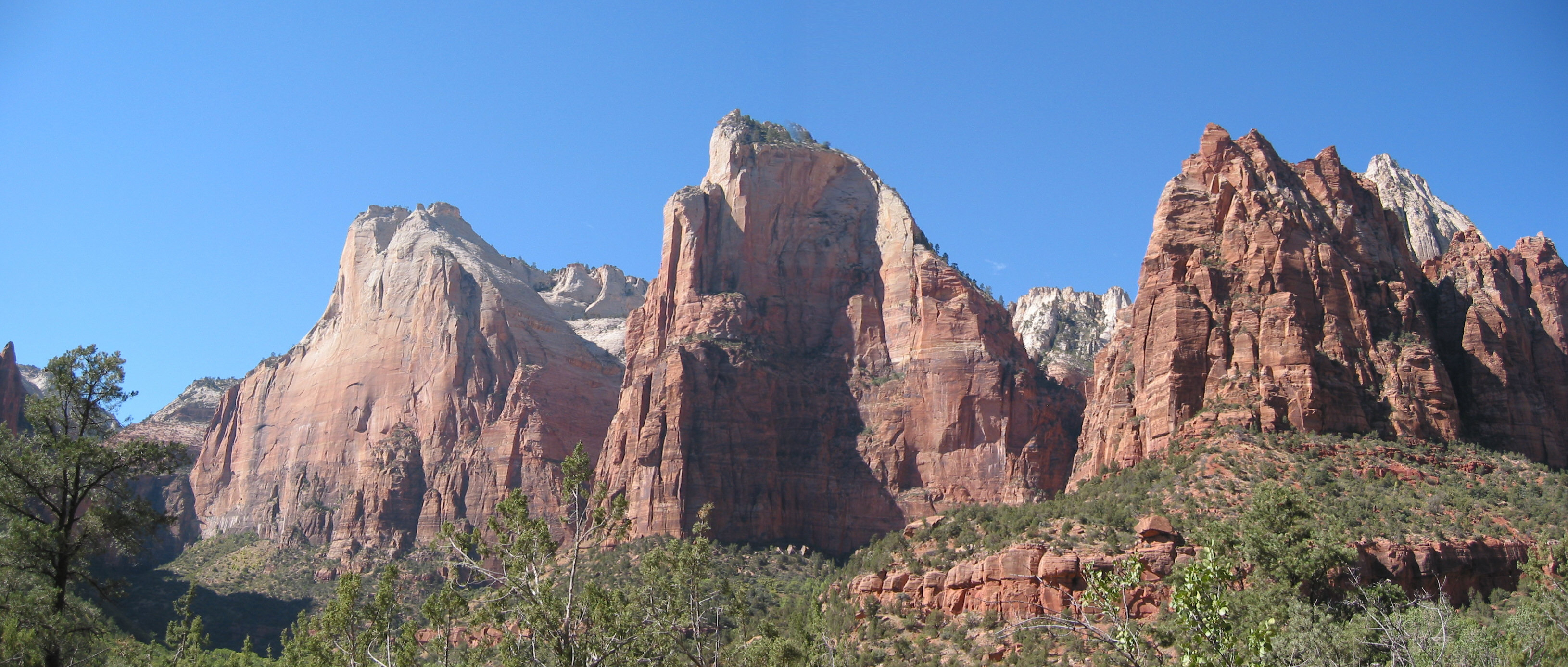
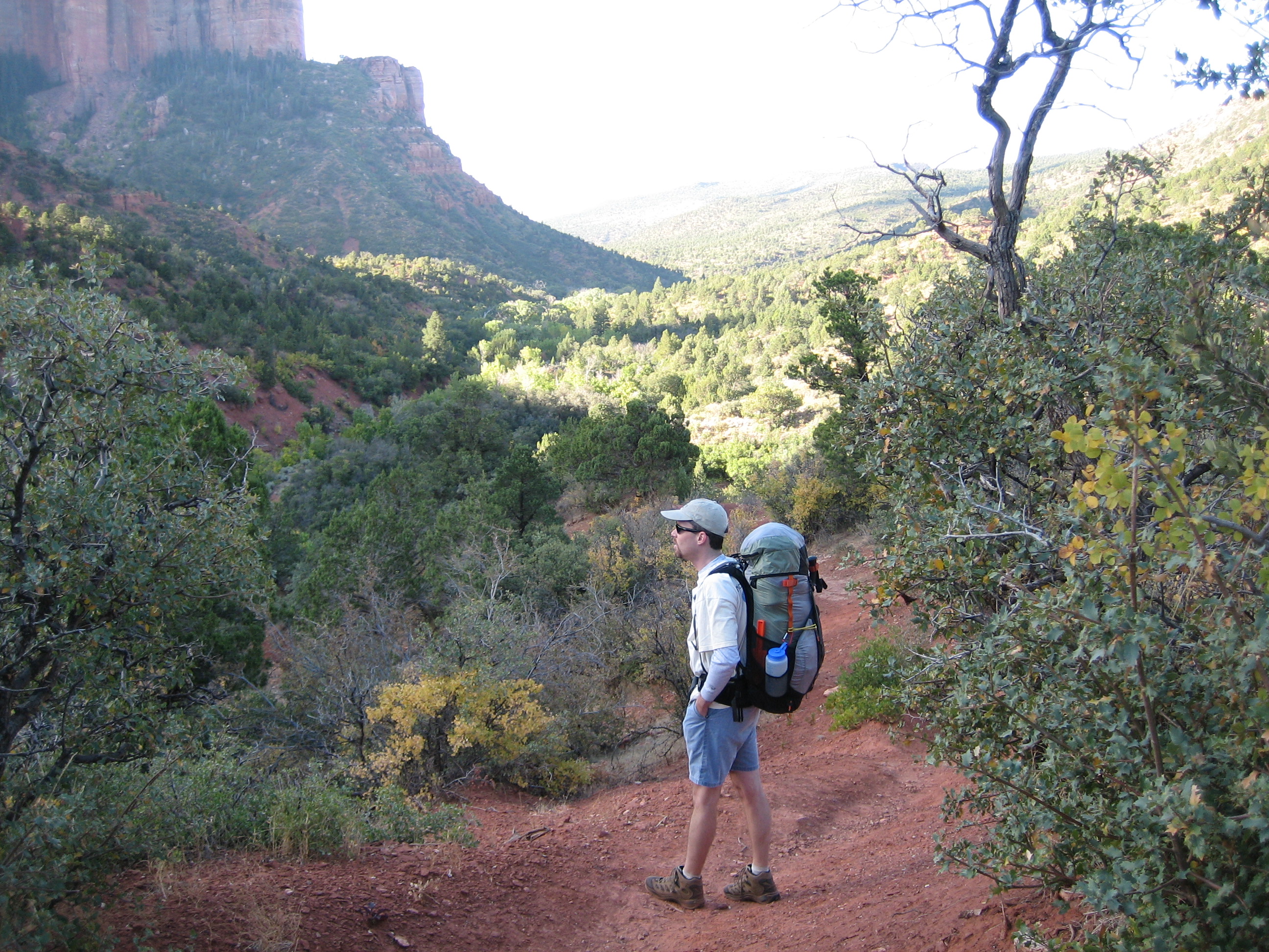
A business trip in September caused some quick thinking about a possible backpacking trip near Las Vegas. We thought about going back to the Grand Canyon, but eventually decided to try Zion National Park. Zion was an easier drive from LV and neither of us had ever been there plus both of us wanted to see it. We were well rewarded, Zion Canyon is gorgeous. The whole park was great, in its own way. There were parts of Hop Valley that were not so attractive. A little too much sand and sagebrush for me, but some nice surroundings in parts and an occasional herd of cows for confusion. But overall a fantastic trip, just being outside and not carrying a phone with you every minute of the day is worth the price of admission to me. And Le Verkin Creek, Bear Trap Canyon, Zion Canyon, The Narrows, and even Springdale were all great.
Our original plan was to fly in to LV early leaving plenty of time to get Zion NP and look around a bit then car camp at one of the southern campgrounds on the first night, this would allow us to get our backcountry permit that afternoon and consume plenty of beer before starting our real trip early the next morning. Plans were modified slightly before we ever left Nevada. Apparently a pair of large trucks decided to dance on I-15 and one of them caught fire and turned to ashes on the Interstate. Which meant we were parked on the highway for 90 minutes or so, and neither of us remembered to bring a Frisbee. On the positive side, the beer we had just iced down was gonna be really cold by the time we reached Utah. Other than car accidents the trip from LV to Zion NP is very convenient and shorter than the drive to either rim of the Grand Canyon.
We arrived late to the backcountry office, but were still able to get a permit for the trip that we wanted. Because of how dry the northern part of the park was, we needed to drive up and cache water for our trip through there several days later, then over to Oscar's in Springdale for a late dinner. Not late in Utah, but around 10pm eastern. Very good food, a little bit trendy, ie the service was not good, but the food was pretty good. Then back to Watchman campground to get our gear ready for an early start the next morning.
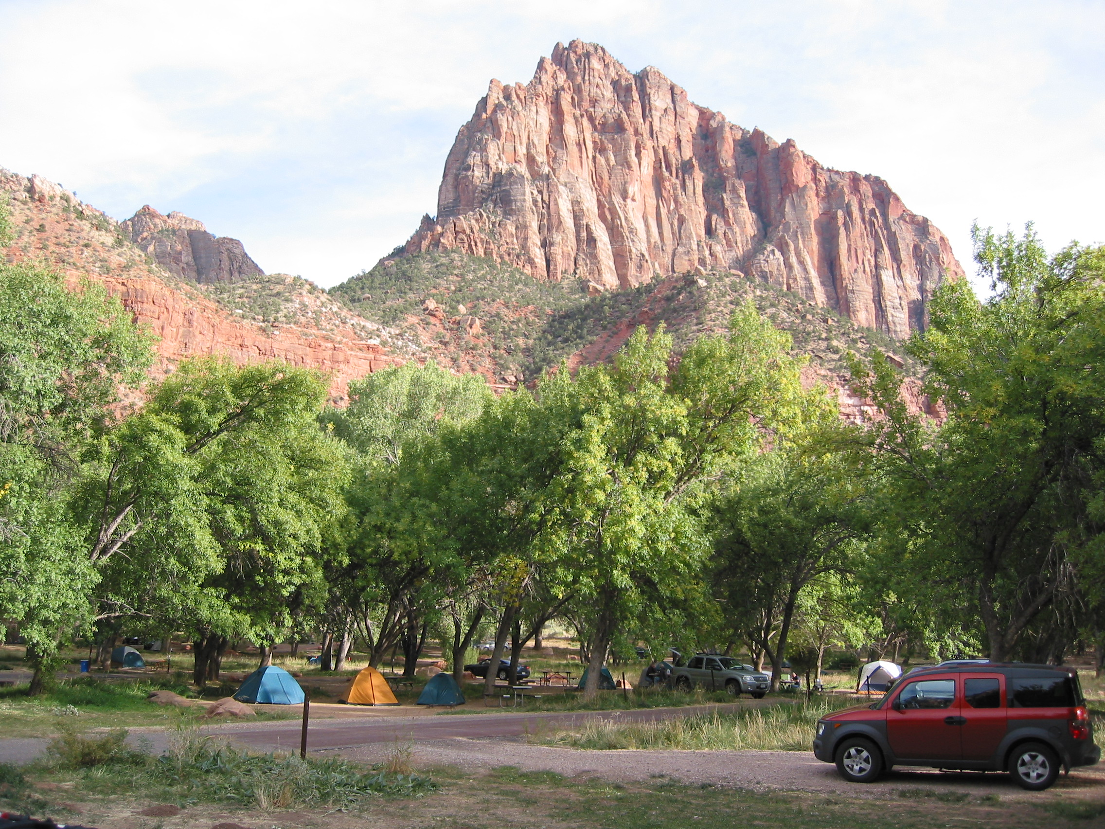
 the view from our campsite at Watchman
 our campsite, including the rental chariot
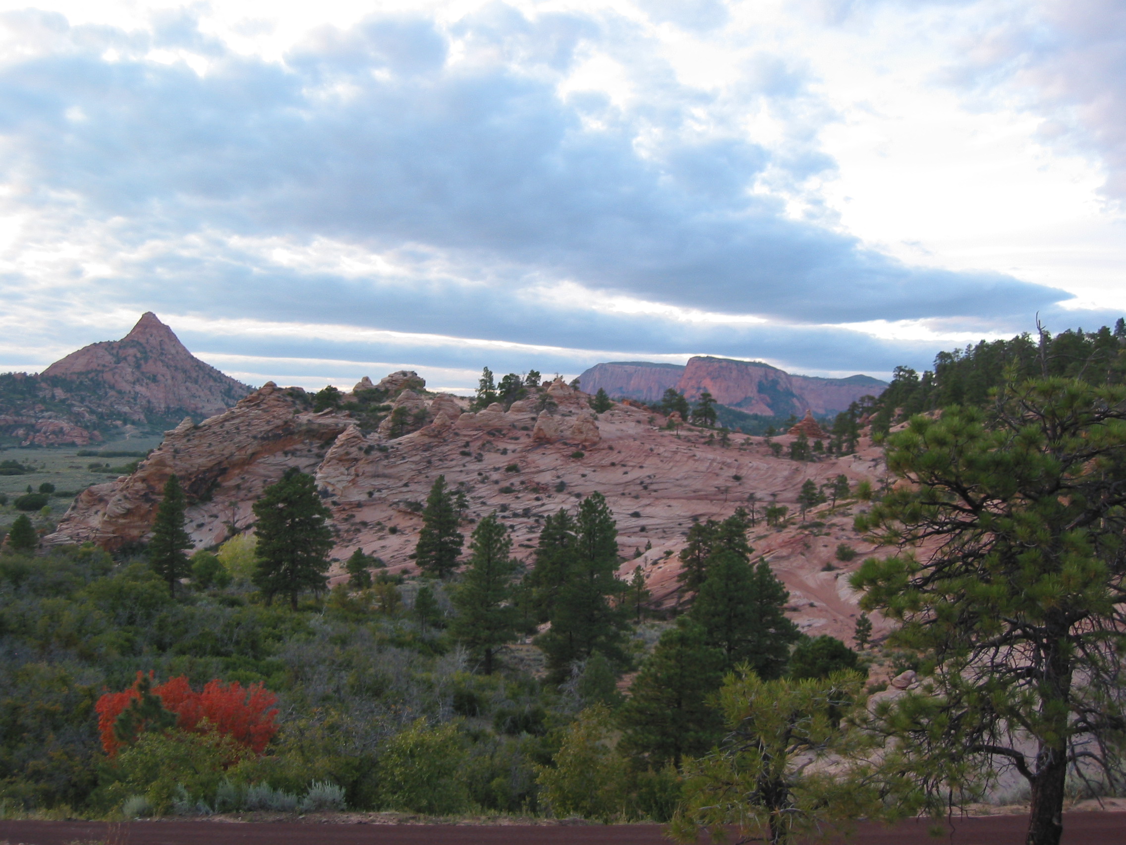 Hop Valley area, our water dropoff - sunset
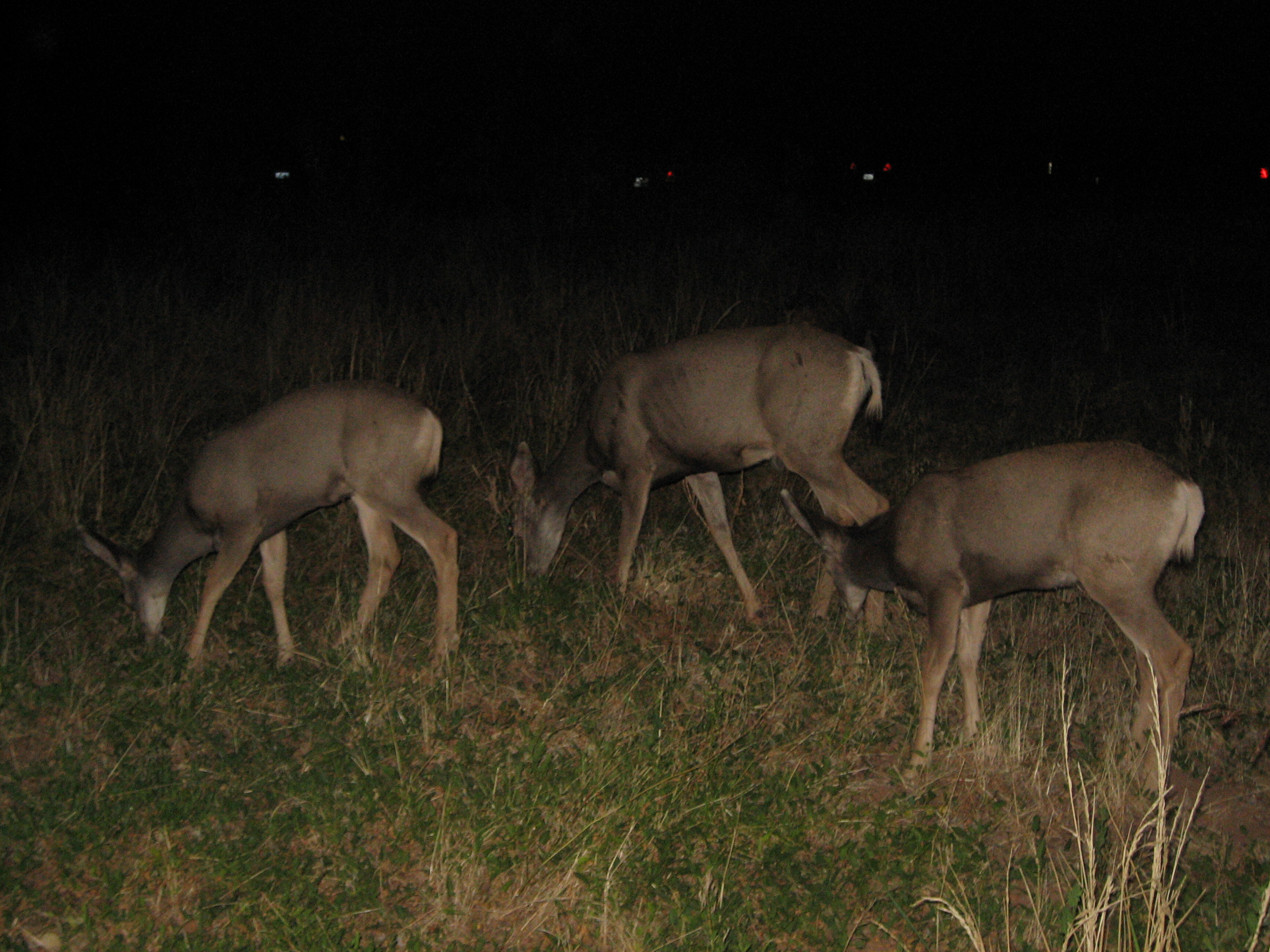
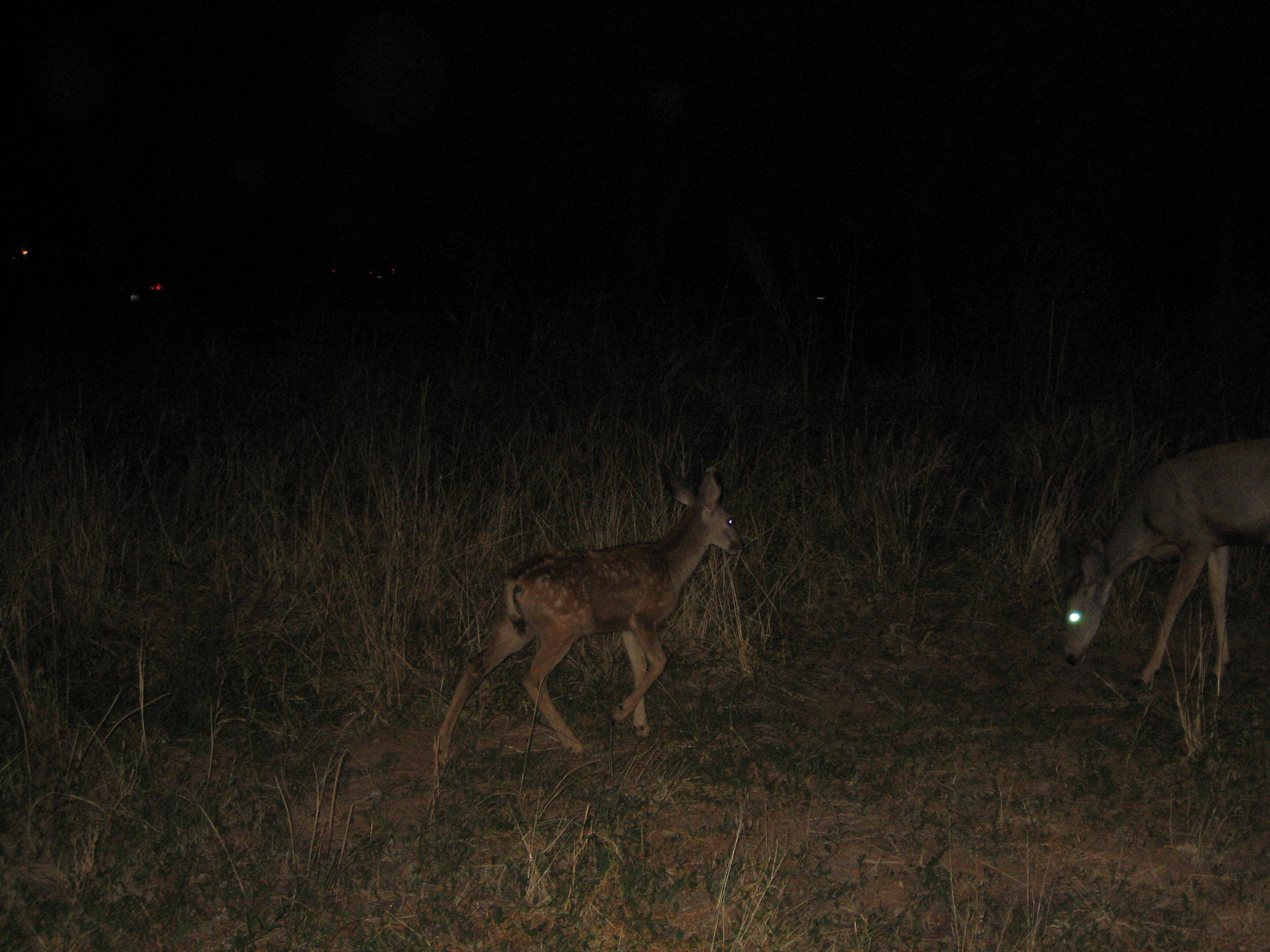
Then the late night deer activity

Time to get this hike started the next morning
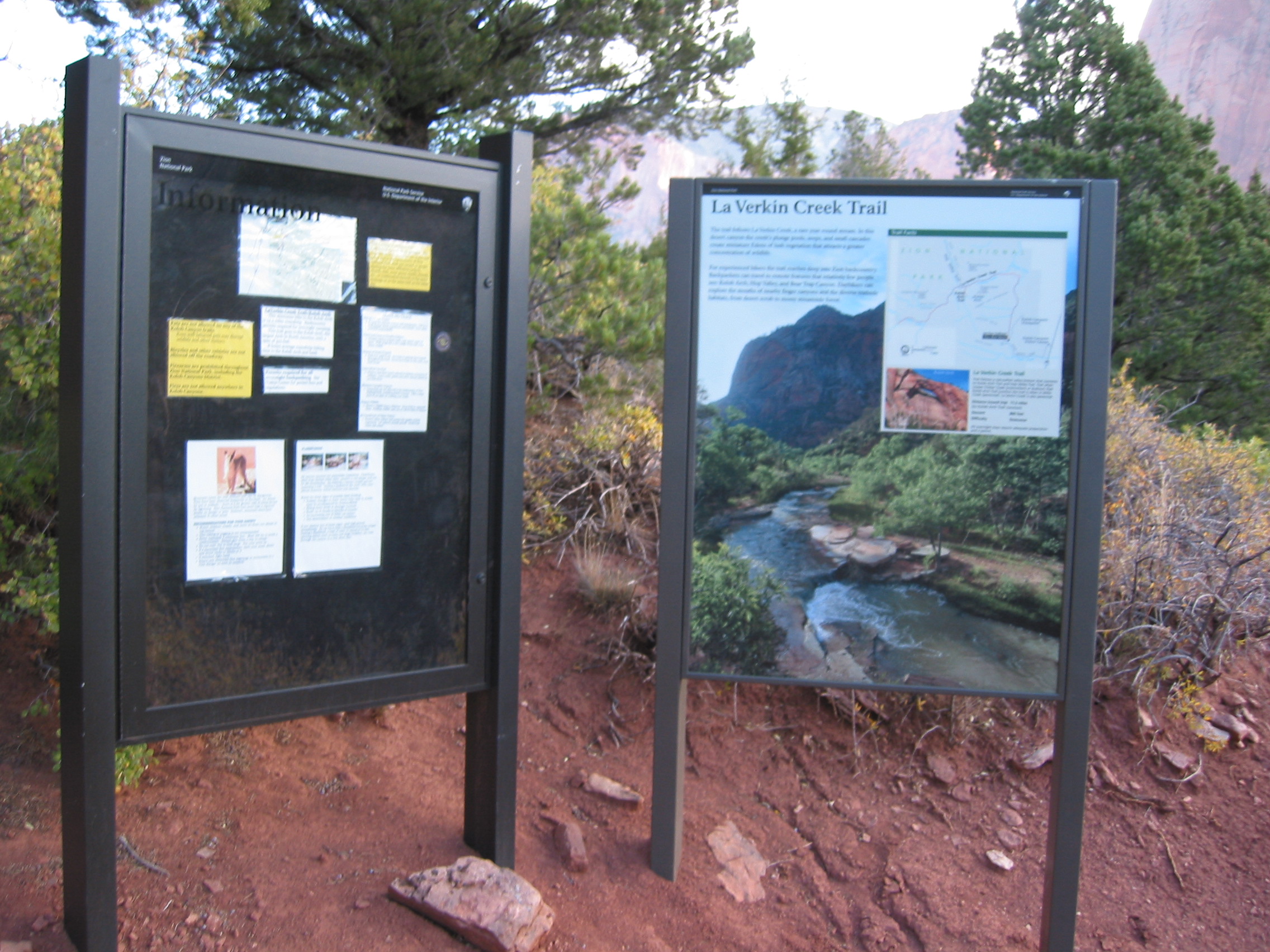
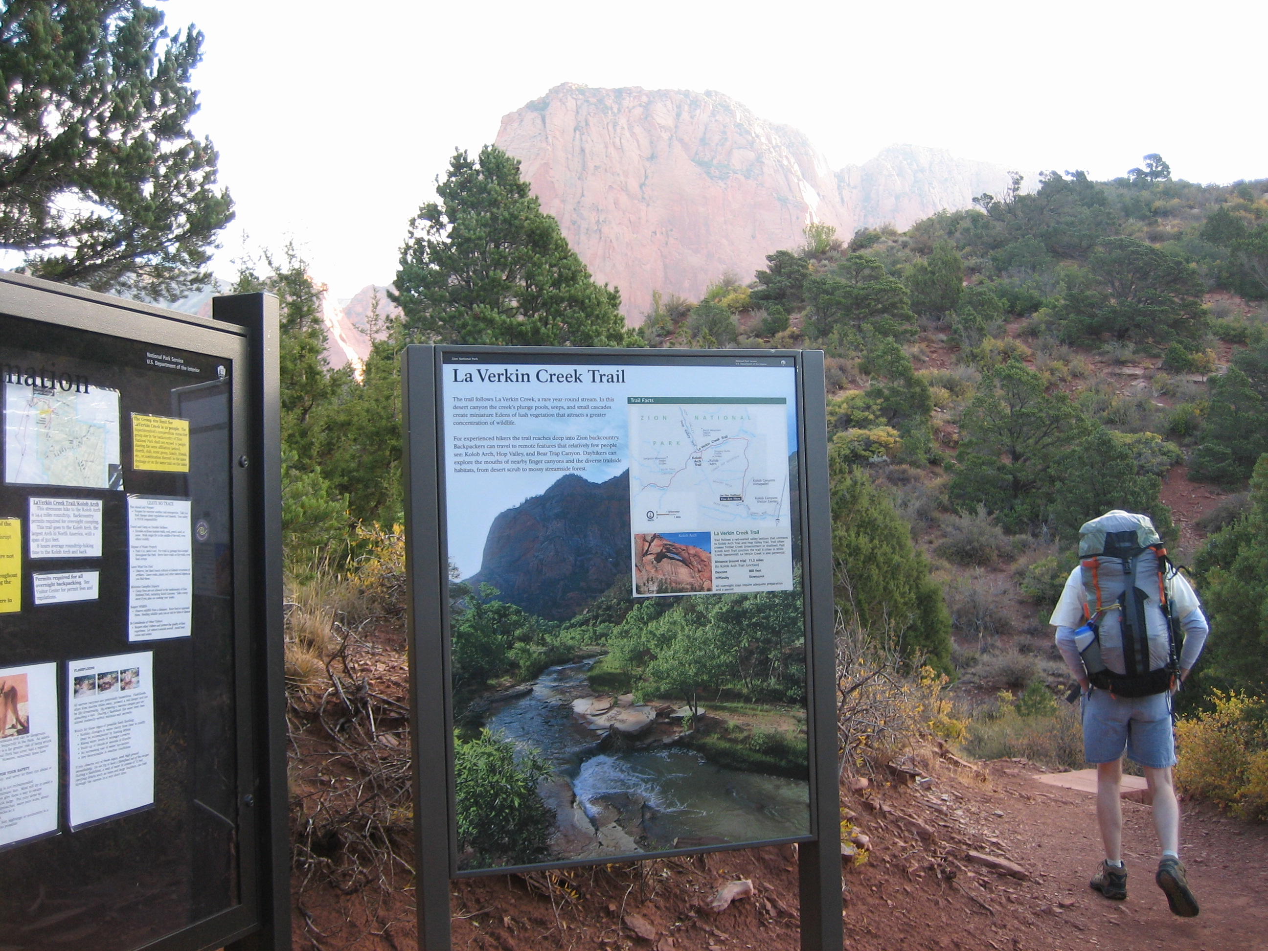 After an hour long shuttle, we arrive at the Trailhead.
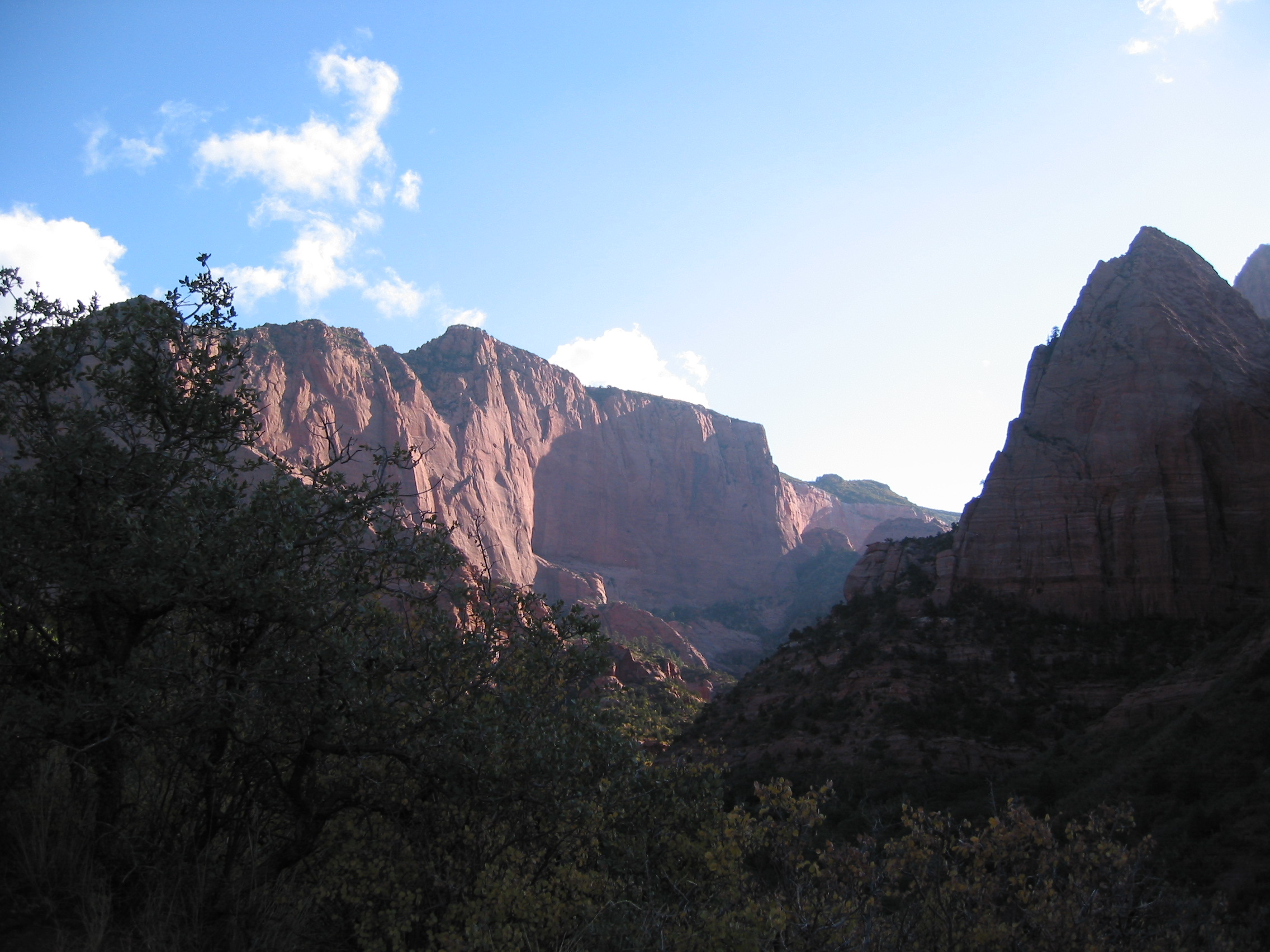
 ten minutes later, everything looks great
It is cold this morning, not cool, cold. Our shuttle driver said these were November temps, not September temps. So it looks like we may have under-packed. I have one long sleeve t-shirt, one short sleeve t-shirt and a lightweight fleece. Paul has one long sleeve t-shirt and one short sleeve t-shirt. And of course shorts, so it was very cold. I am sure the rangers were giggling when we checked in that morning.
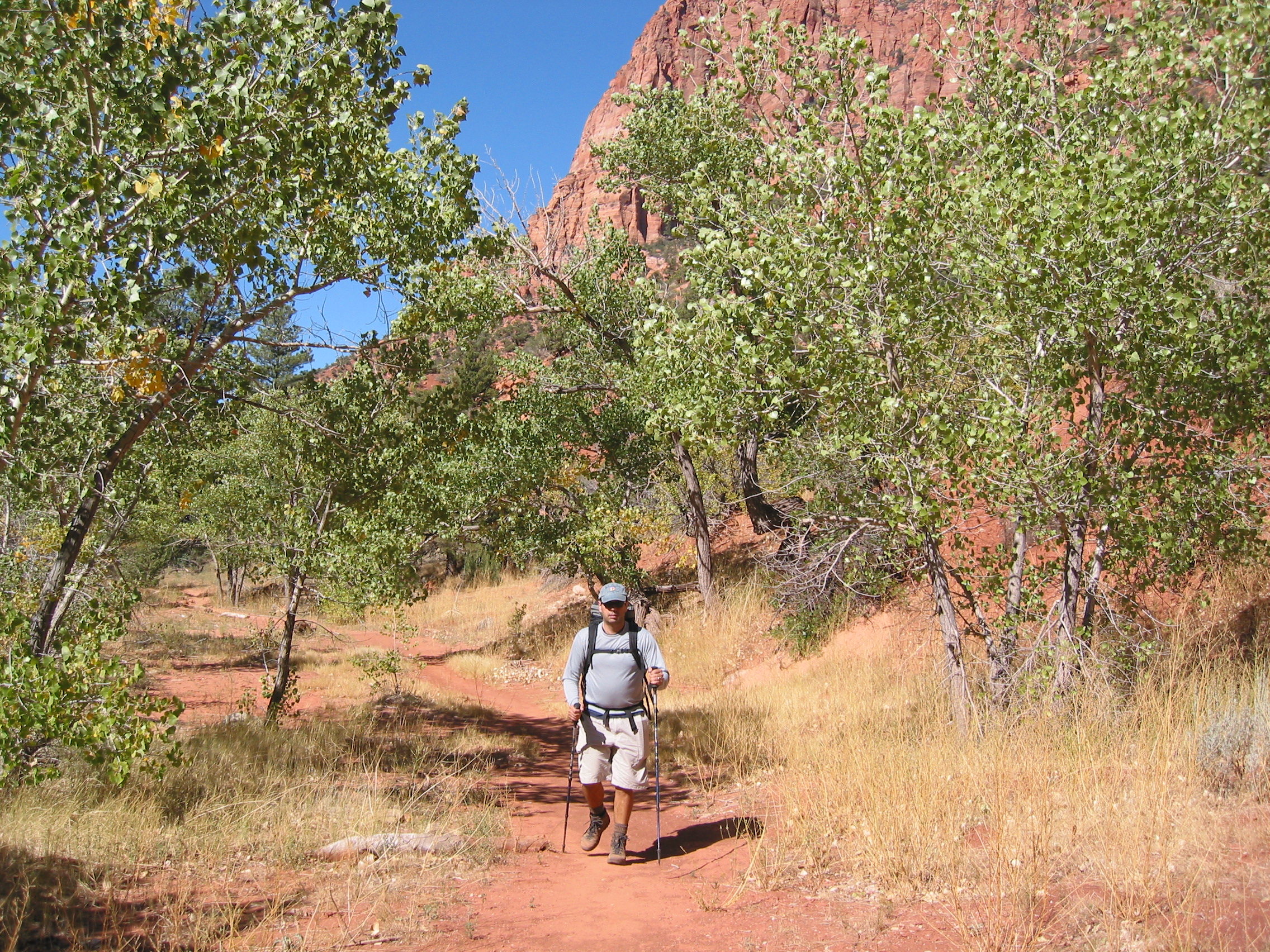
 headed that way
A lot of downhill to start.
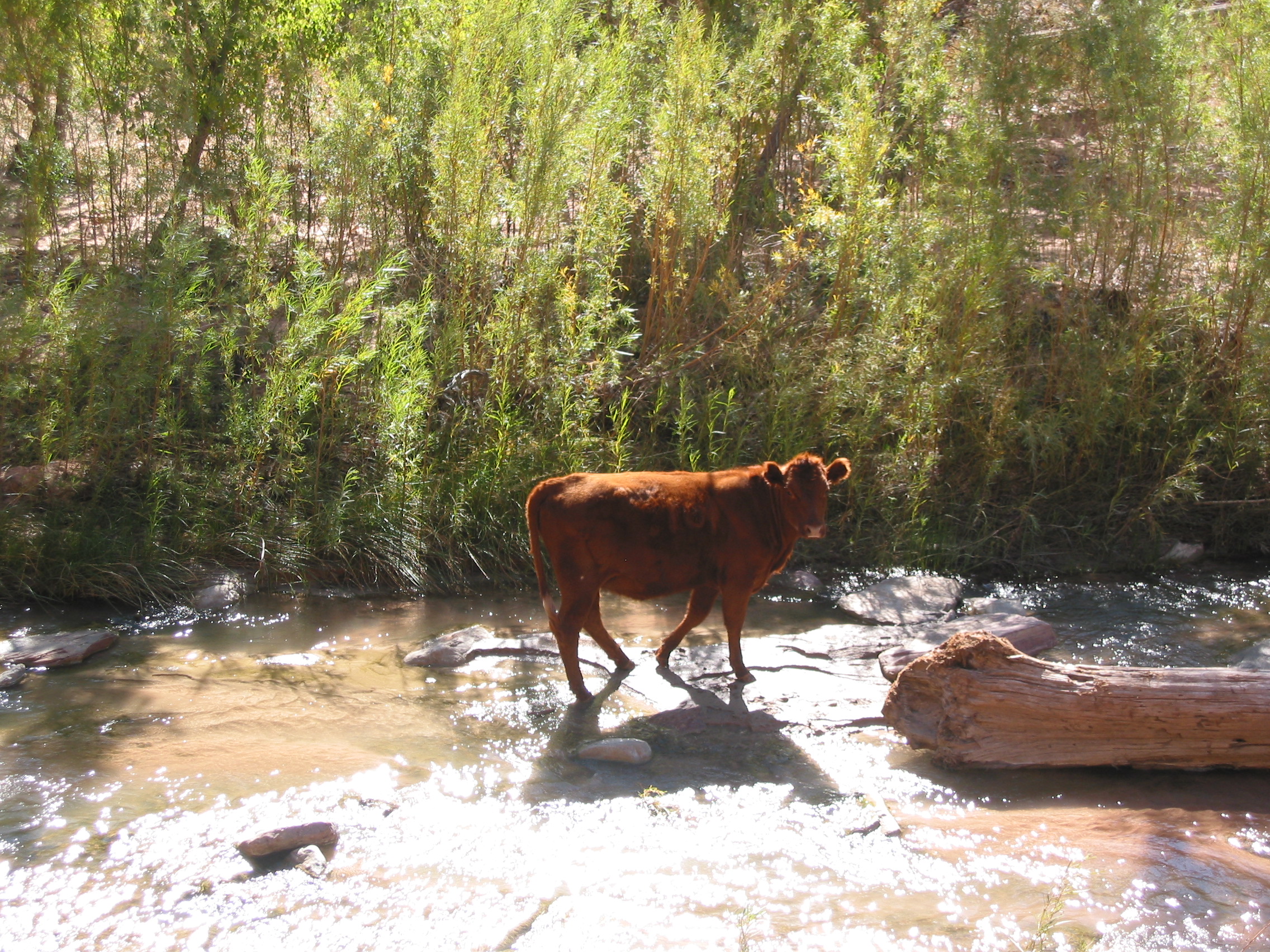
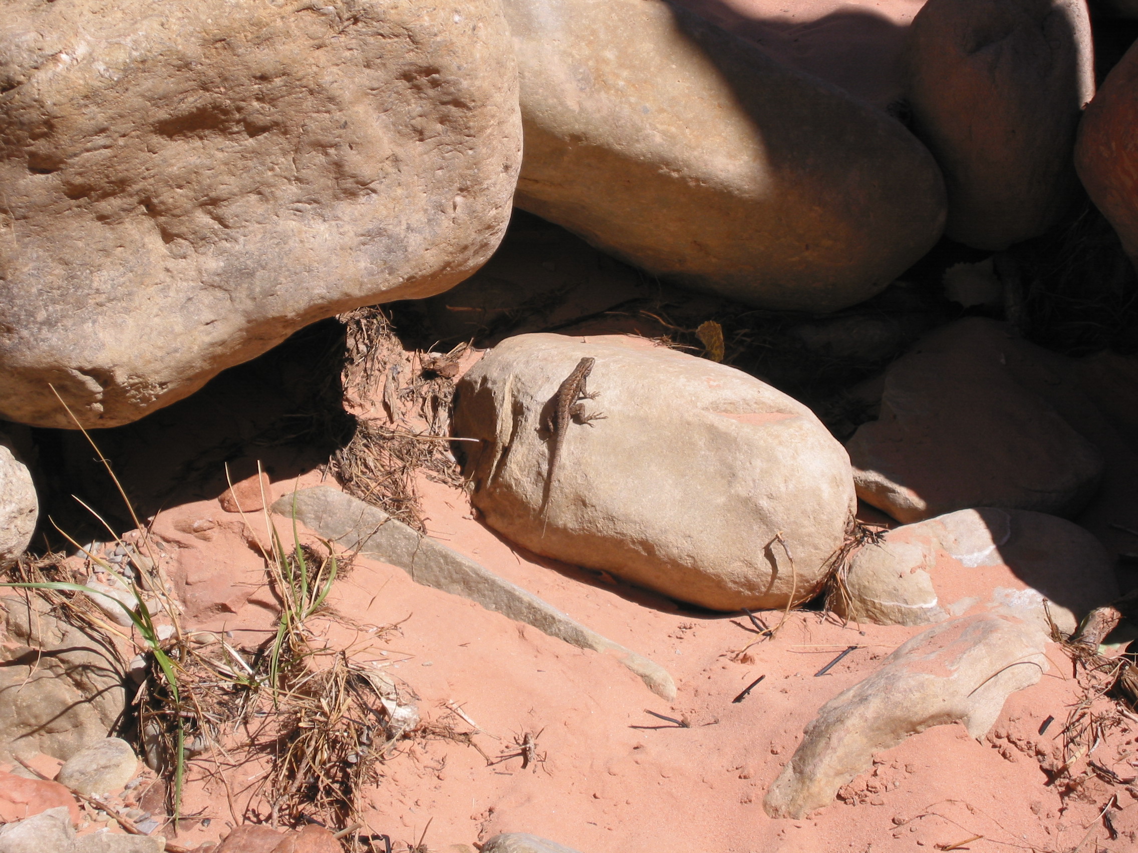
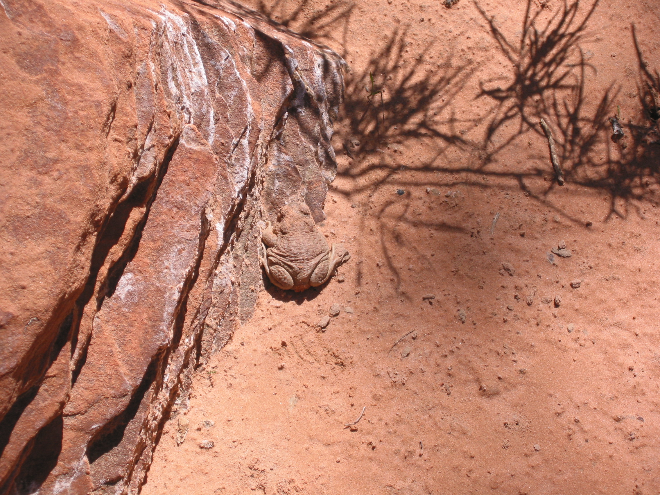
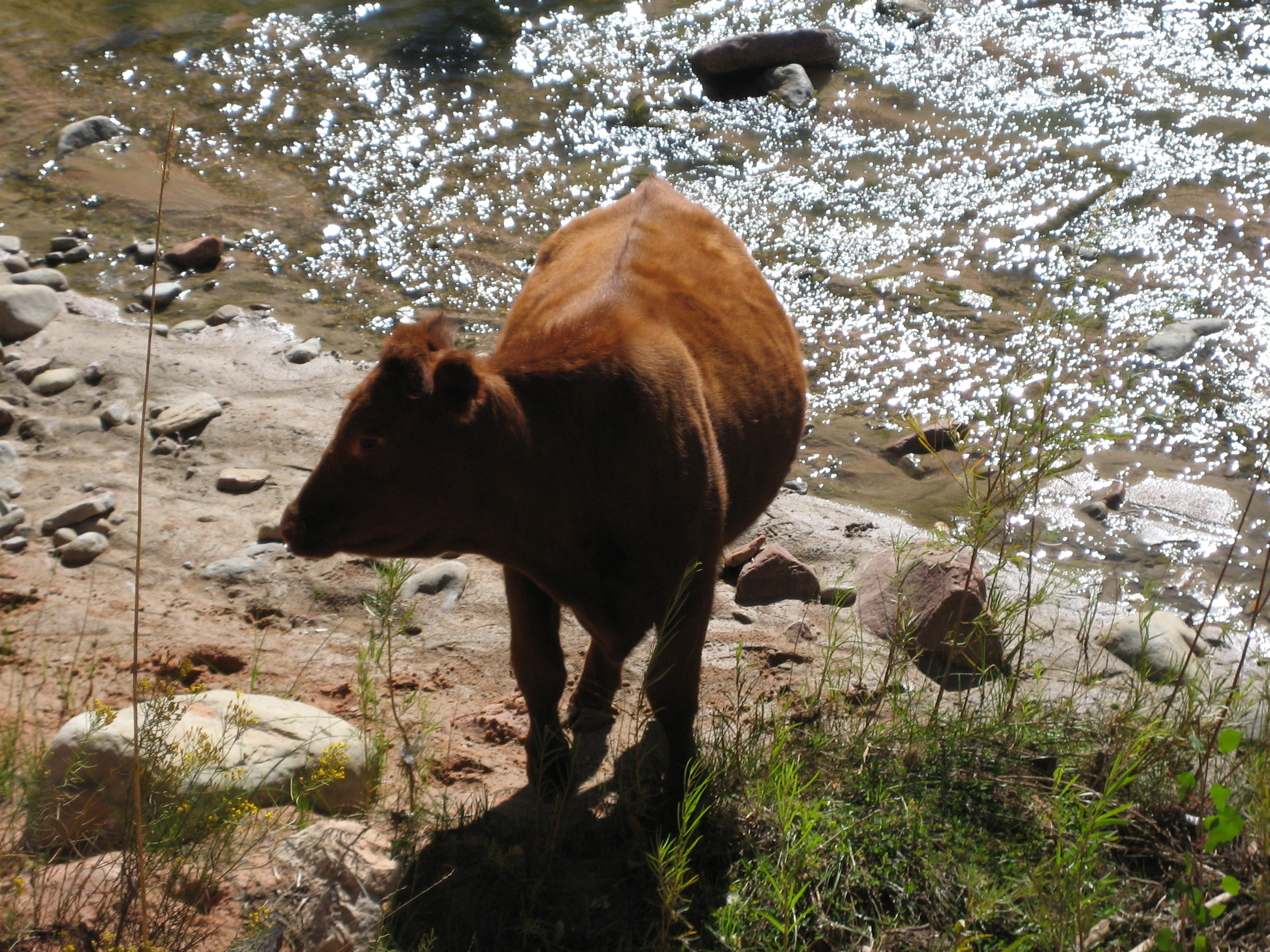 almost wildlife
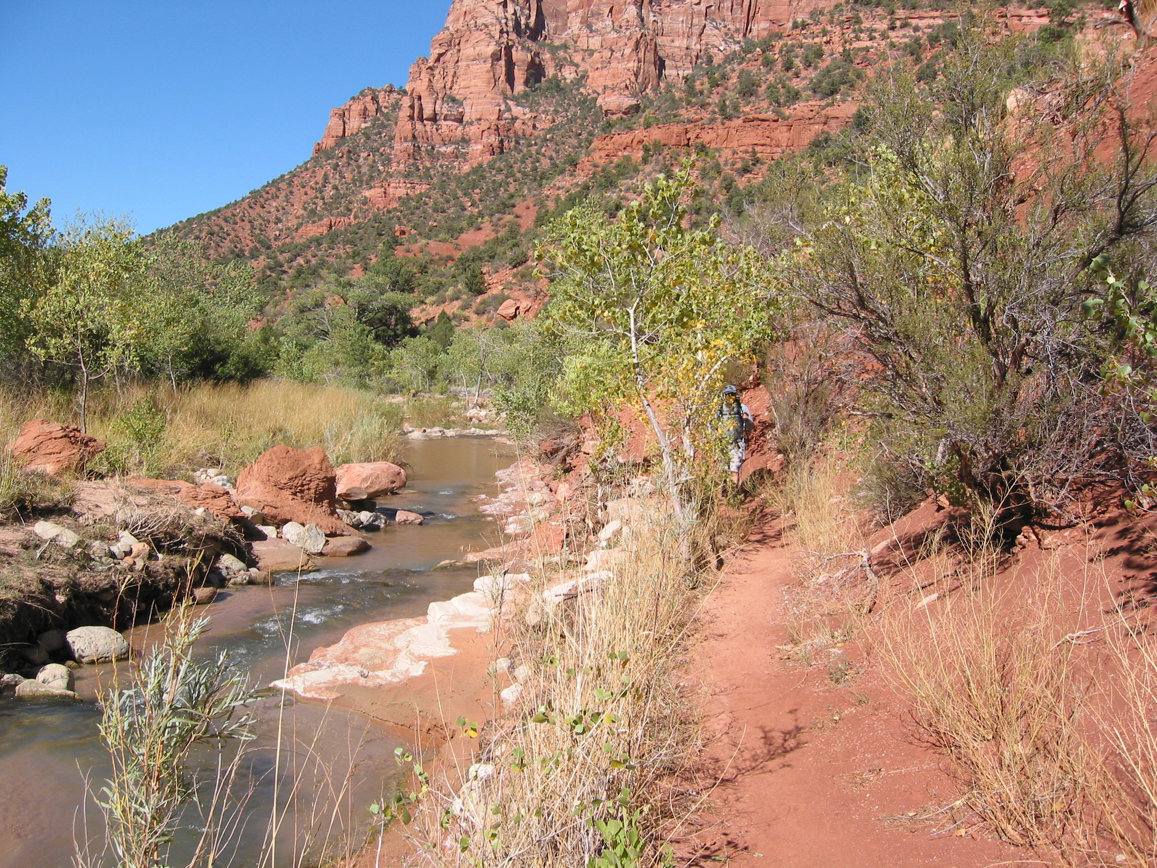
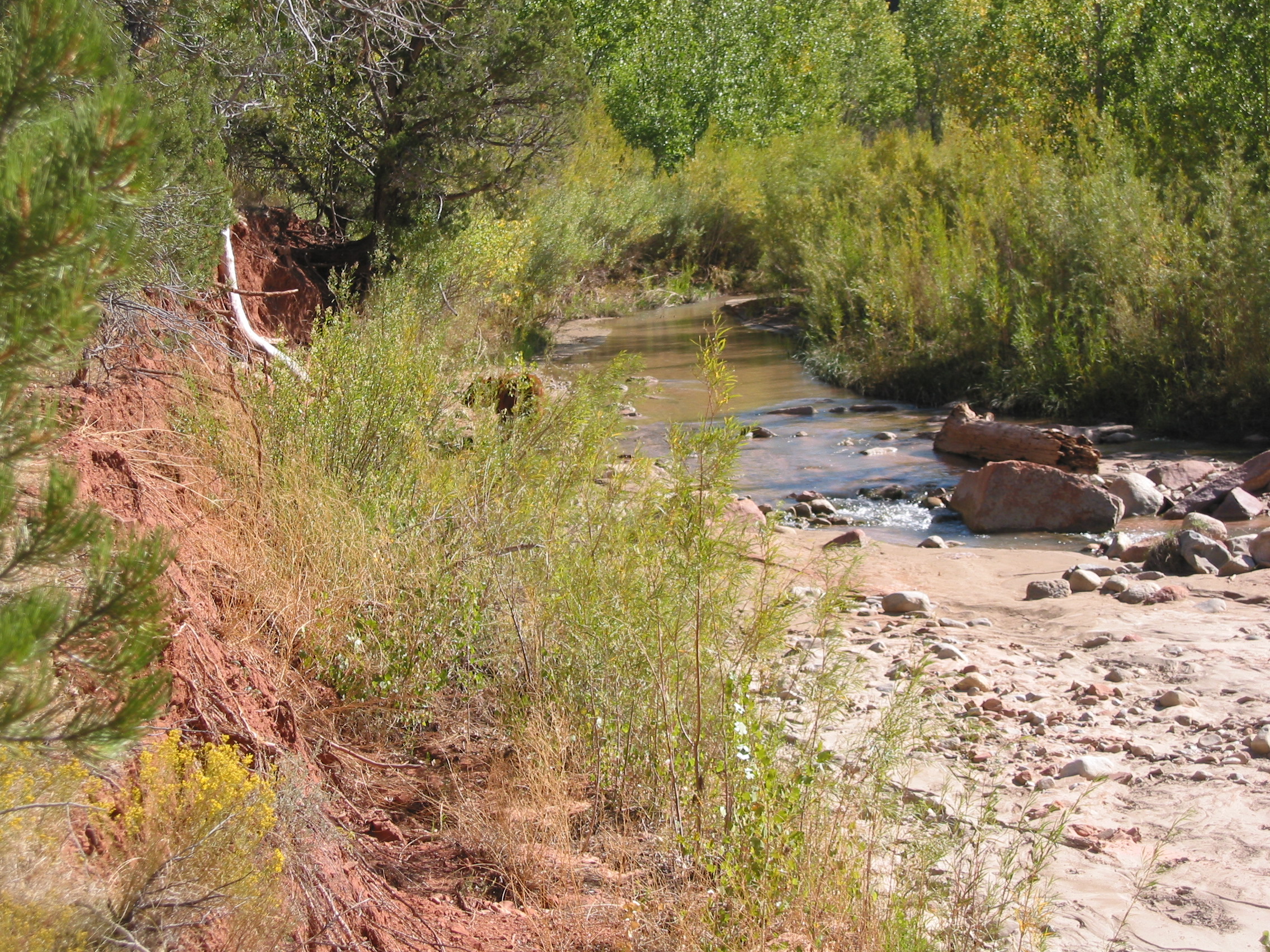
 Le Verkin Creek
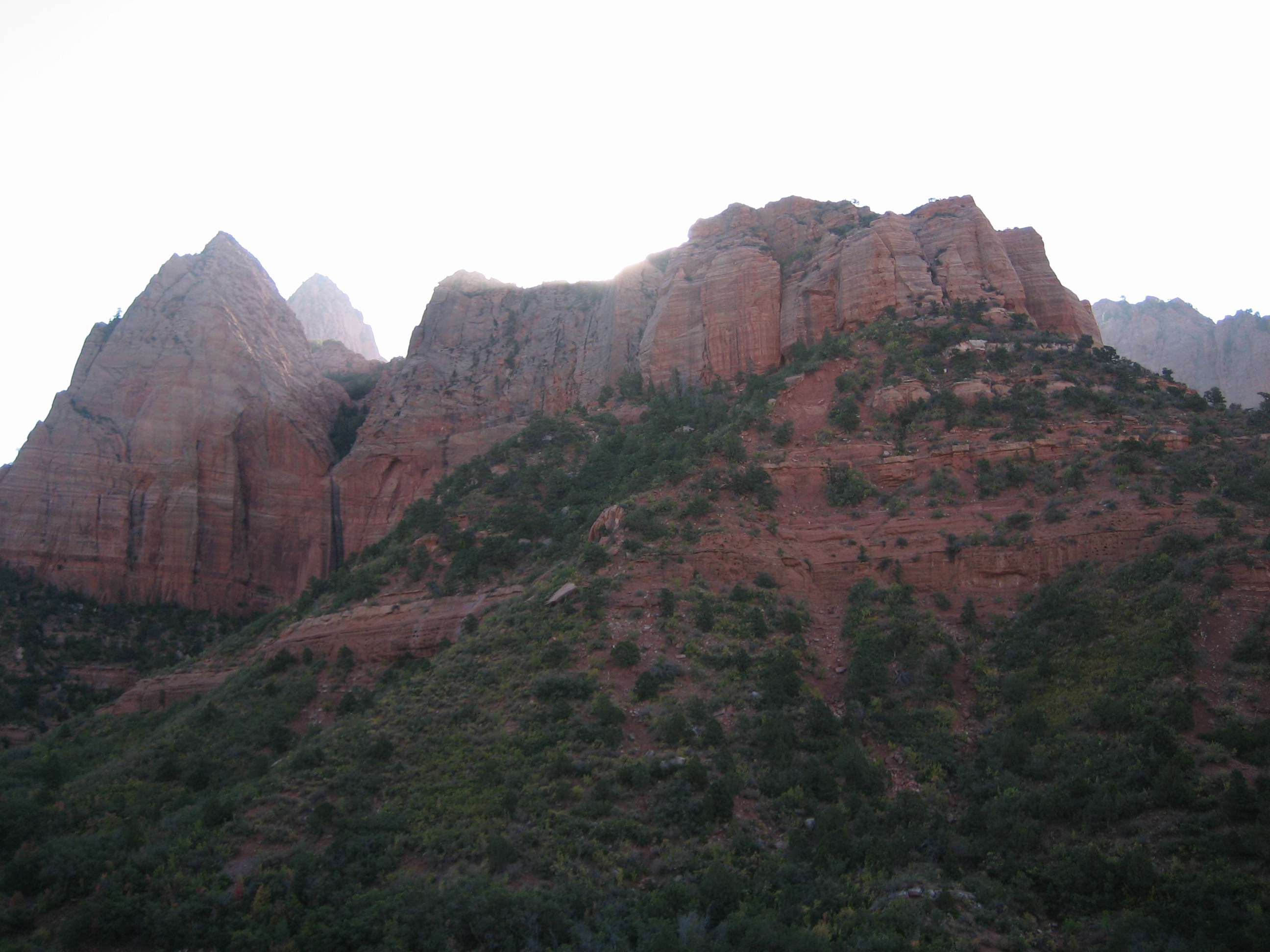
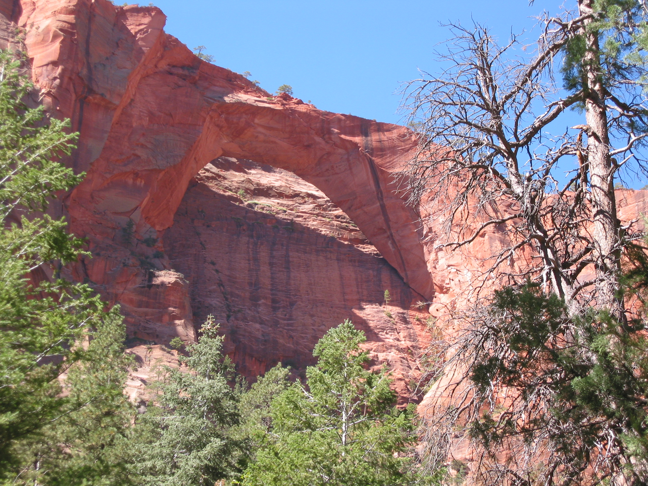
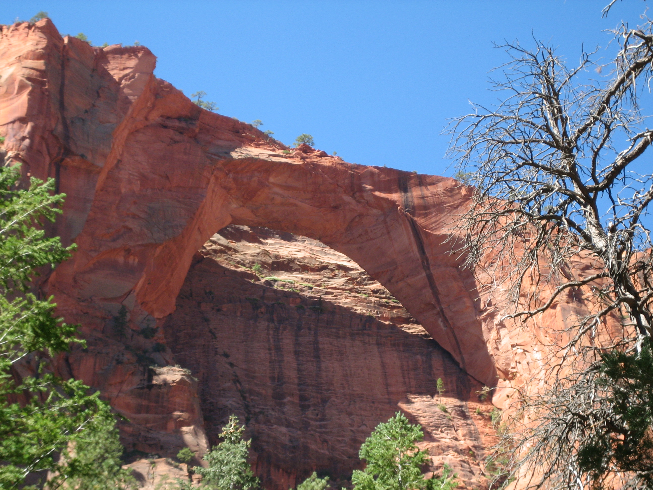
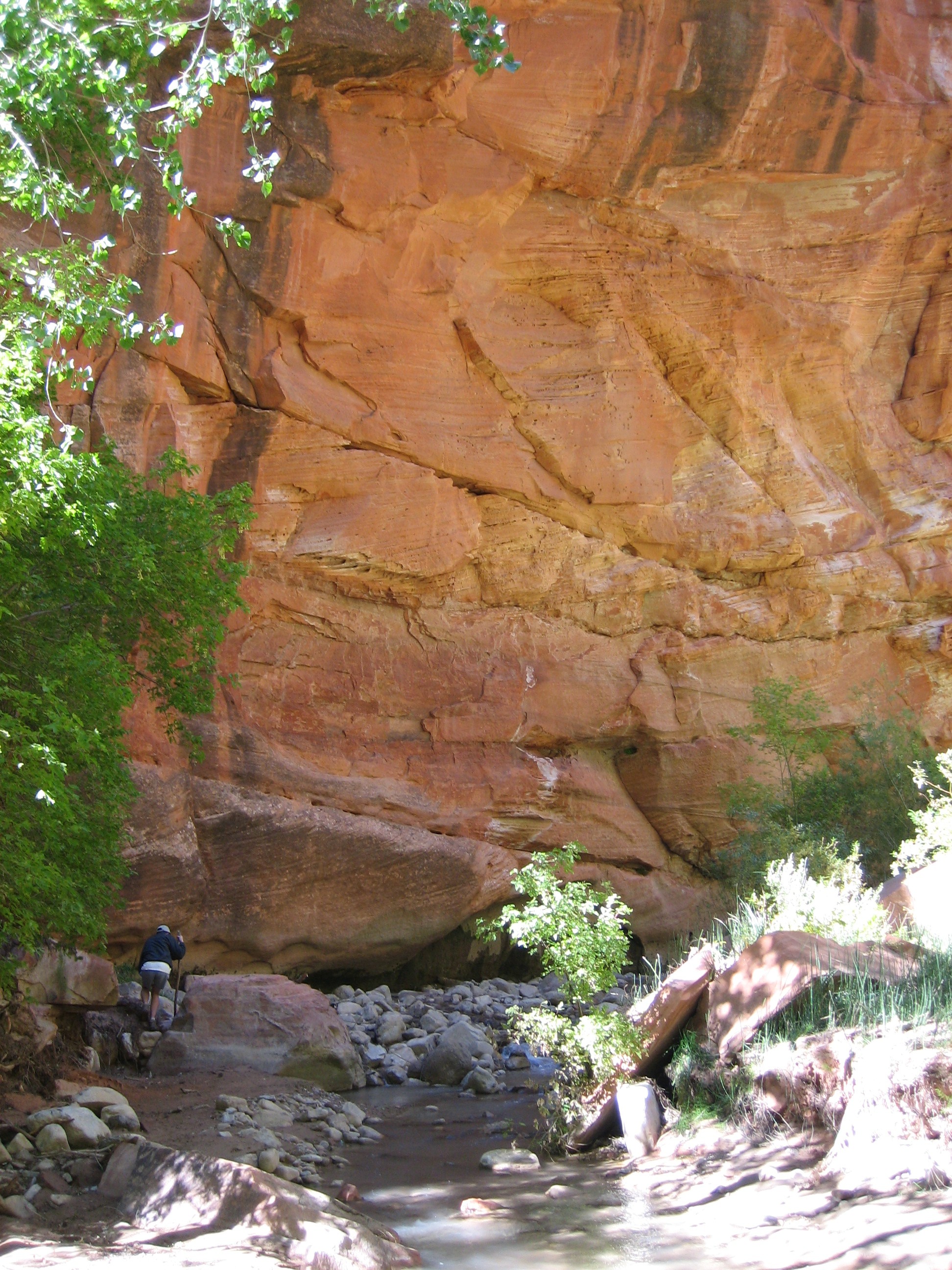
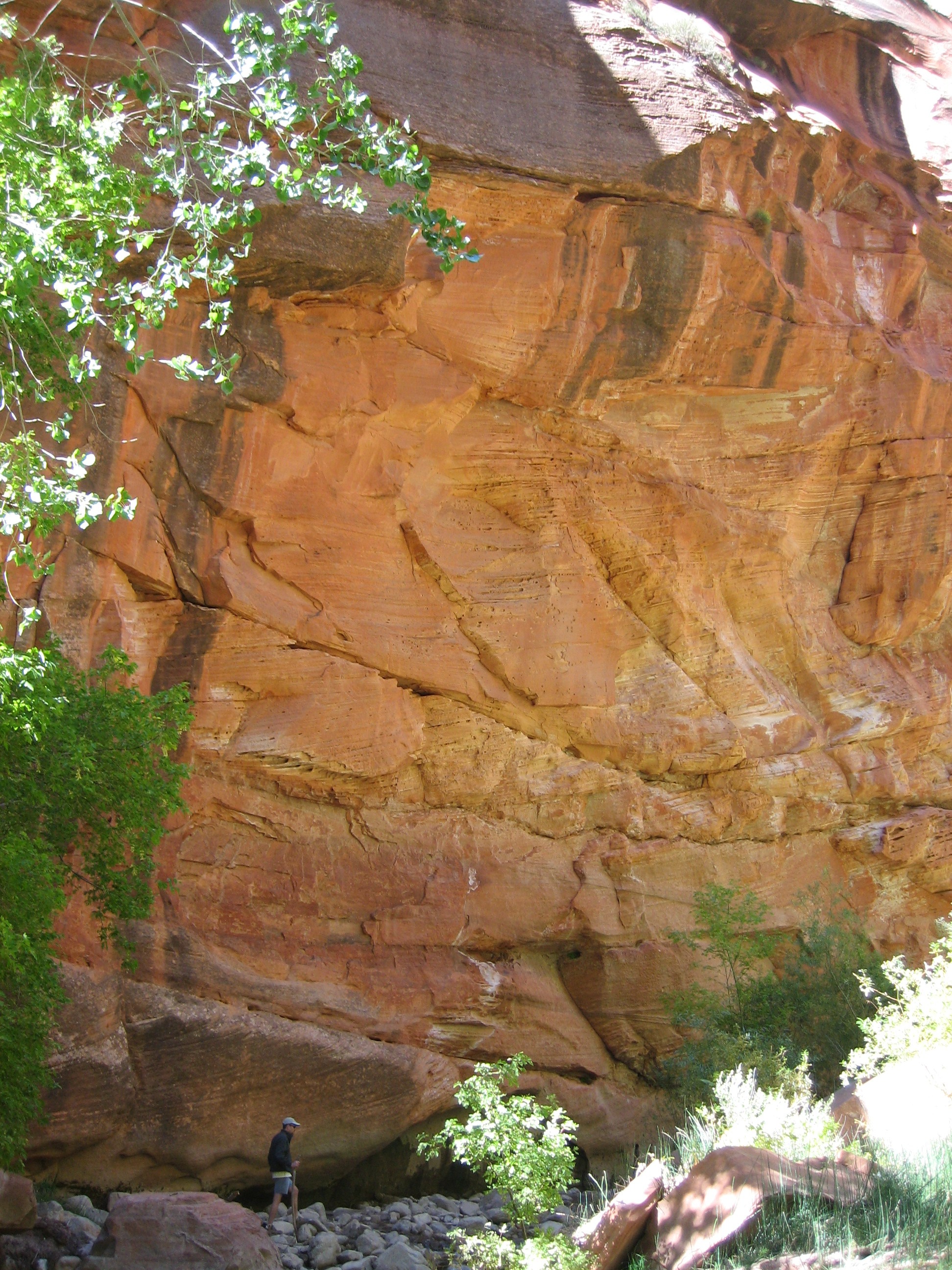
About 6 1/2 miles in we hit a side trail for 1/2 mile to see Kolob Arch, the longest known natural bridge in the world. It is hard to see the size of the arch because we could not get very close to it and there was nothing to give it scale. But it is said to be 294 feet wide. And the short trail to get to it follows a creek and was fun.

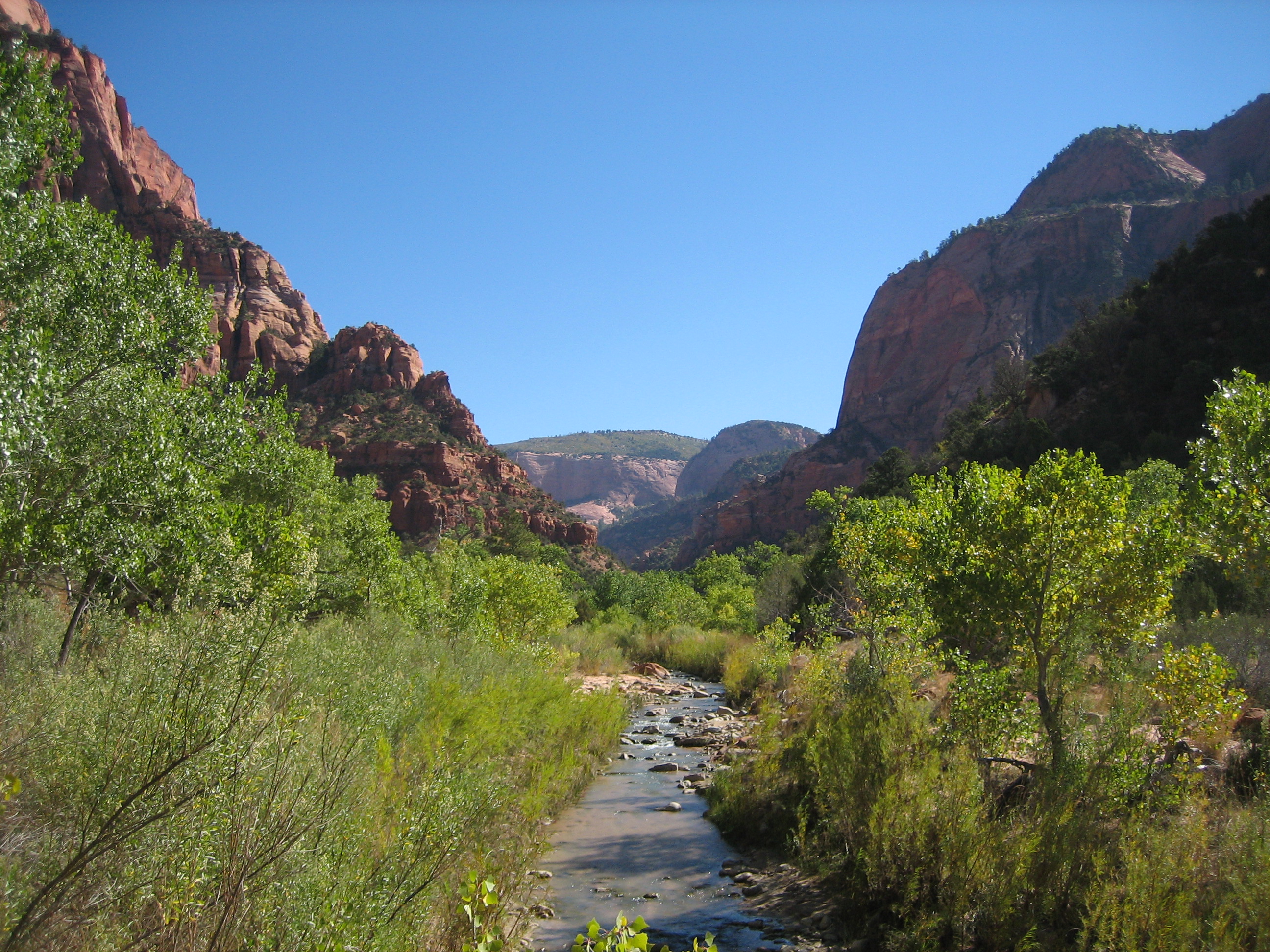
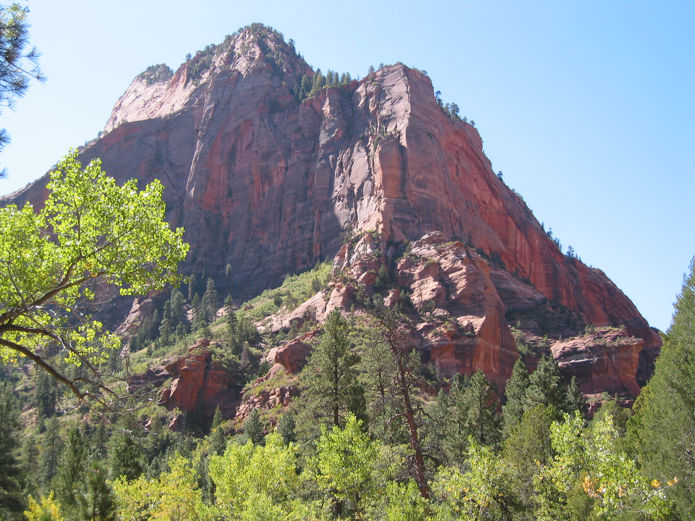
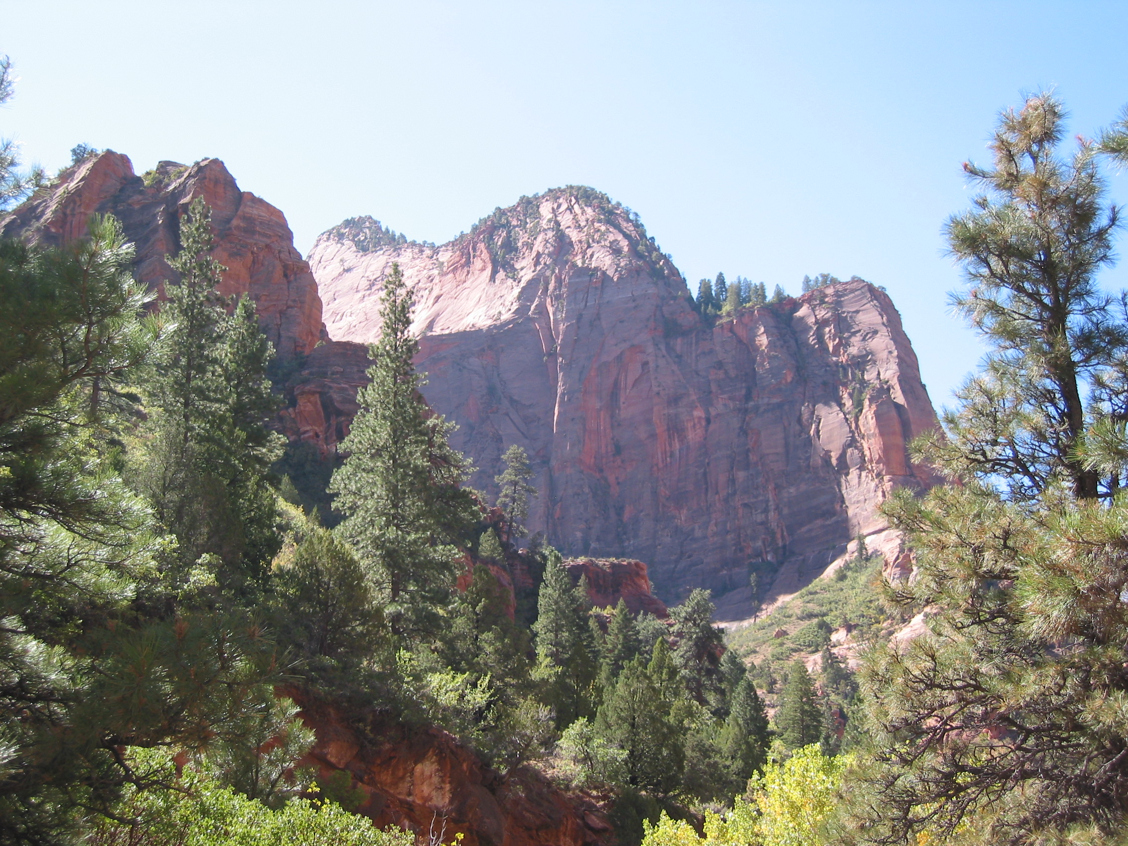
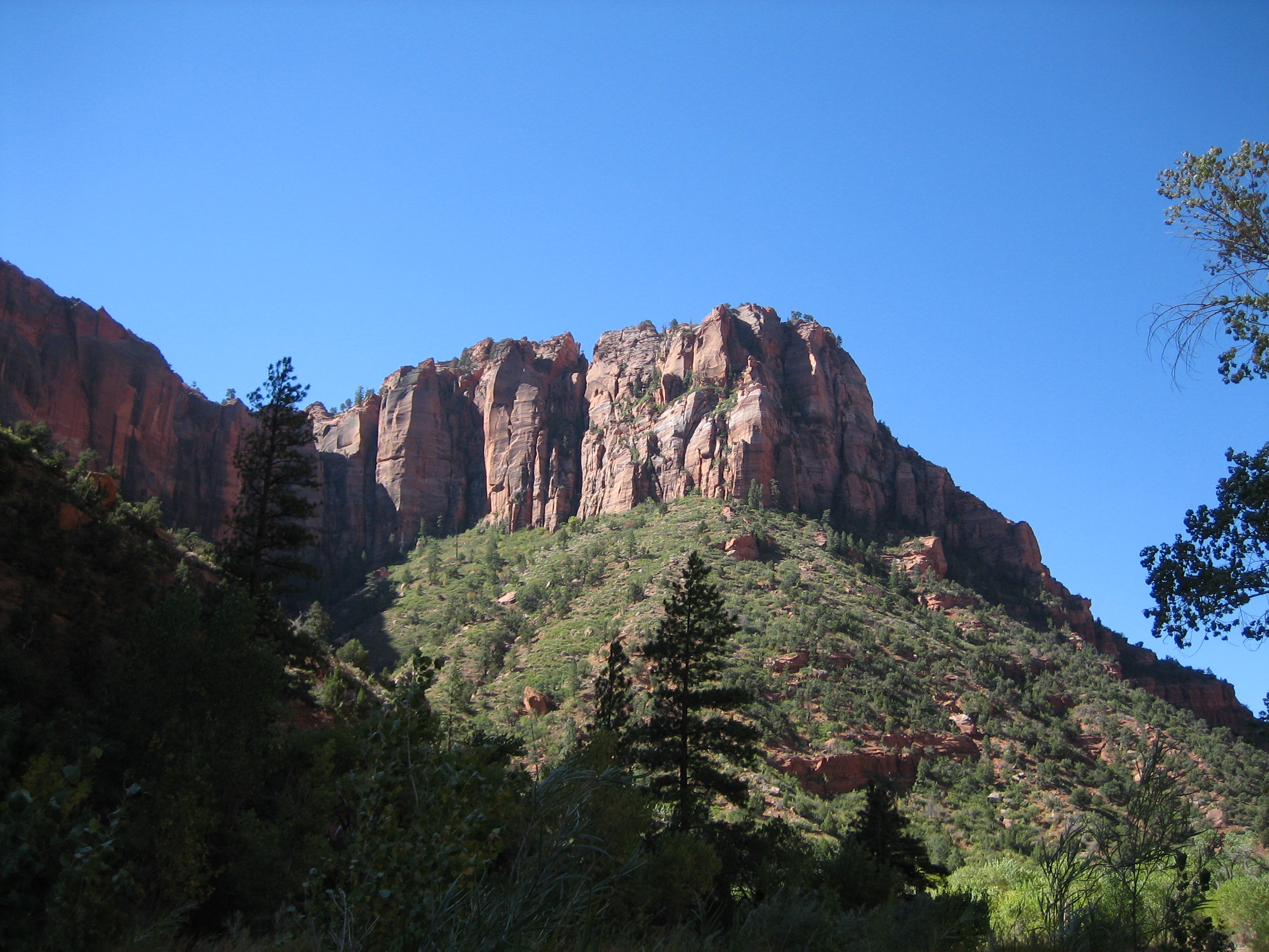
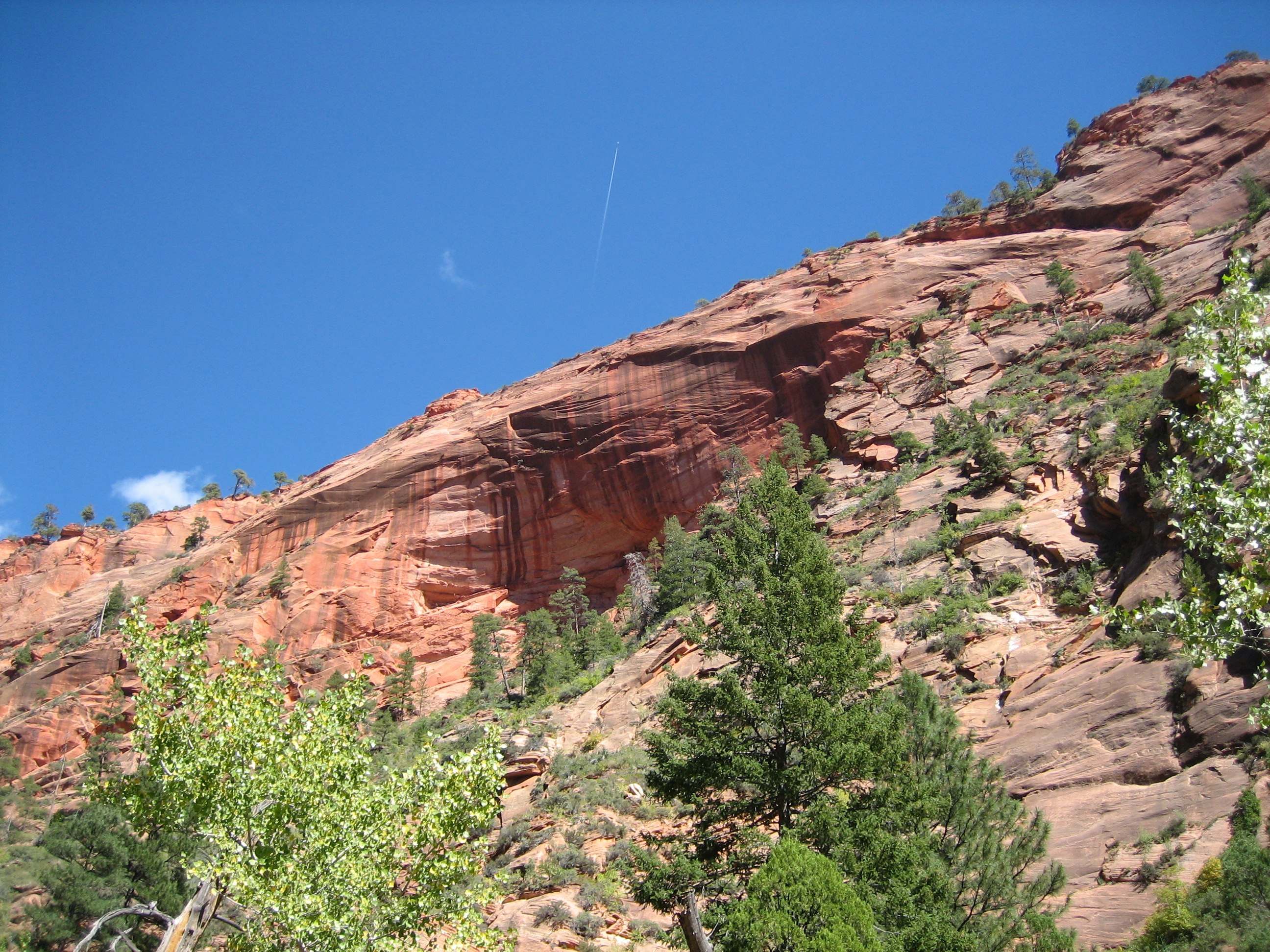
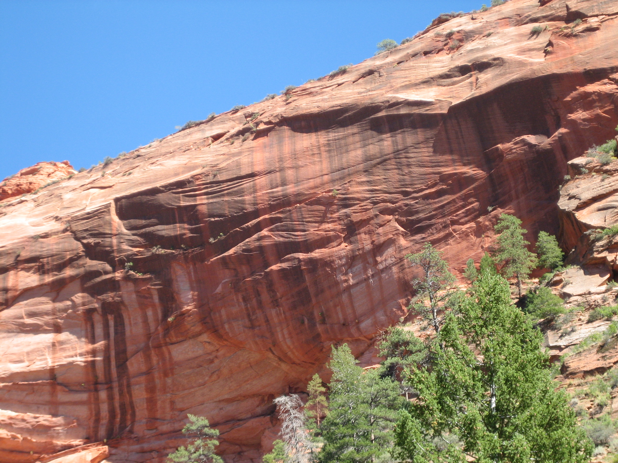
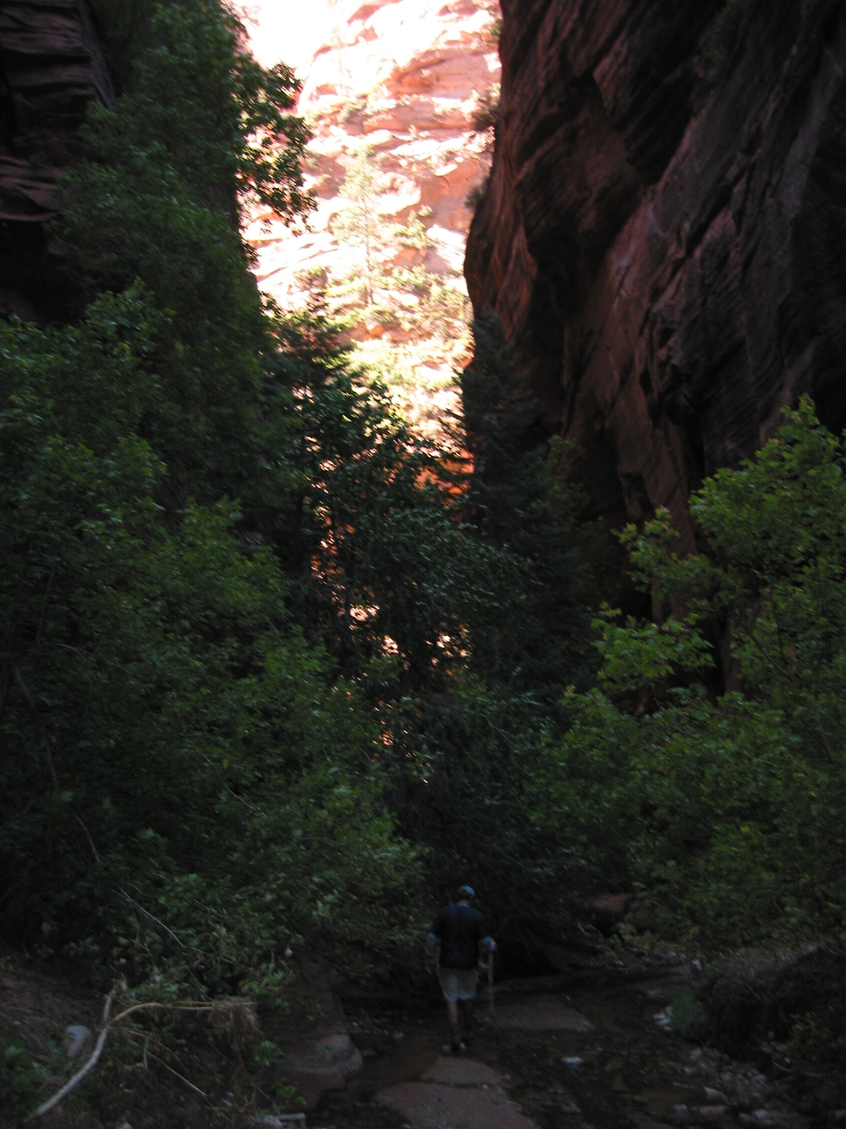
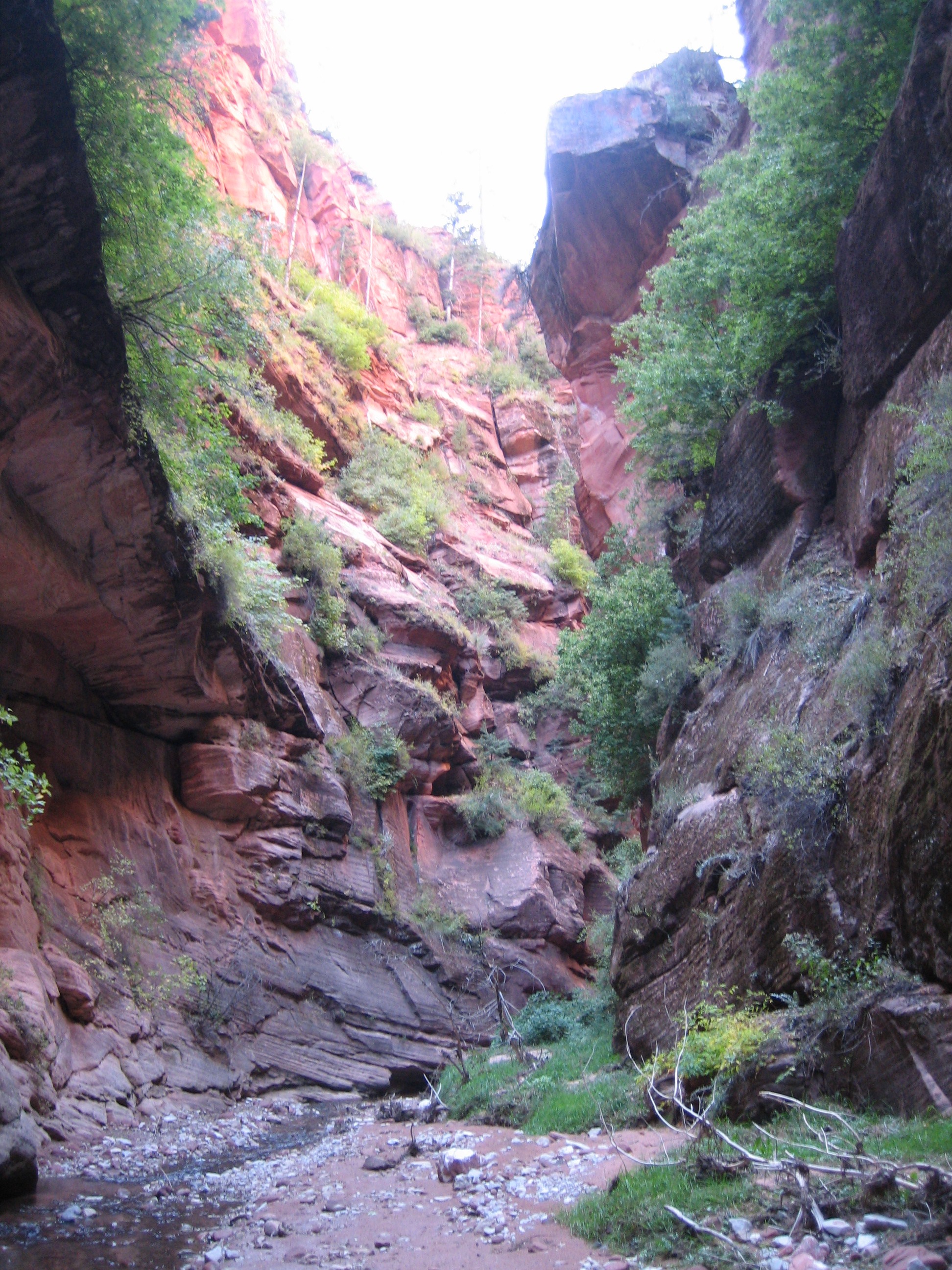
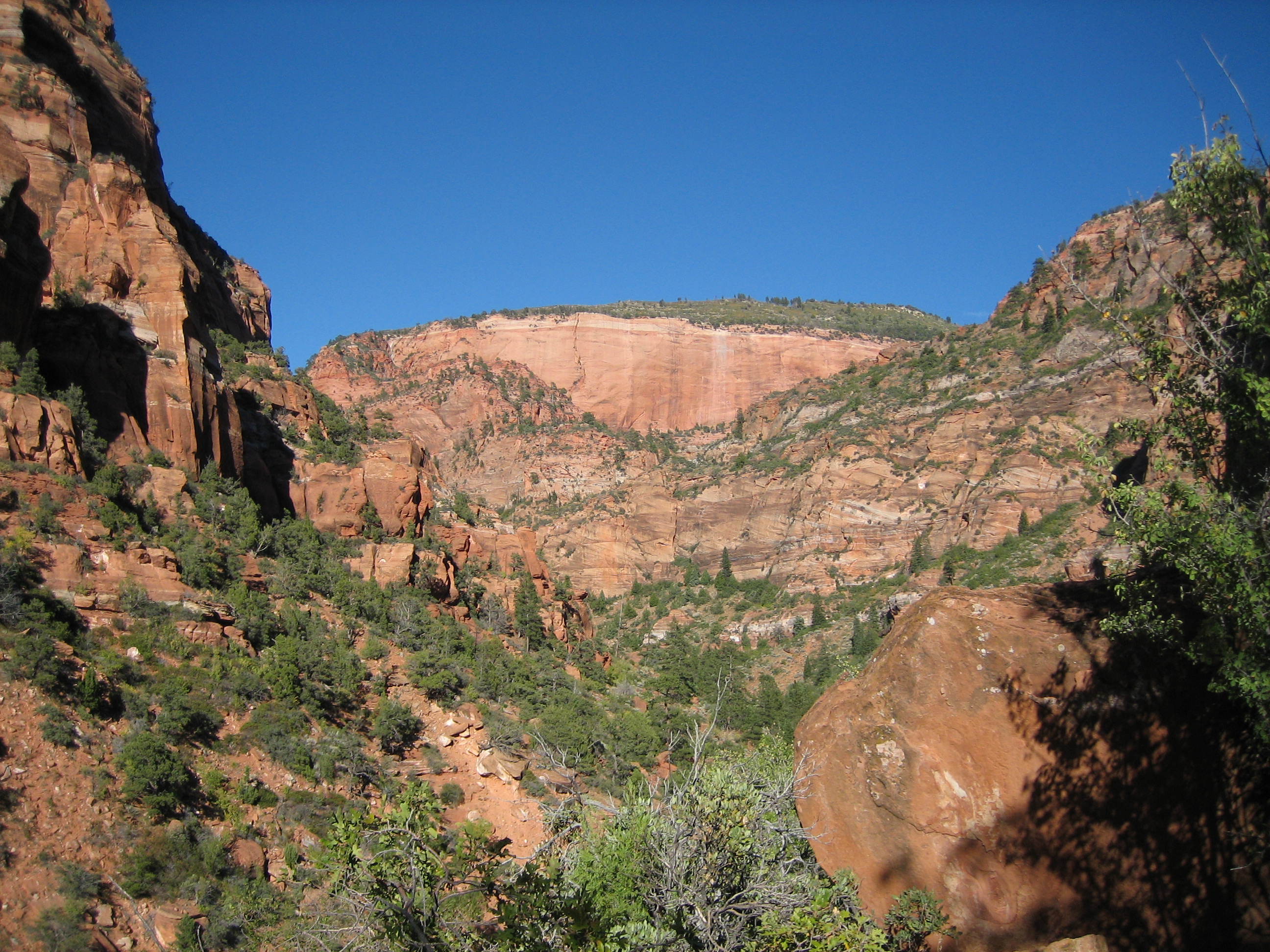
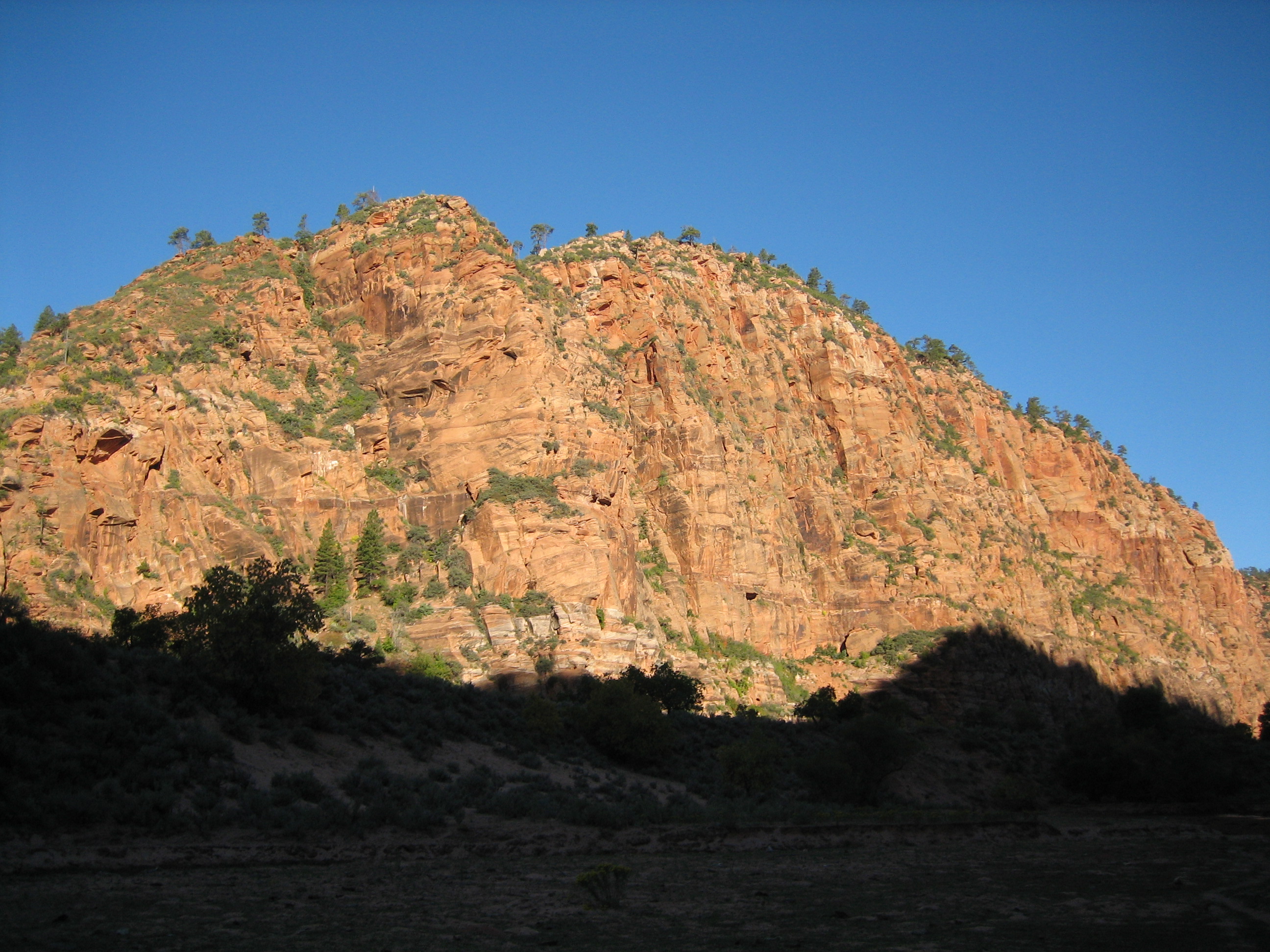
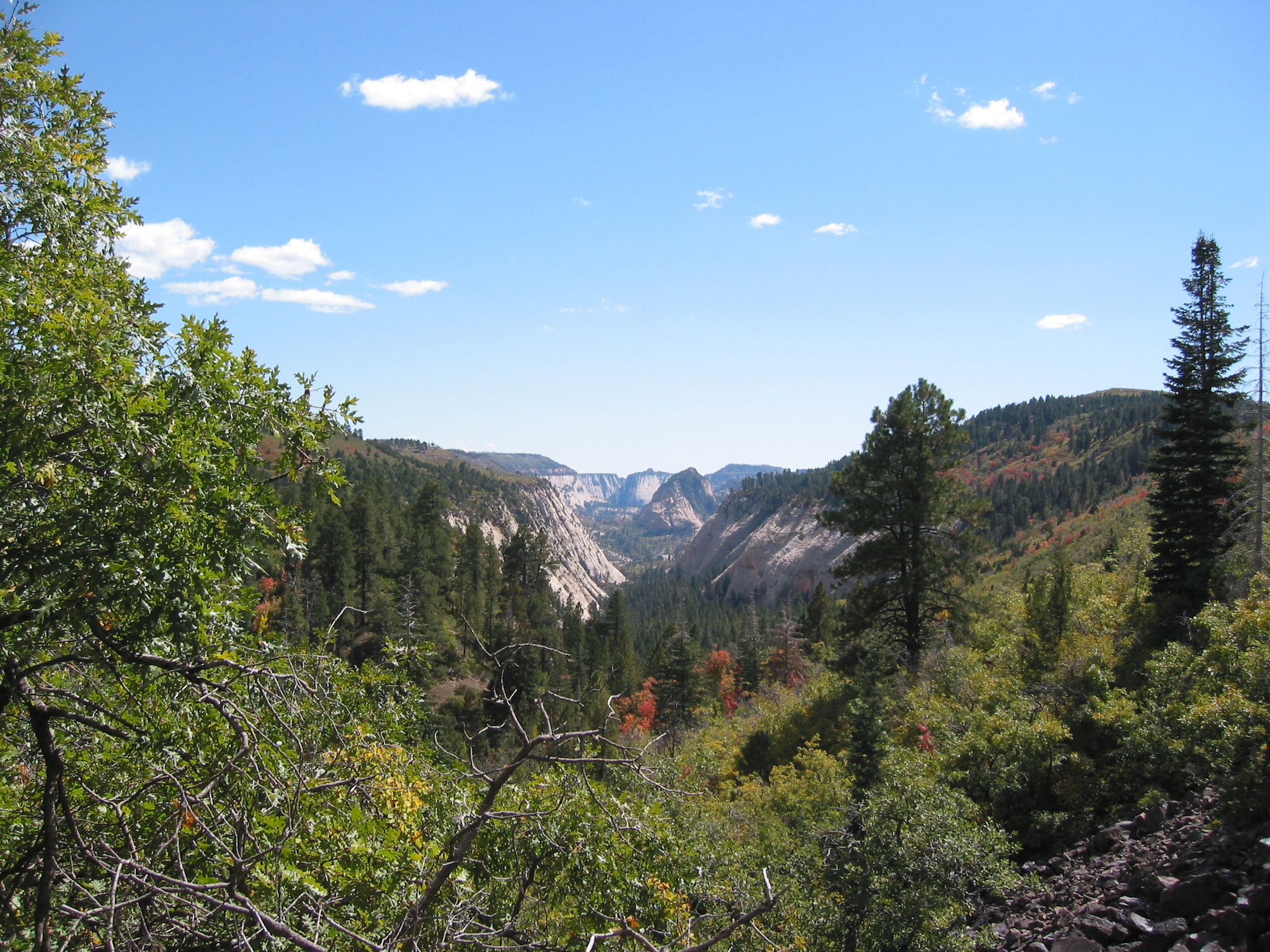
Now we are really getting into some nice scenery. Cliff walls all around us and Le Verkin Creek cutting through the valley.
Now we should be within a mile of our campsite, but due to some navigation problems we end up bushwhacking our way through a few miles of backcountry for about 90 minutes.
 but we find campsite #15 eventually, not too bad.
Only about 100 feet from the trail but it has the creek in the front and this view behind it.
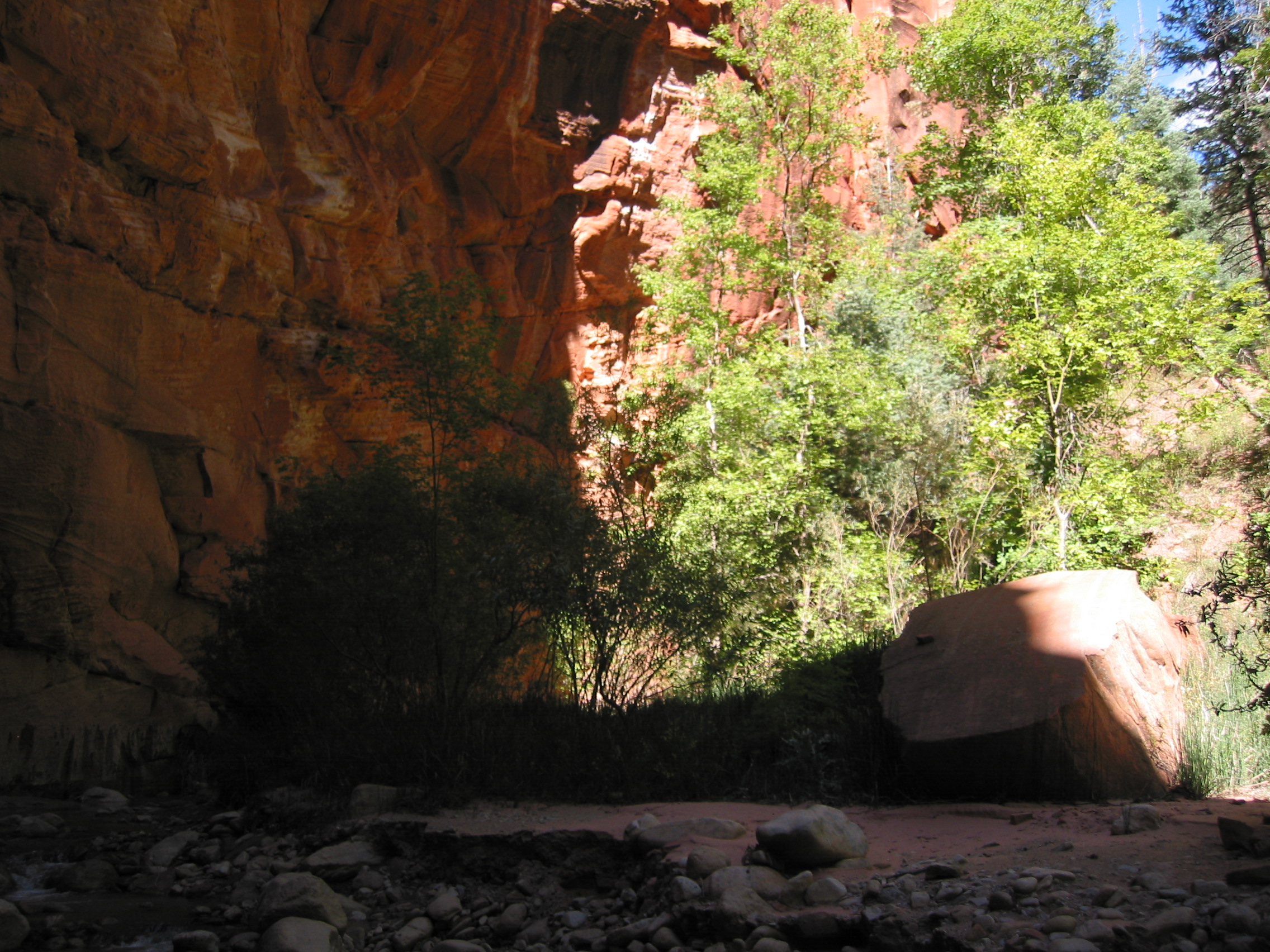
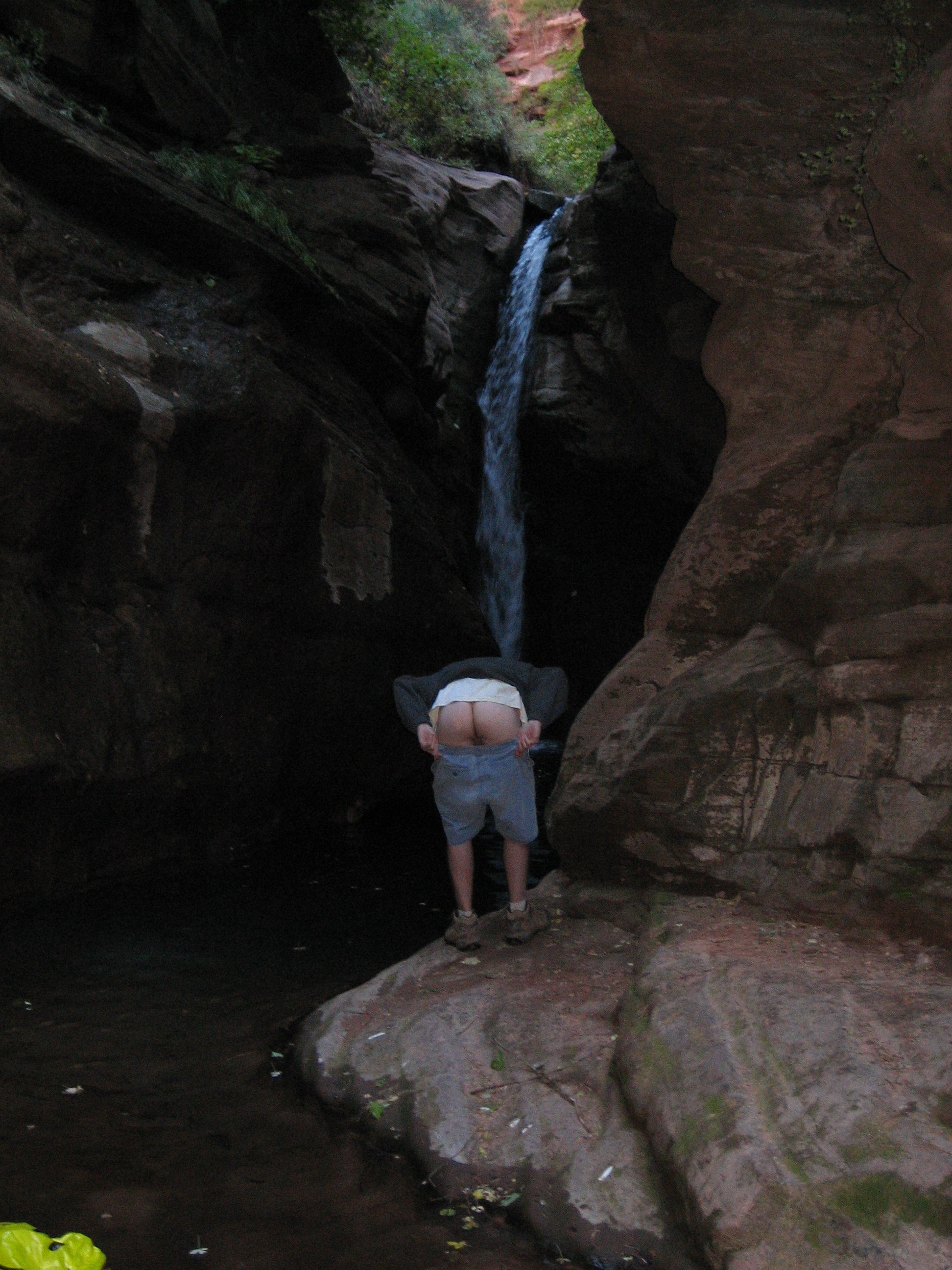
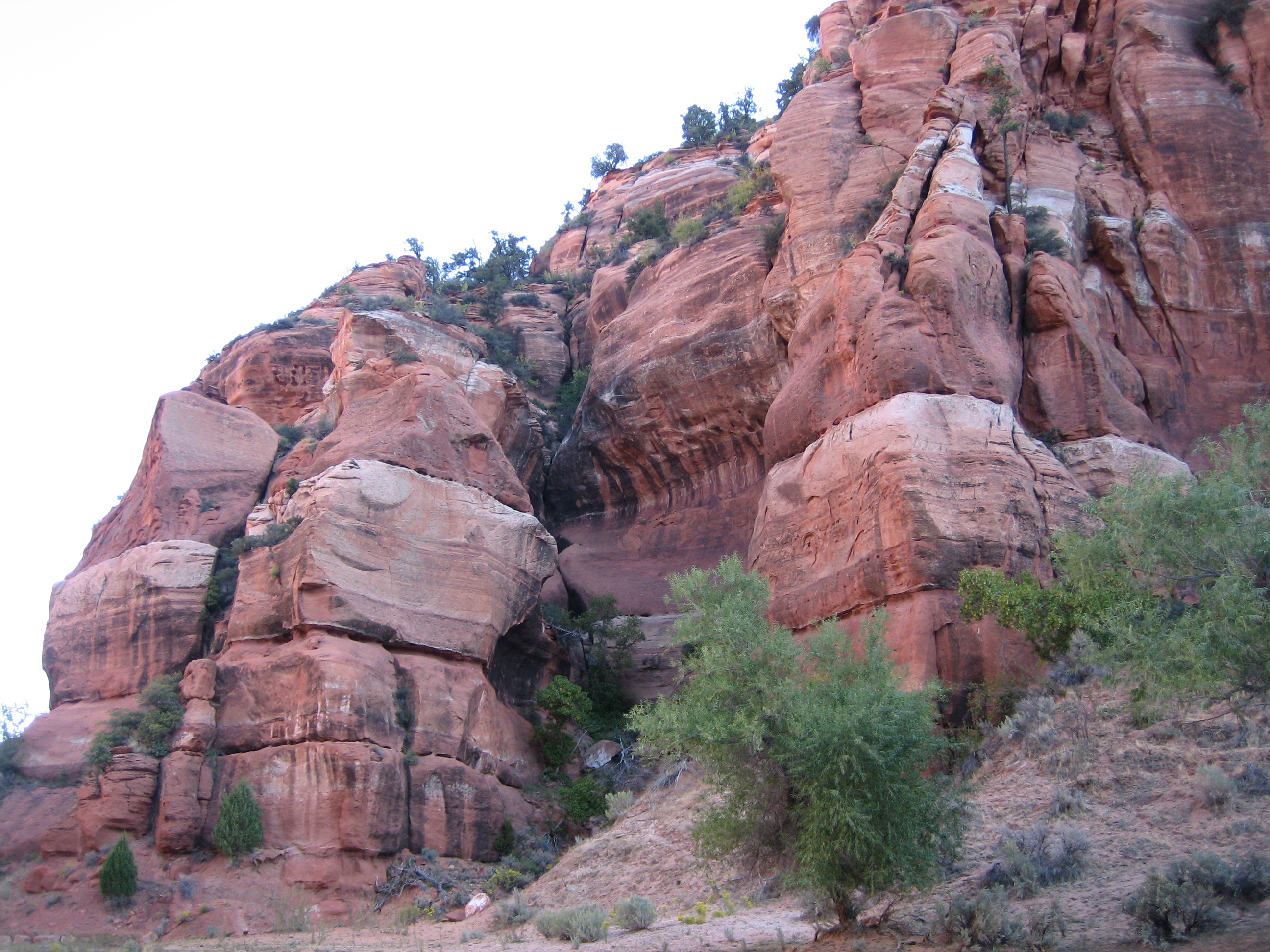
And it is only about 2 miles from Bear Trap Canyon, so we drop our packs and follow the creek up to the canyon

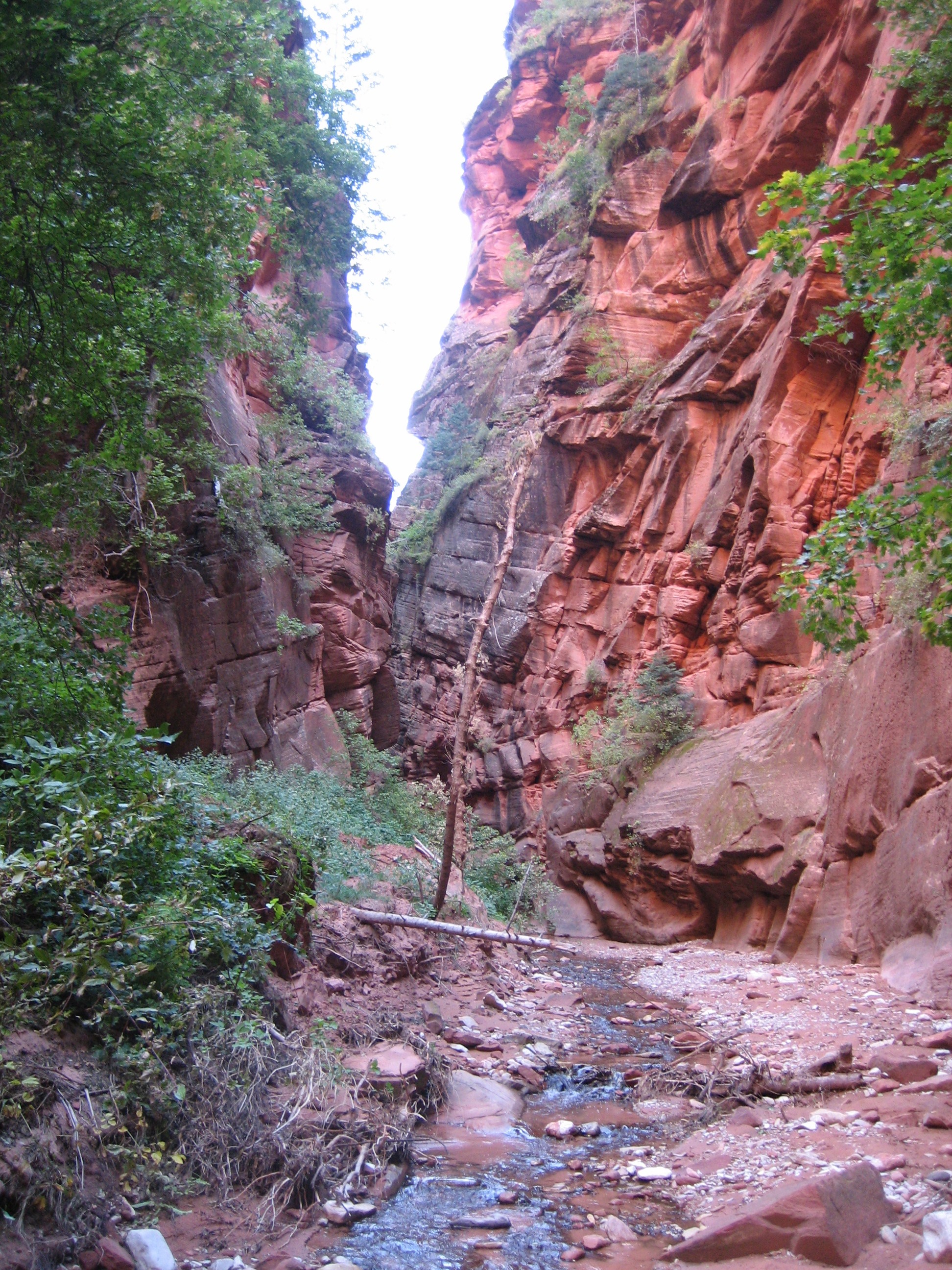
 the entrance to the canyon
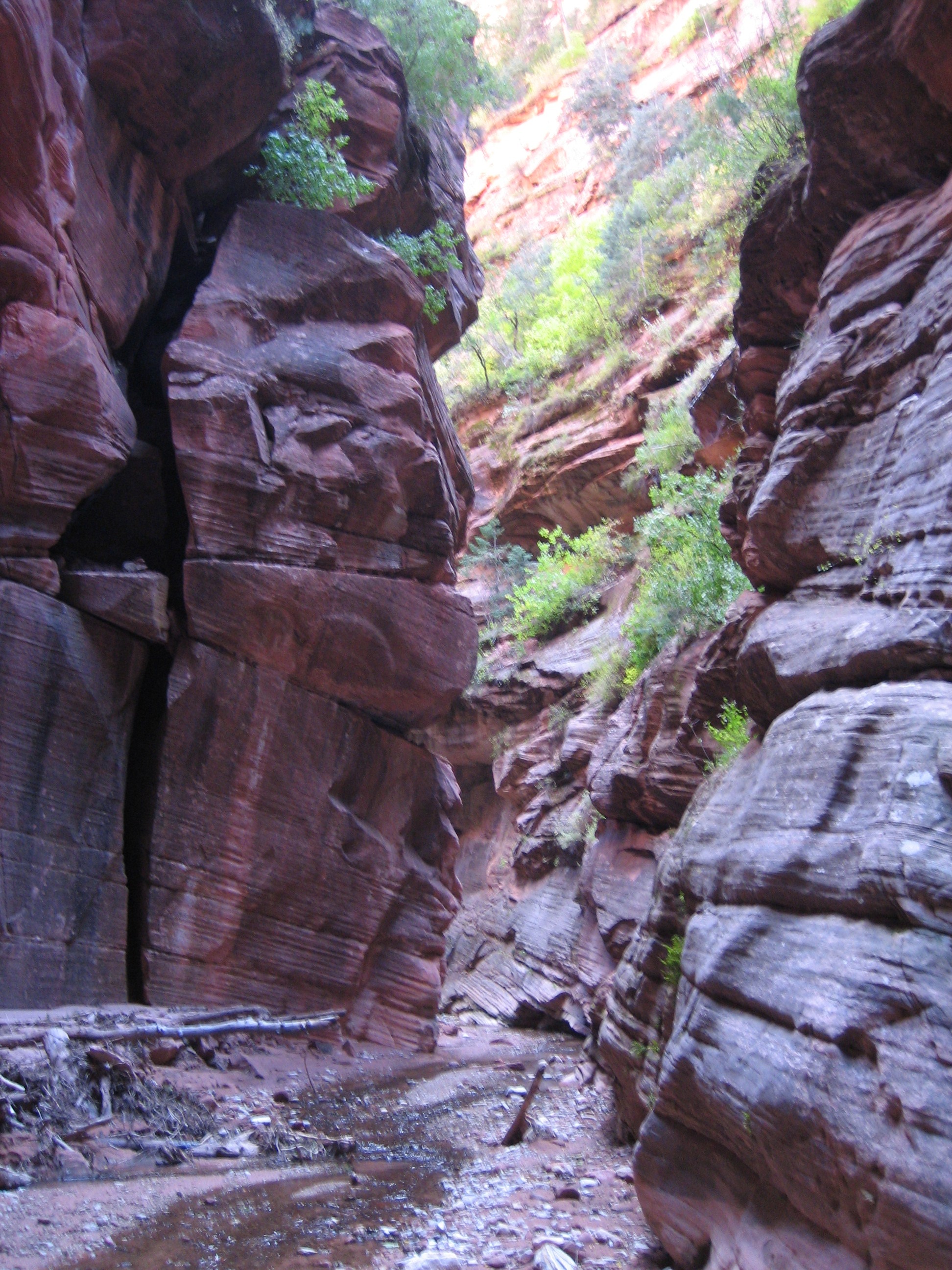
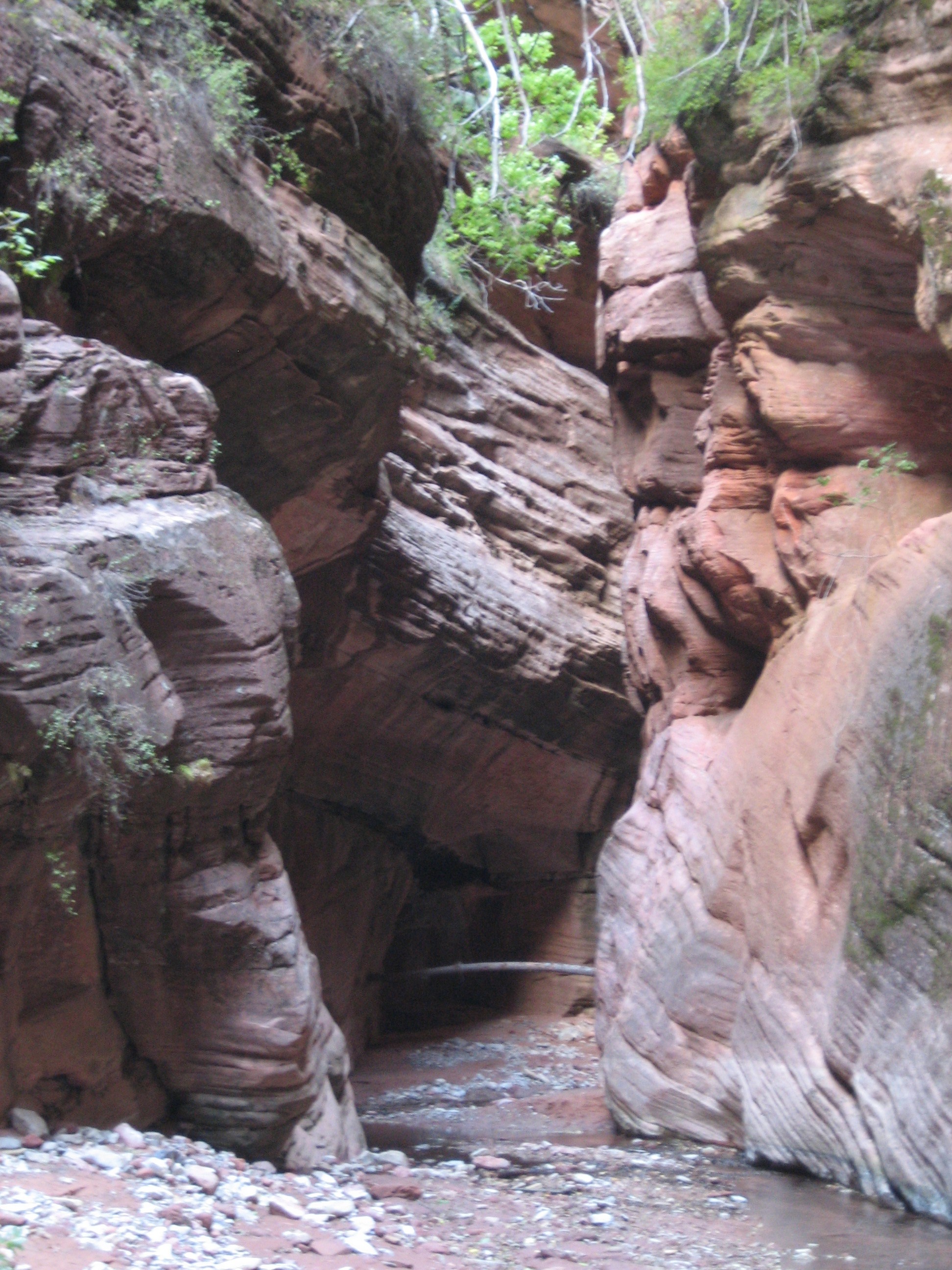
You can only go a few hundred yards into the canyon unless you wish to climb a waterfall to go farther, but it is still easily worth the walk.
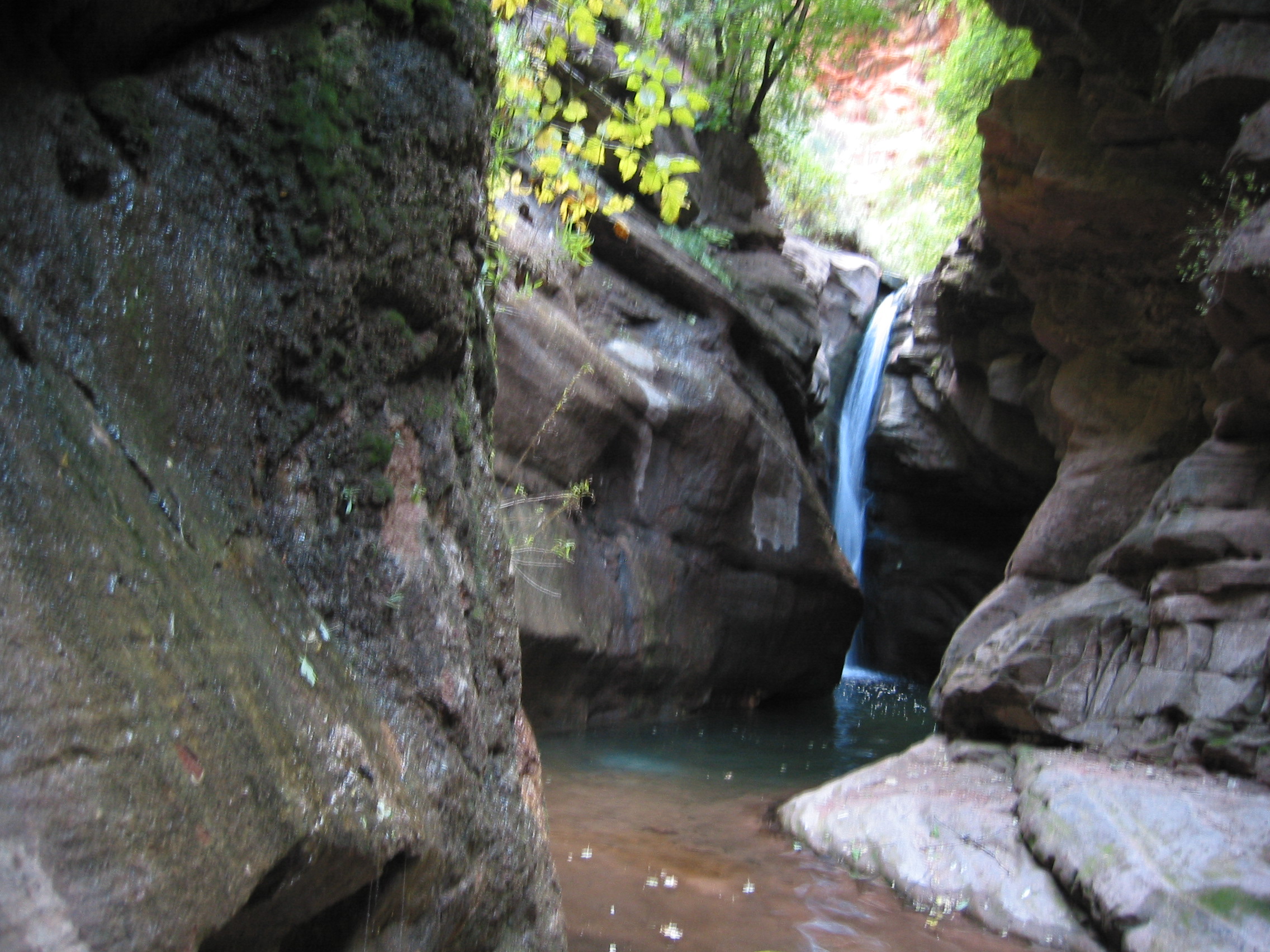


Awesome. Now I see what the fascination is with slot canyons, even smaller ones.
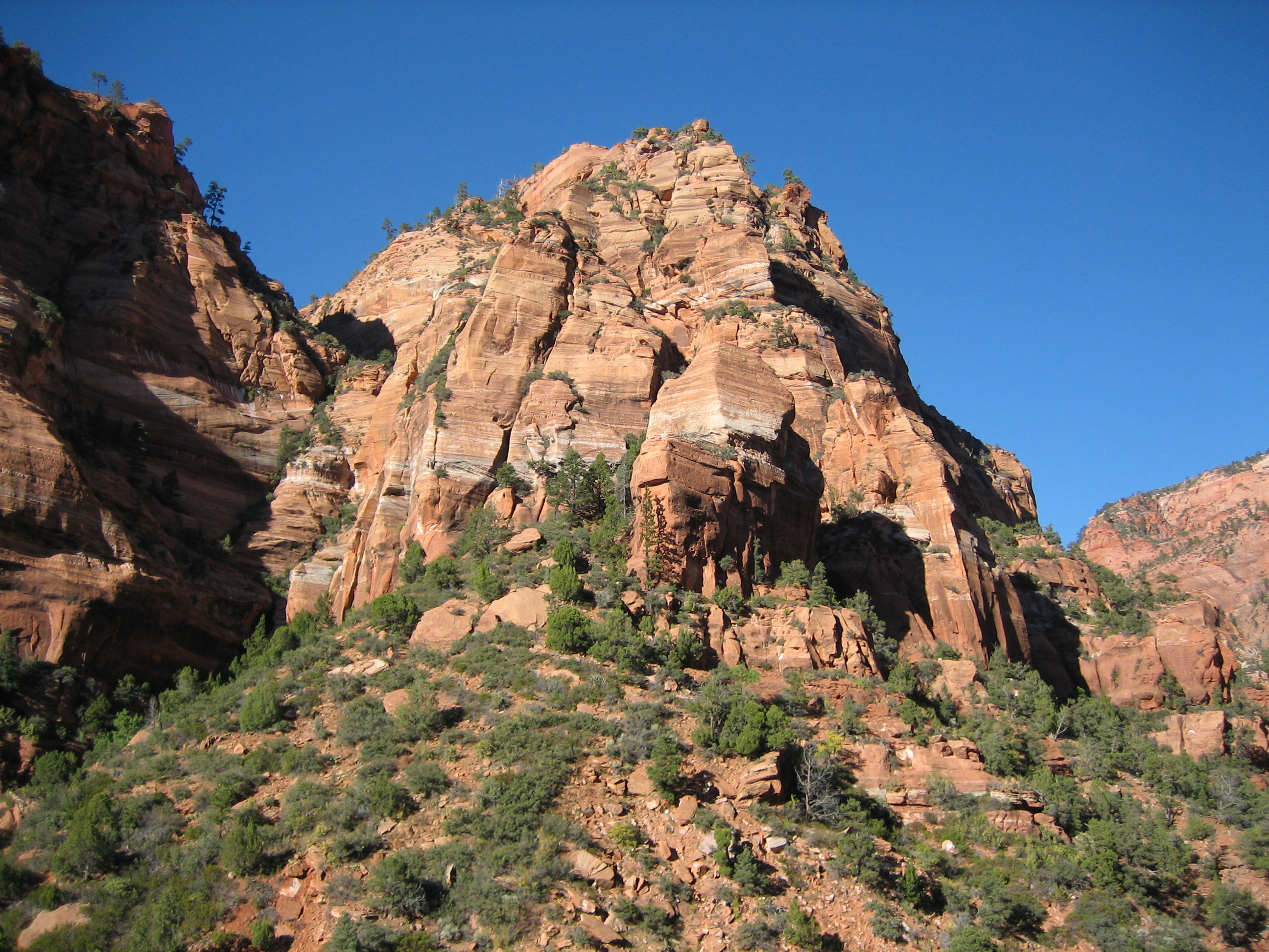
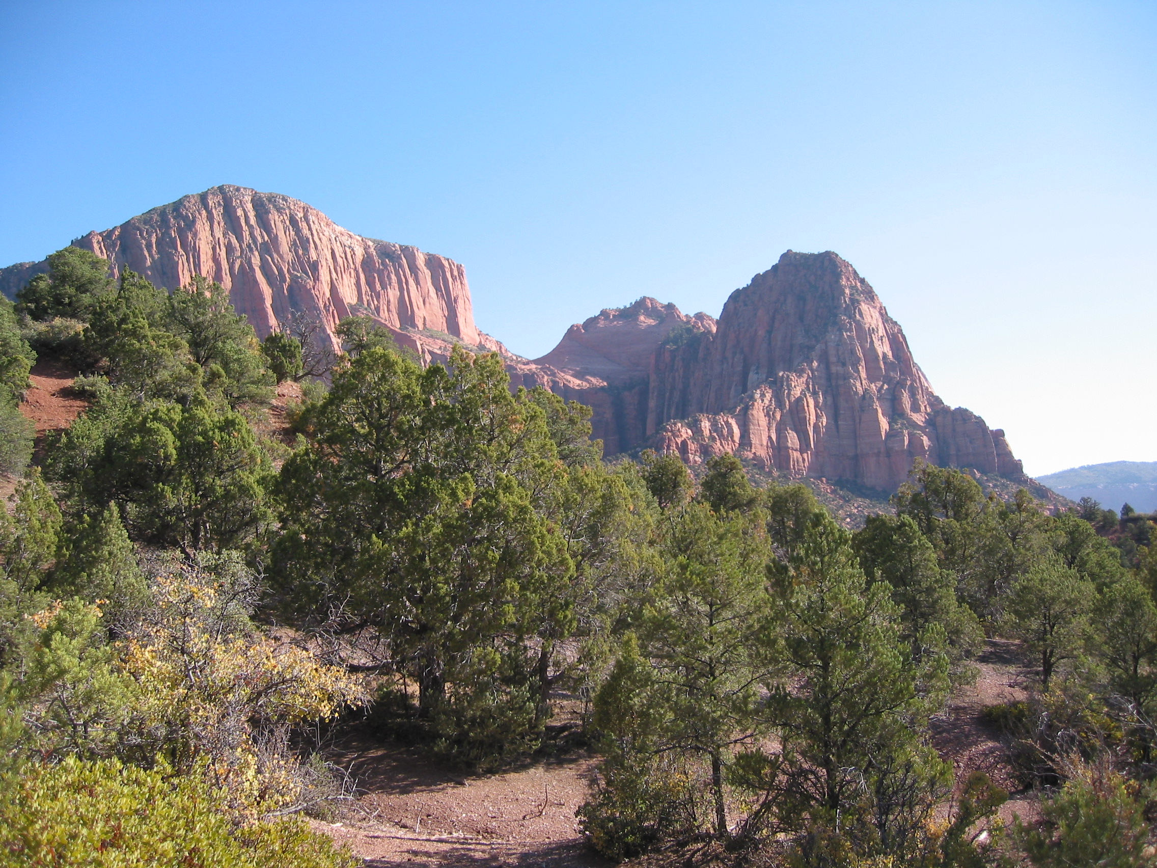
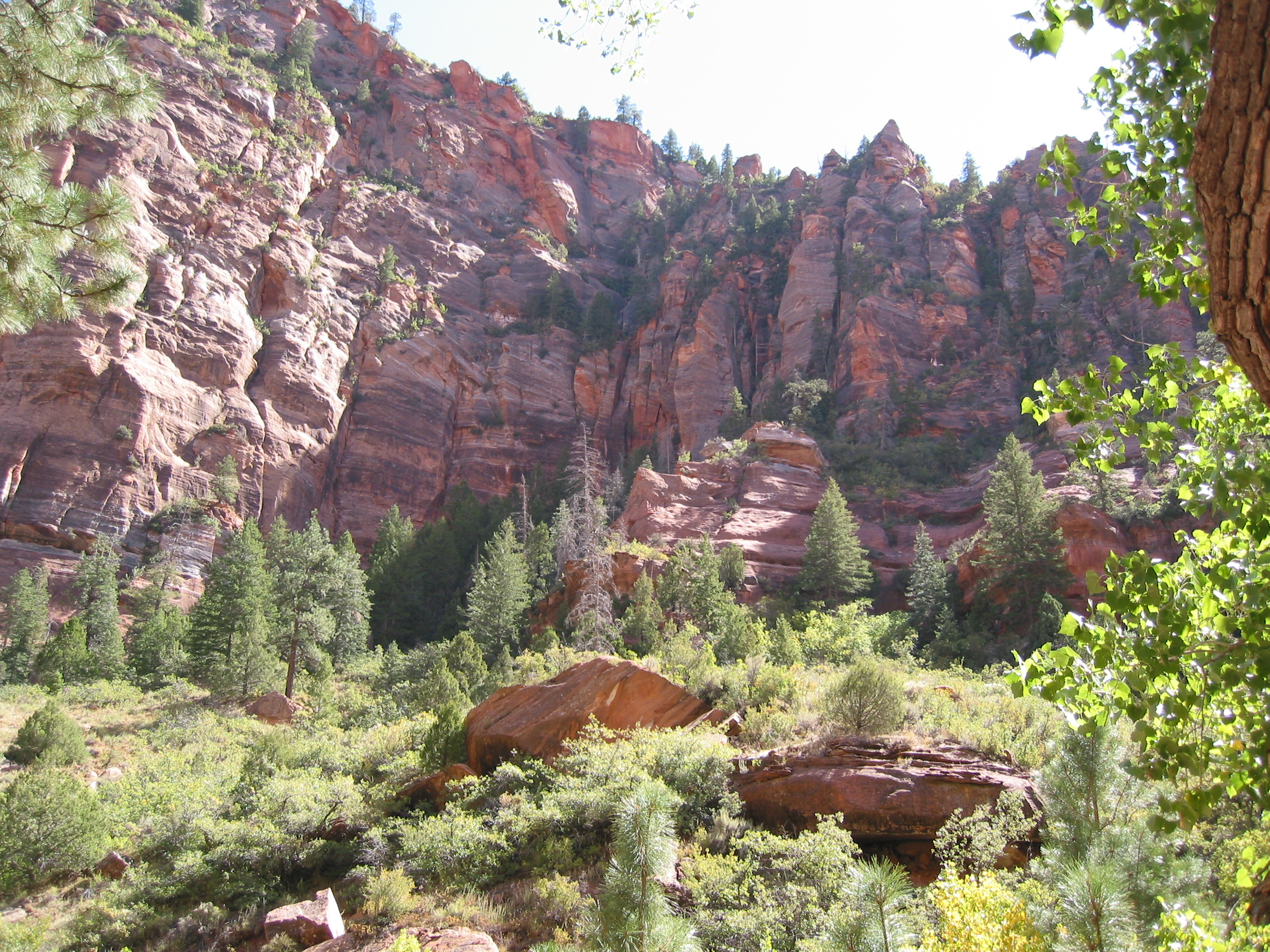
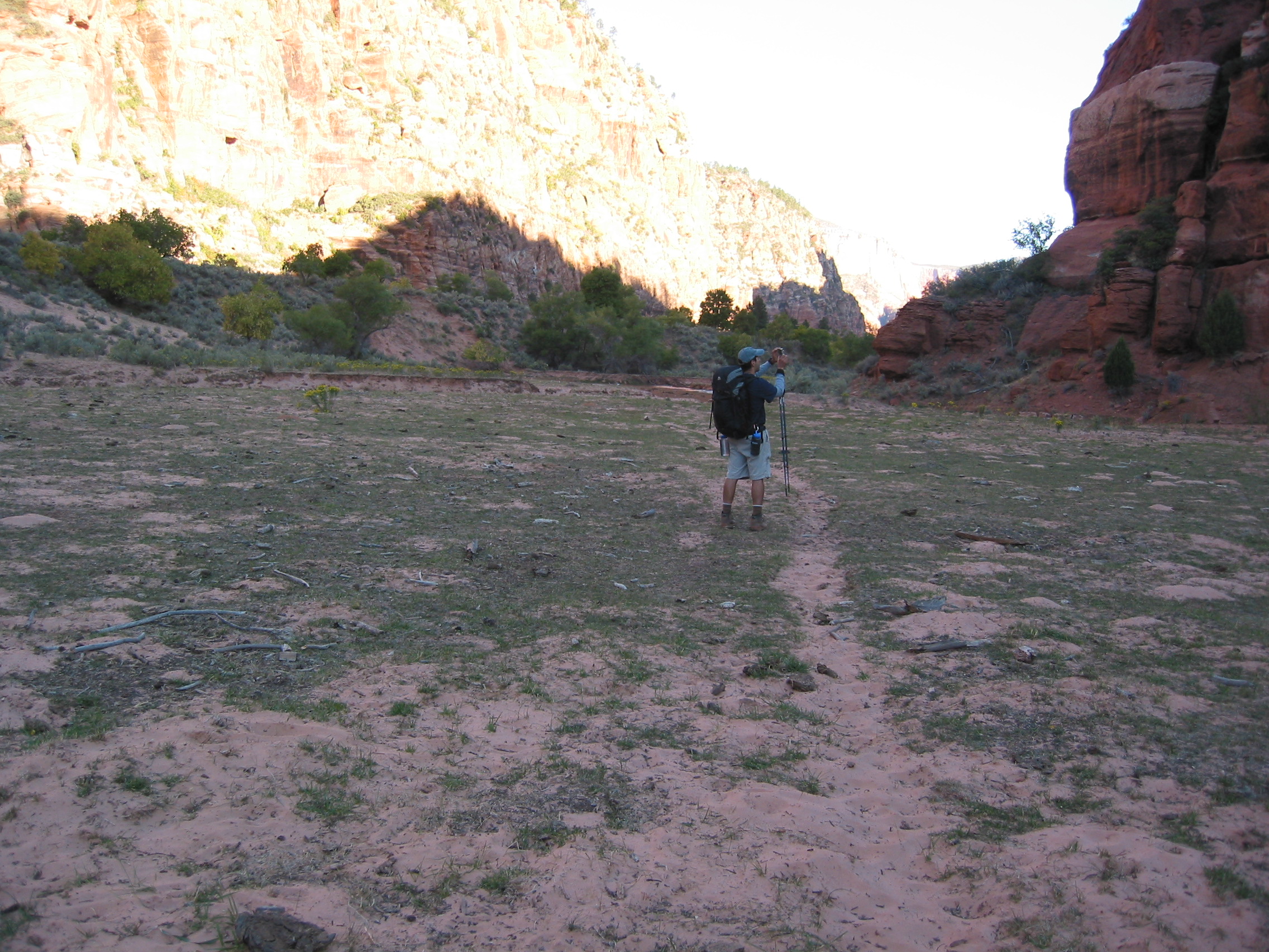
So we return to campsite #15 and continue to discuss whether we should hit the trail again today and knock out a portion of tomorrow's trail. Tomorrow was scheduled to be a long day and as luck would have it the day was longer than either of us would have imagined. We conclude that it is still early enough to get our packs on and make it to one of the sites on the Hop Valley Trail, about 3 miles south of us. It made for a long day, 15 miles including the side trips to Kolob Arch and Bear Trap Canyon, but it was made easier by the first mile of this section being a very steep uphill climb.
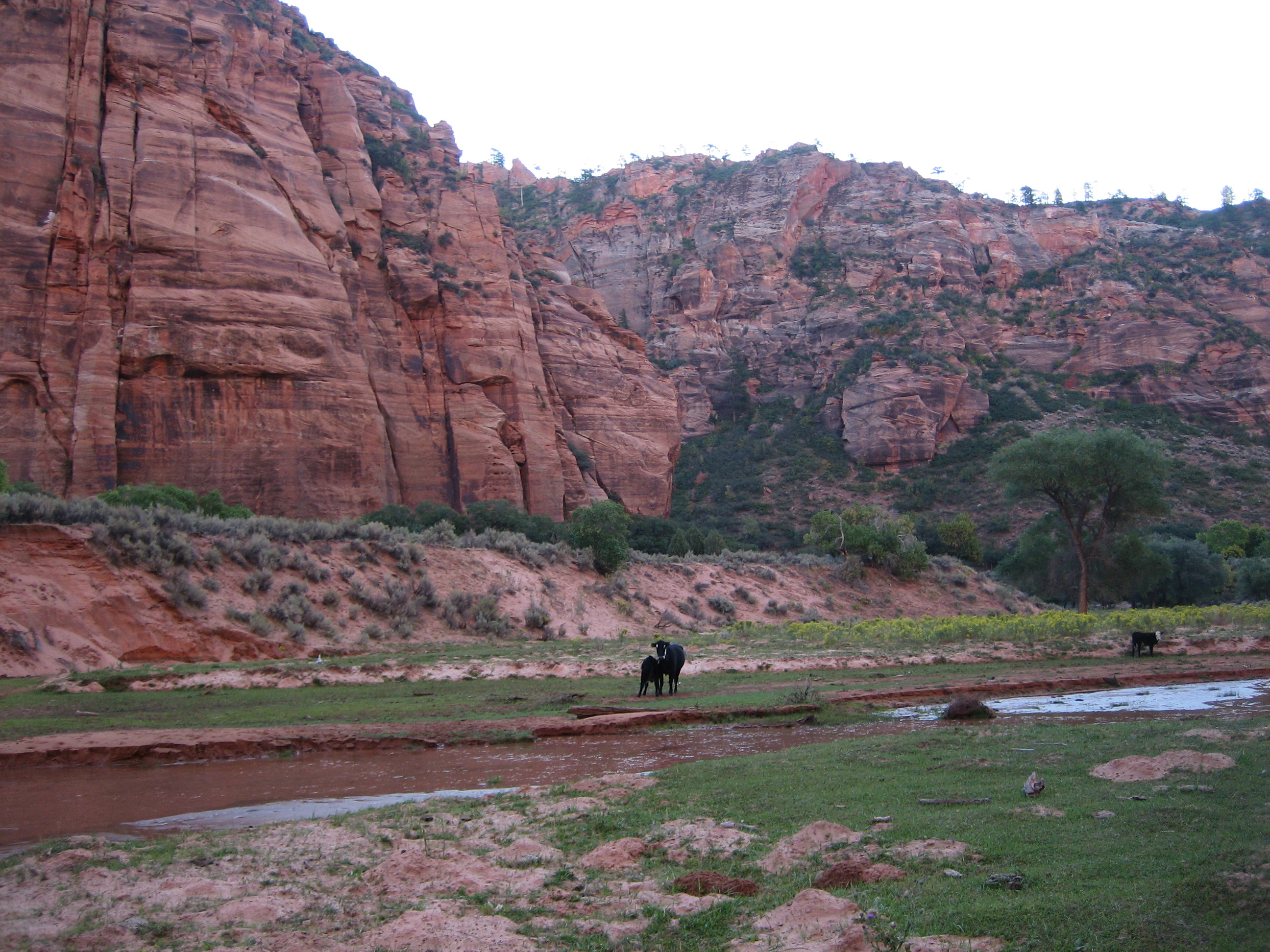
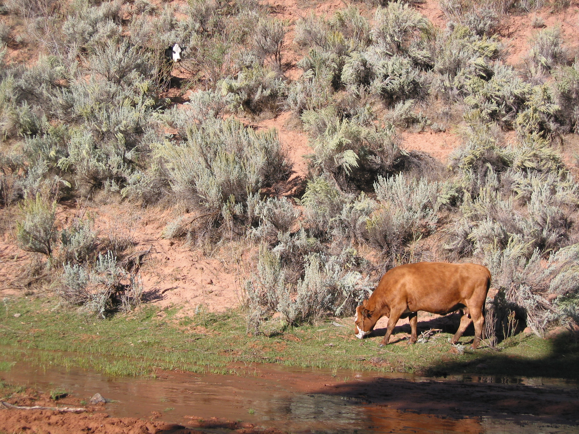
Luckily there was no one at any of the 3 sites, so we setup at the southern most one, campsite C. The camps in Hop Valley were not that great. Just areas between a few trees that are flat and can accommodate a tent or two. There were a few small rocks and a lot of larger cowpies. And the cows themselves were not happy that we decided to sleep there either, but once it started cooling down they walked off.
 the cows were standing here earlier, so we passed on the water
 told ya. they were fascinated with us.
 the sun trying to get into the valley
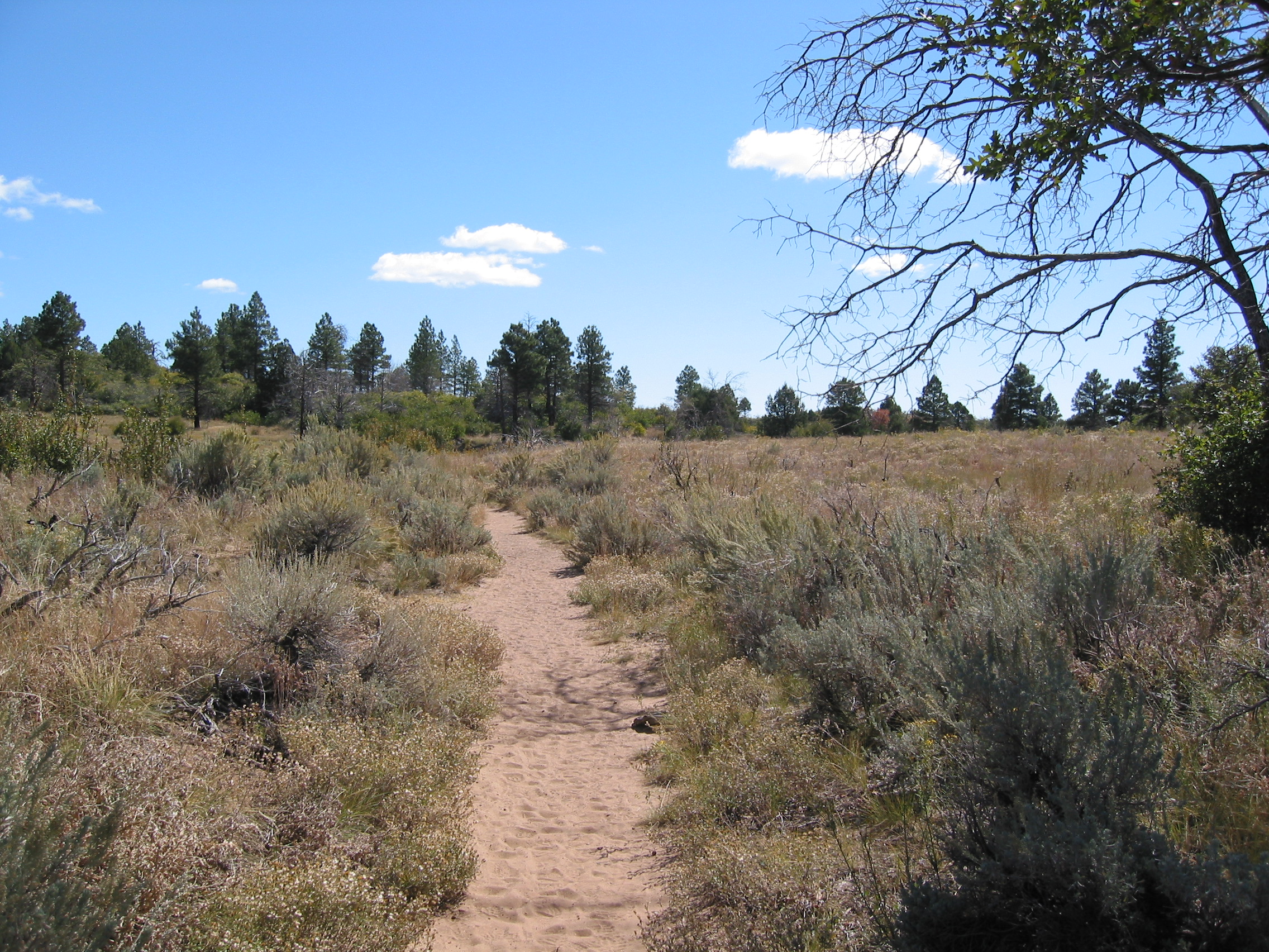
 this was as good as the trail got for the first few miles.
More often there was no trail and you just walked south.
 2 cows - eet Mor Chiken
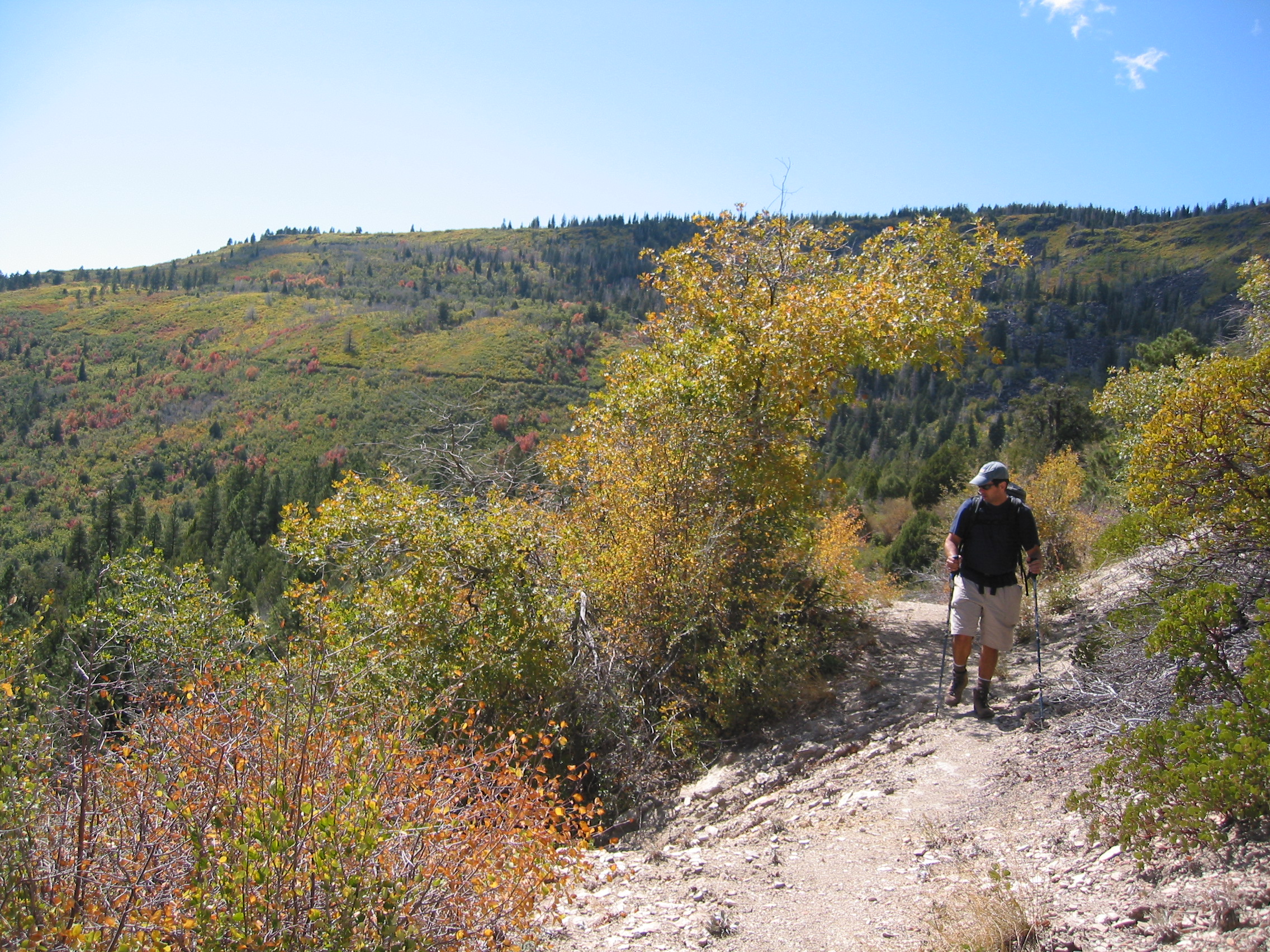 the trail gets a little better
 as do the views
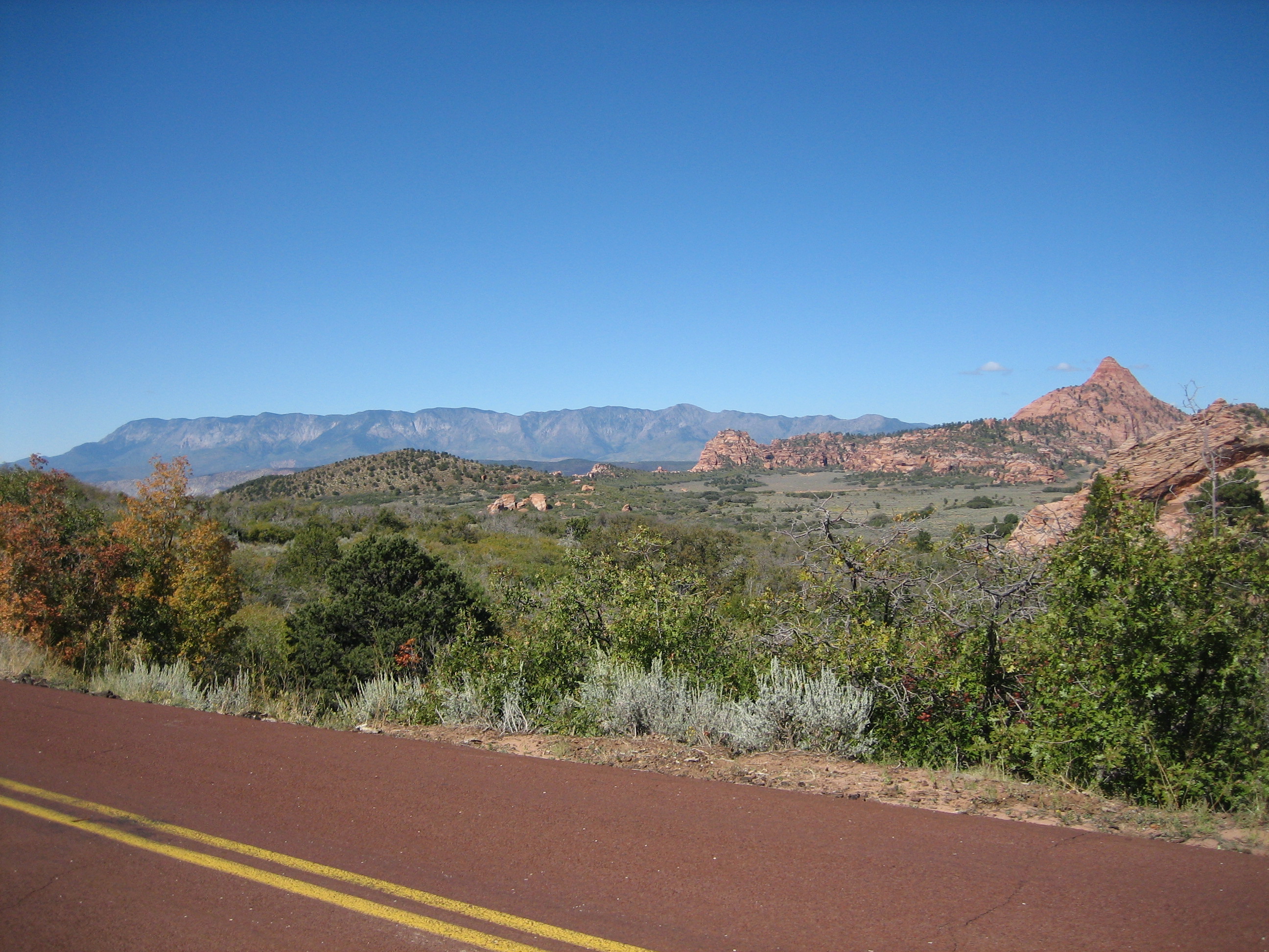
 looking north to Hop Valley
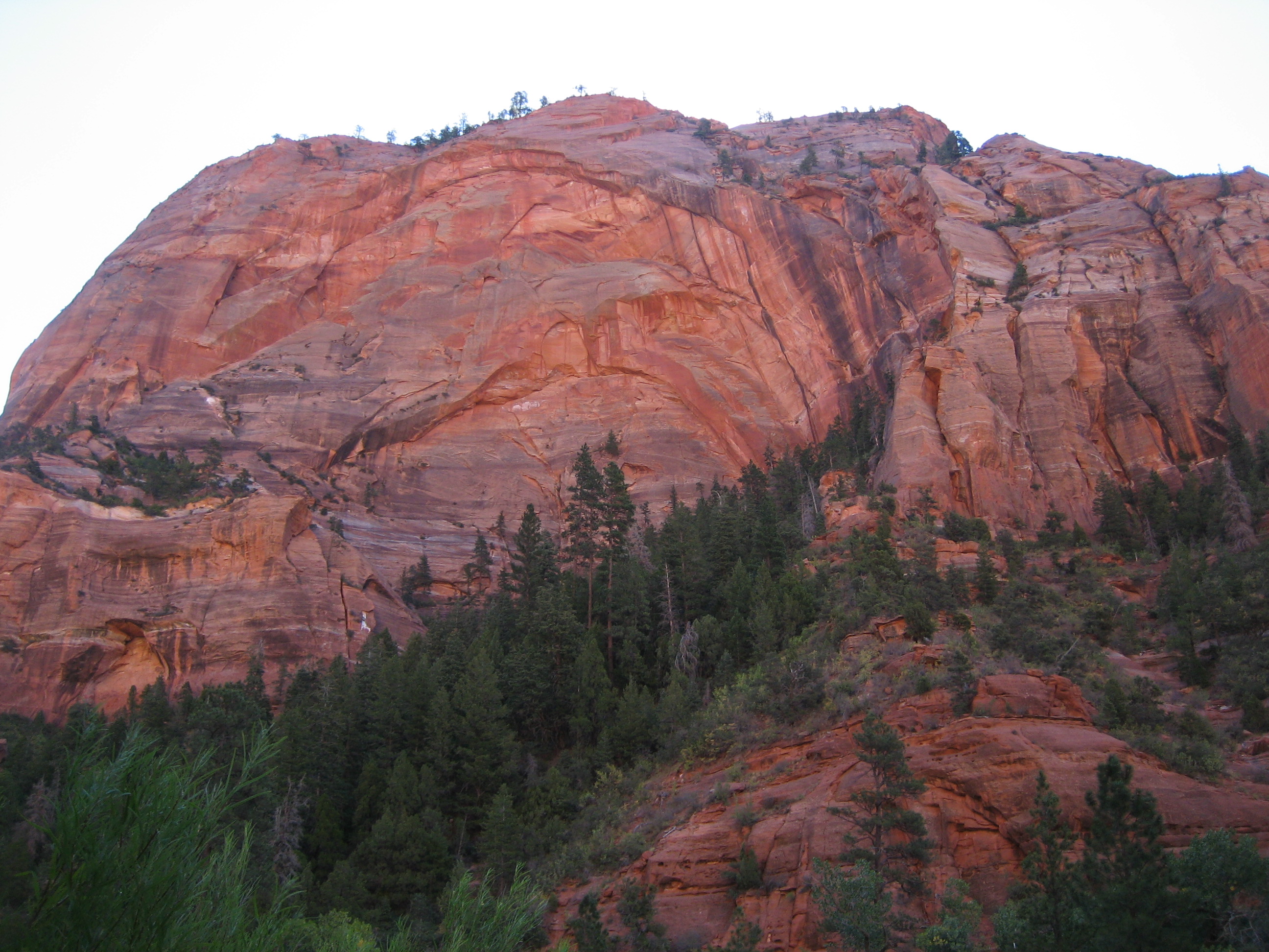
After 5 miles or so, we get to Kolob Terrace Rd and the trailhead where we talk to a rookie ranger. Here we make the decision to walk the road instead of the connector trail to Wildcat Canyon. We did this because we still had about 5 miles to get to the open camping area of the canyon, where we were to camp the night and thought the road would be faster and offered the possibility of catching a ride if we were lucky. And lucky for us we let the ranger leave 10 minutes before making this decision, brilliant! But we caught a ride to Wildcat Canyon Trailhead in the bed of a pickup after walking for 30 minutes or so. From the trailhead we still had 1.5 miles to get in to the open camping area. The trailhead was packed with cars belonging to people experiencing The Subway. We hit the trail after a bathroom stop and began looking for this alleged open camping. It was getting late and I was getting tired, but I never really saw anywhere to camp. For most of the trail nothing existed on the south side but a sheer drop and a lot of the north side was just as steep only going up. So we lowered our heads and made it to the trail junction with the West Rim Trail. Here we had two choices, we could go north, which is the opposite direction of our final destination, to Lava Point and pray there was a campsite there or we could go south and hope that campsite #9 was not taken. Those were the only options within a mile of where we were and both required luck. We took our shot at one of the 6 sites at Lava Point being available because camp #9 was all or nothing, the next campsite after that was about 5 miles farther south and could also be taken for the night. By now we are exhausted and of course the hike to Lava Point is all uphill because it is the highest point in Zion NP, again brilliant! All the prayers were answered and after hiking about 11 miles, too many of those in sand, we made it to Lava Point and collapsed in site #3.

 deer in the camp
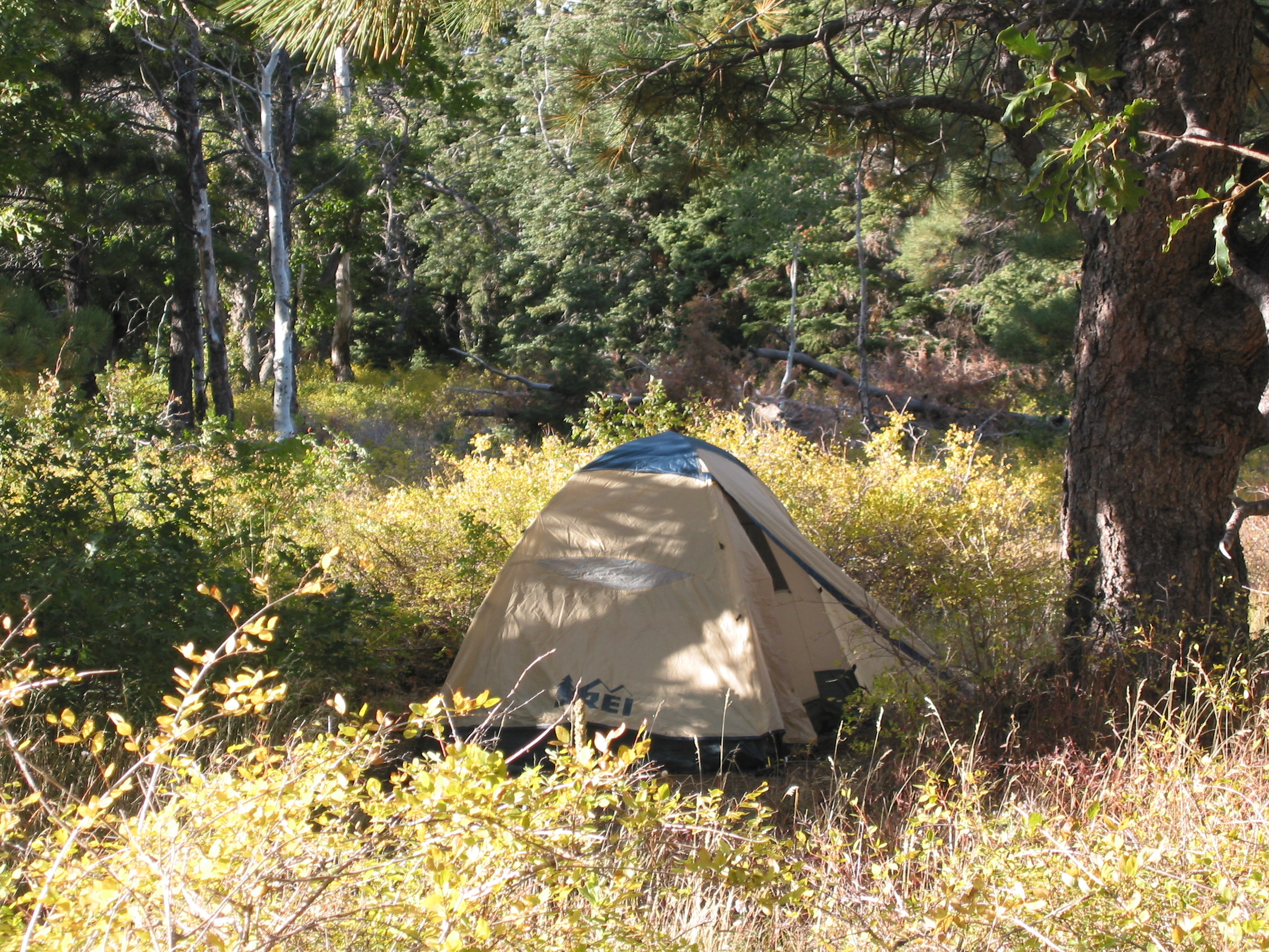 deer behind the tent
Both of us slept well that night! Tomorrow would be The West Rim Trail and trip into Zion Canyon - basically THE reason we decided to come to Zion NP.
![]()