Maroon Bells - July 2007
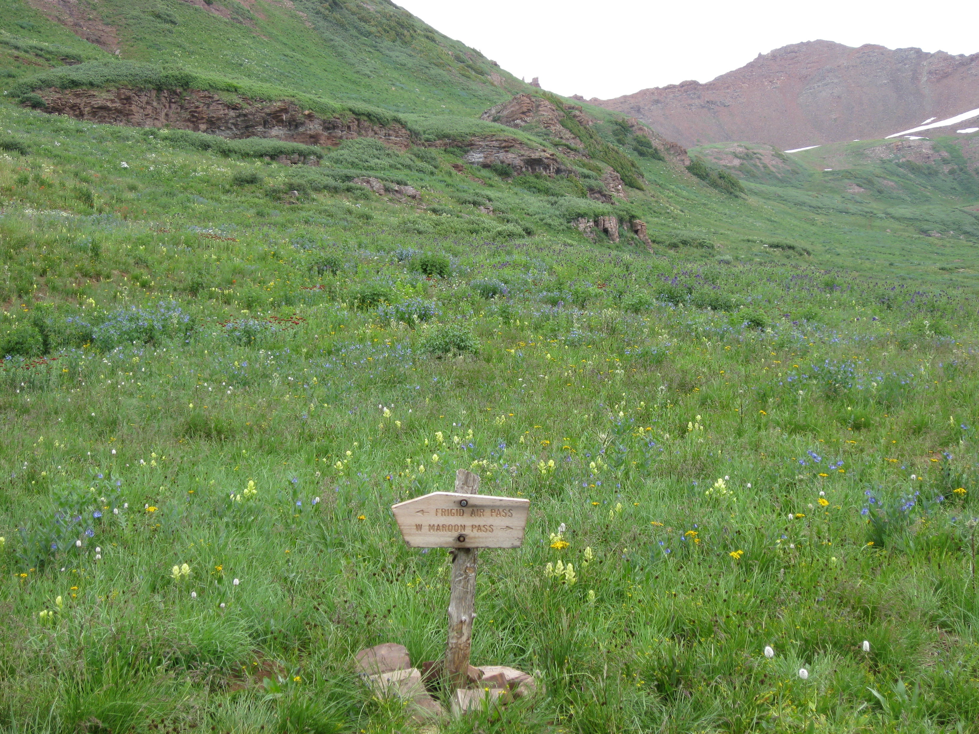
Four Pass Loop Trail
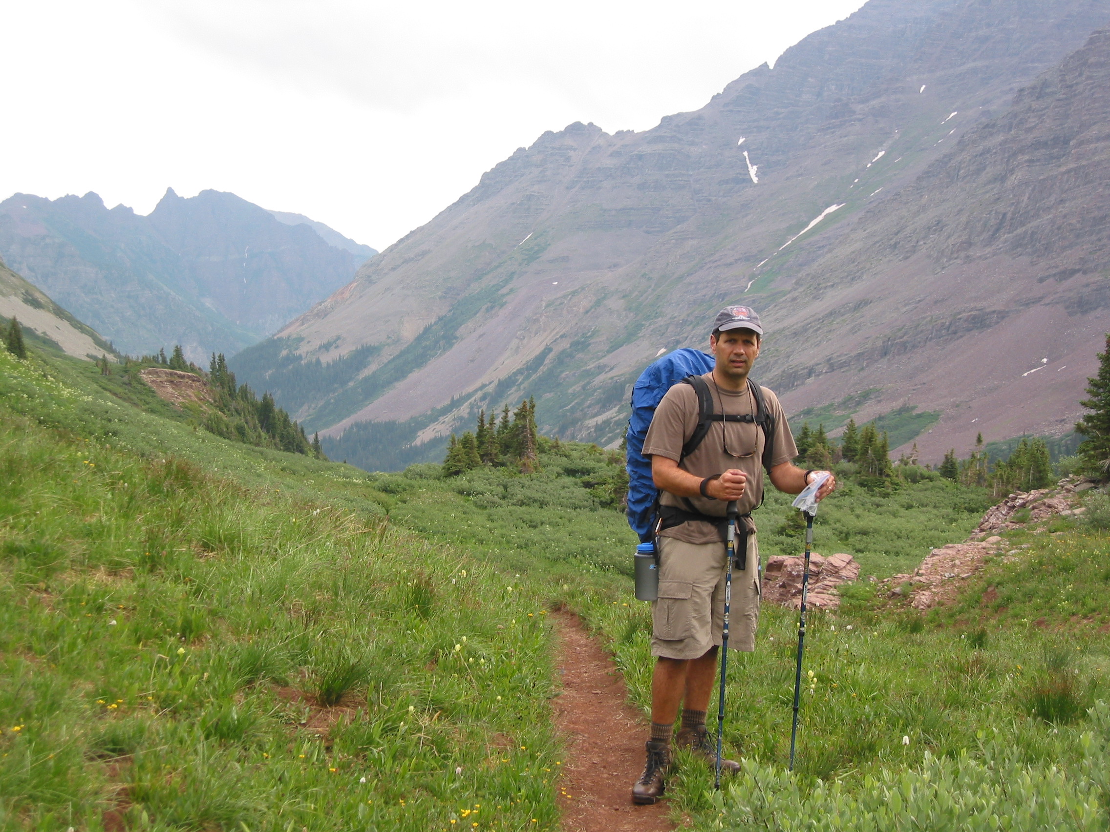
The week after Independence Day Paul and I went out to The Maroon Bells in Snowmass Wilderness to experience the Four Pass Loop. It was a beautiful area, between Snowmass Village and Aspen. The Four Pass Loop Trail is a 28-mile route that starts at 9,580 ft above sea level and crosses four mountain passes, all over 12,400 ft. The entire trip is in the White River National Forest in the Elk Range in Colorado. There are several 14-ers reachable from trails we were traveling, but we did not attempt climbing any, but saw some people attempting to summit and talked to a few that had already done one or more. Because of the certainty of early afternoon thunderstorms, most people begin their climbing well before sunrise.
Paul went out a couple of days before me, so I shipped my pack out early to make my flight in simpler by avoiding the baggage check. Then Paul had to drag it a couple of blocks through downtown Boulder at midnight. Well, it made my day simpler anyway.
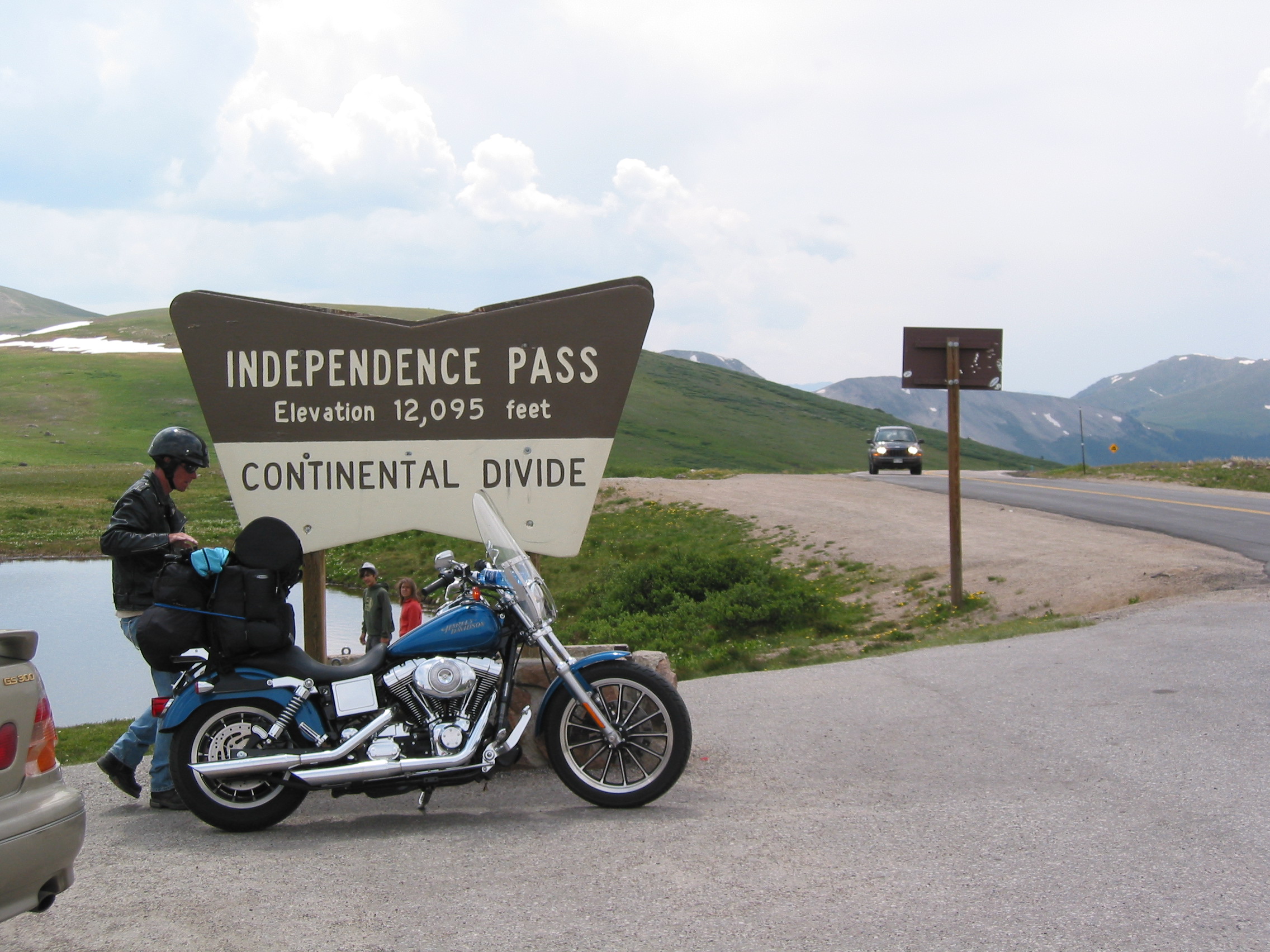
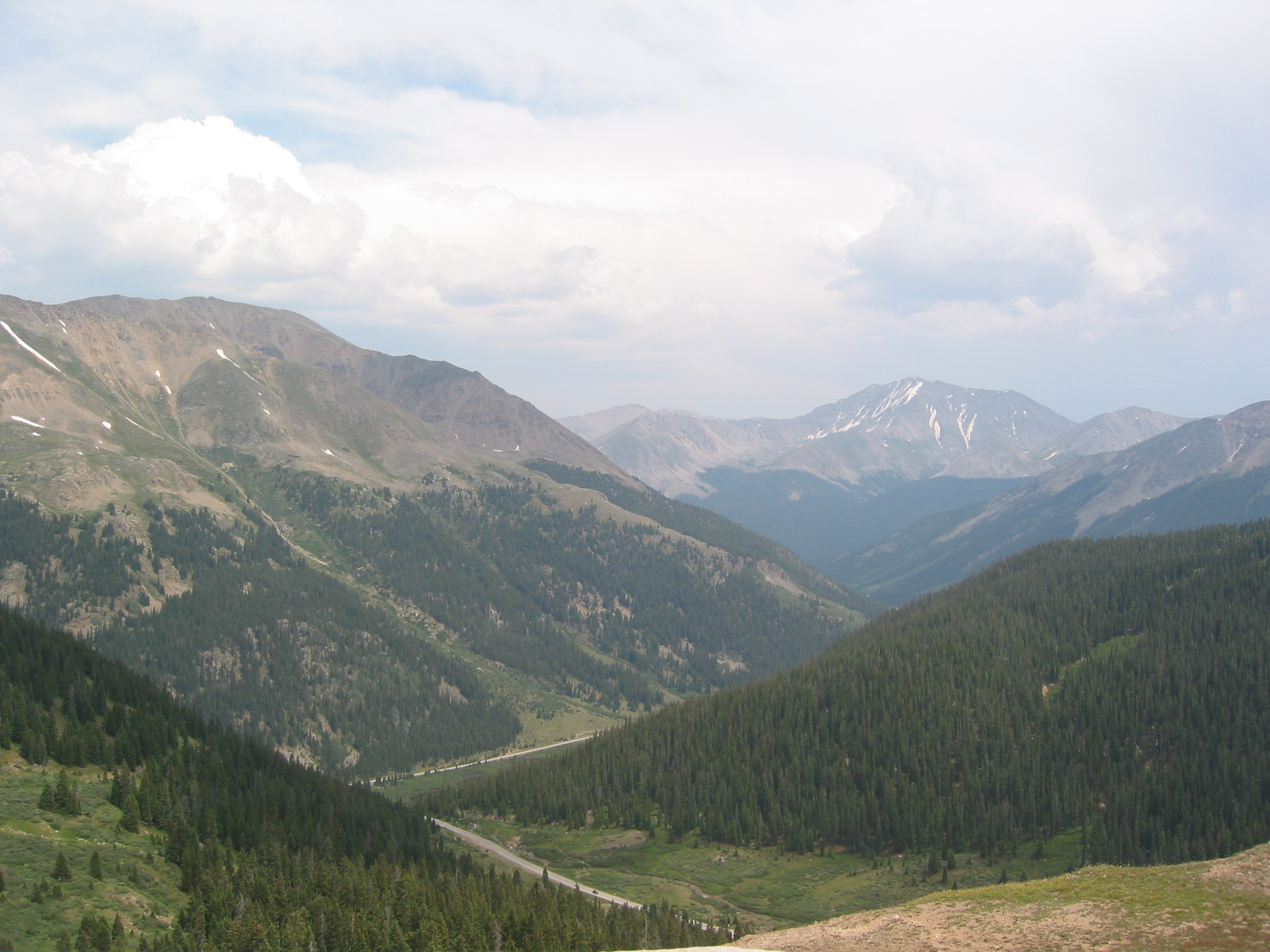
From the airport in Denver, we took the scenic route to the trailhead. Through Aspen so that we could see Independence Pass. At 12,095 ft, it was pretty impressive to a flatlander like myself. The temps were pretty cool here compared to the mid 90's I'd experienced every day prior back at home.
Next, to Aspen and the ranger station, where we ask a clueless girl about a permit station and she just stares at us until we leave...
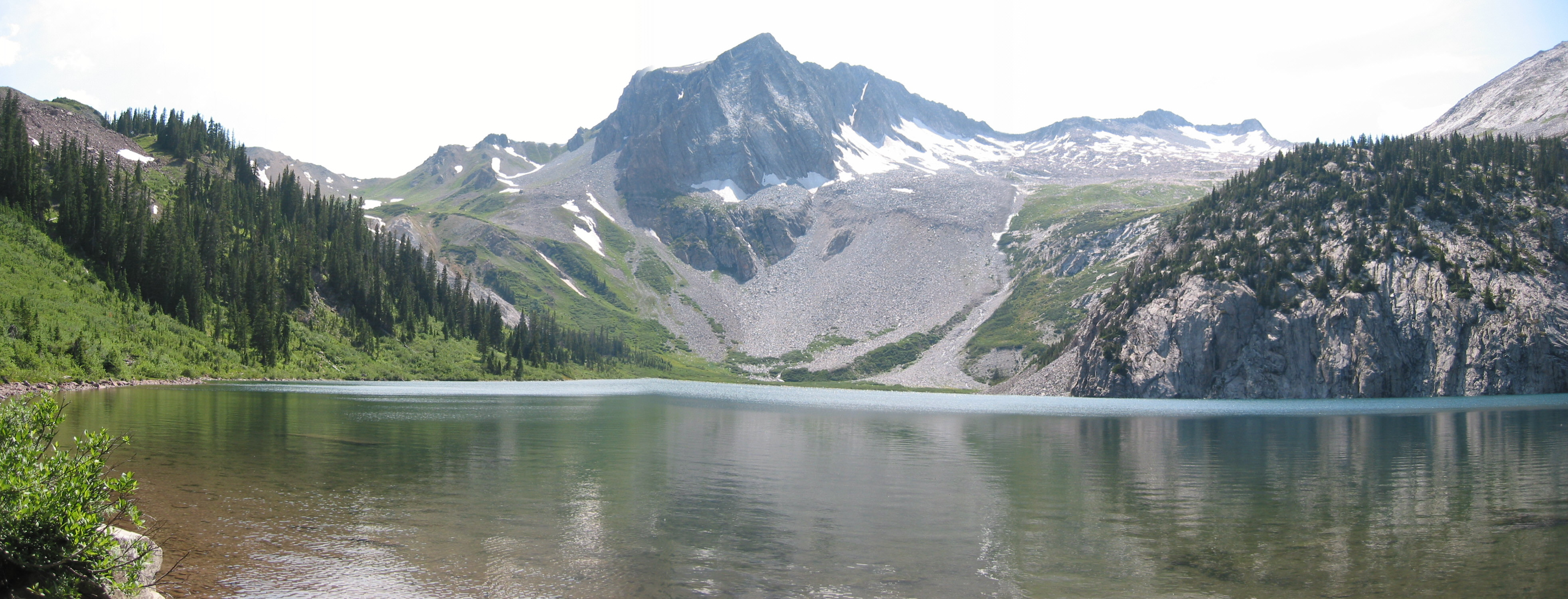
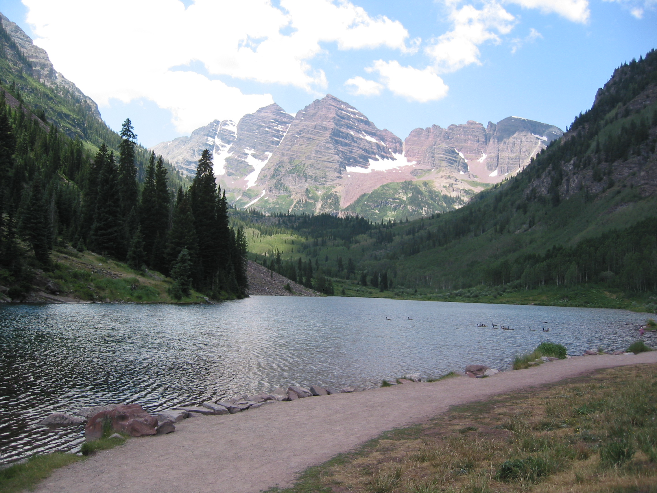
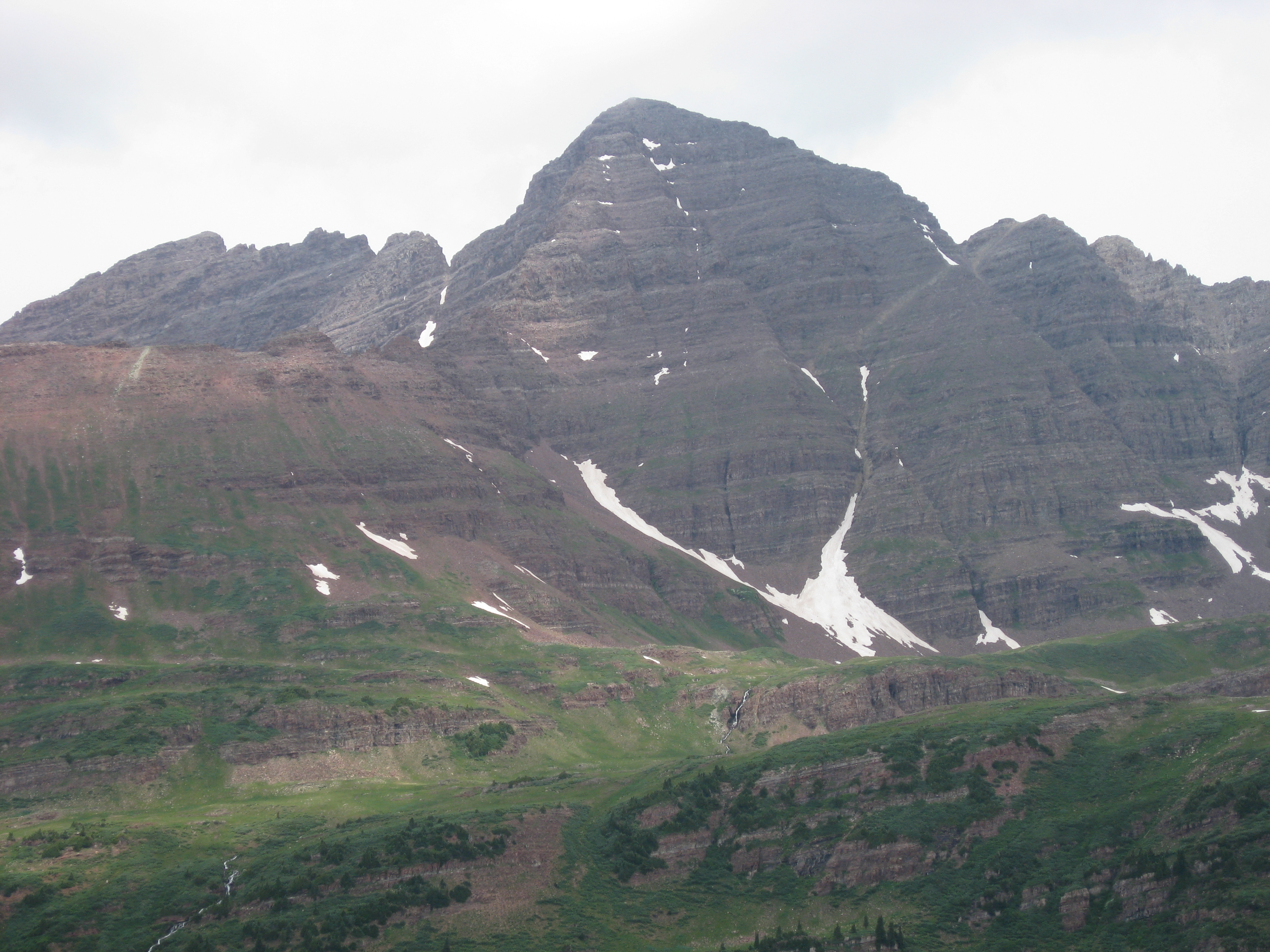
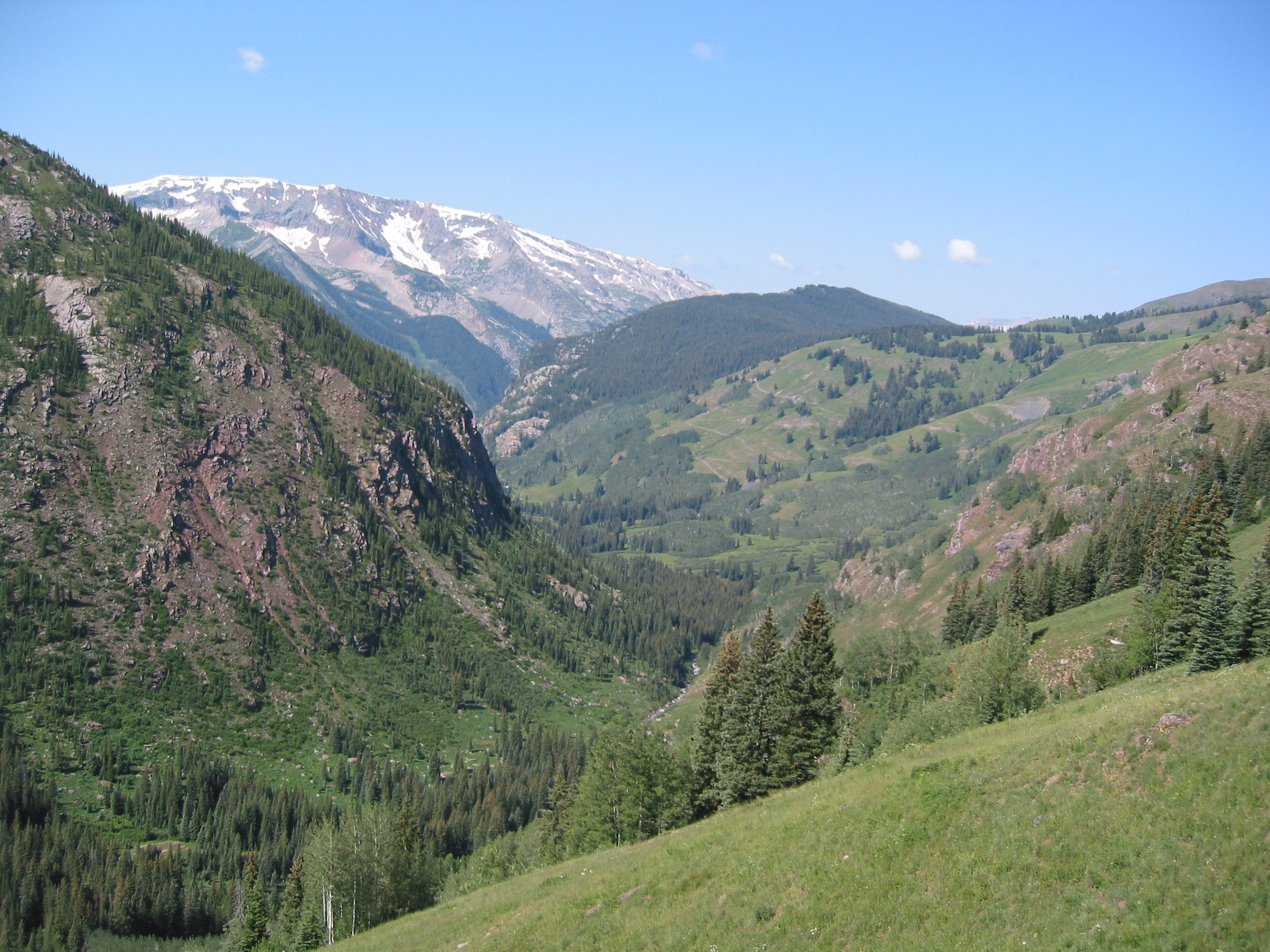
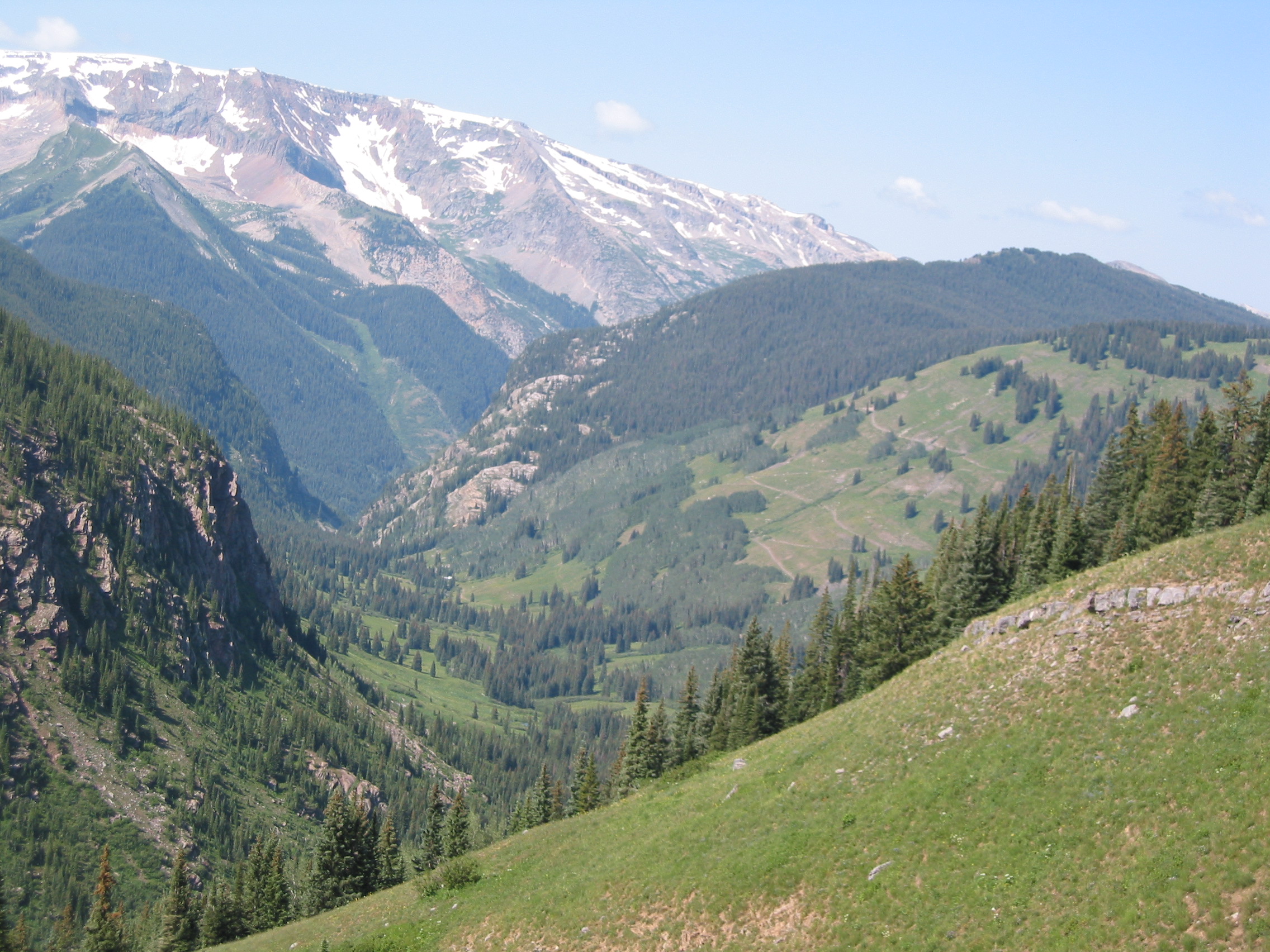
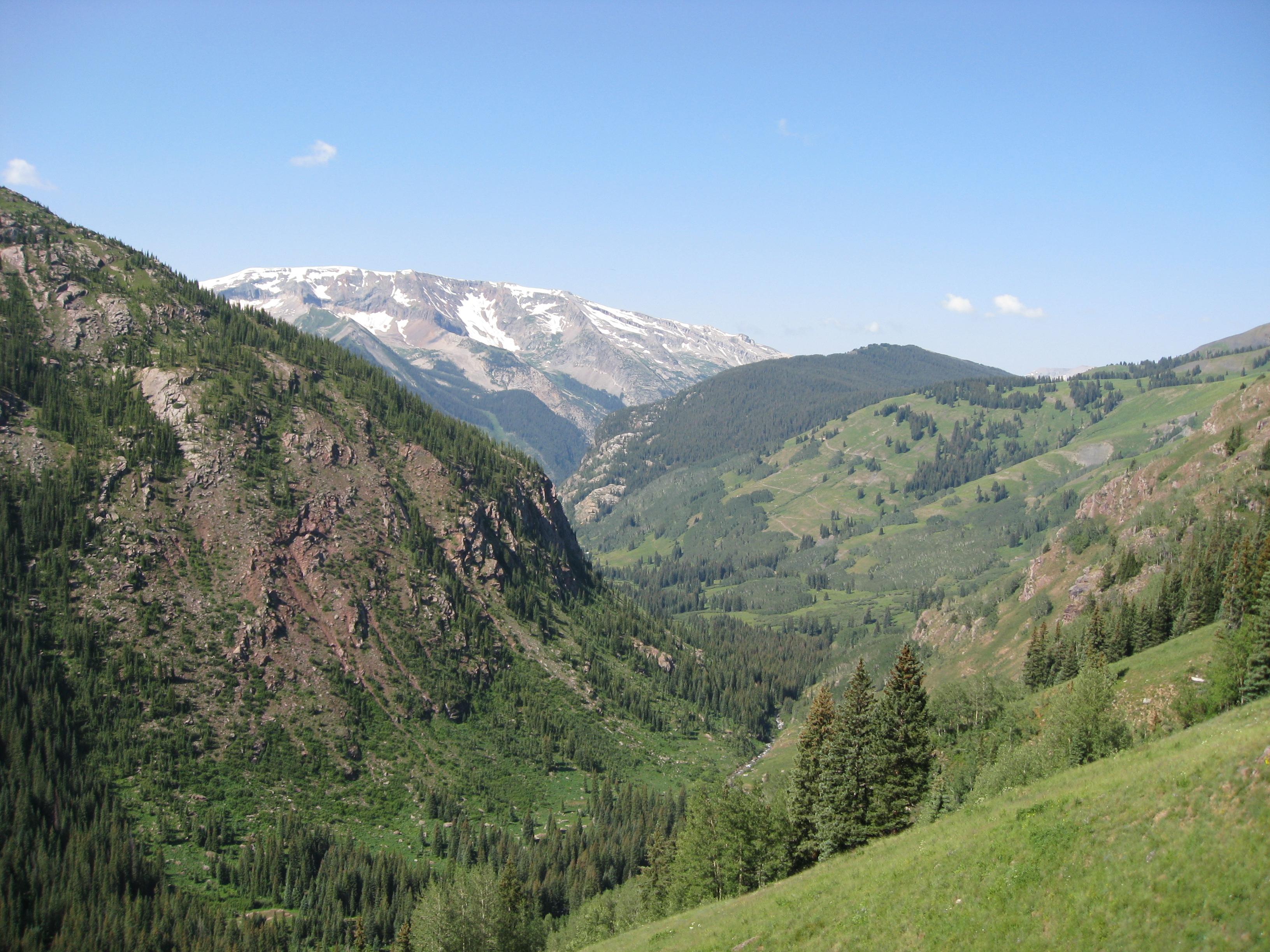
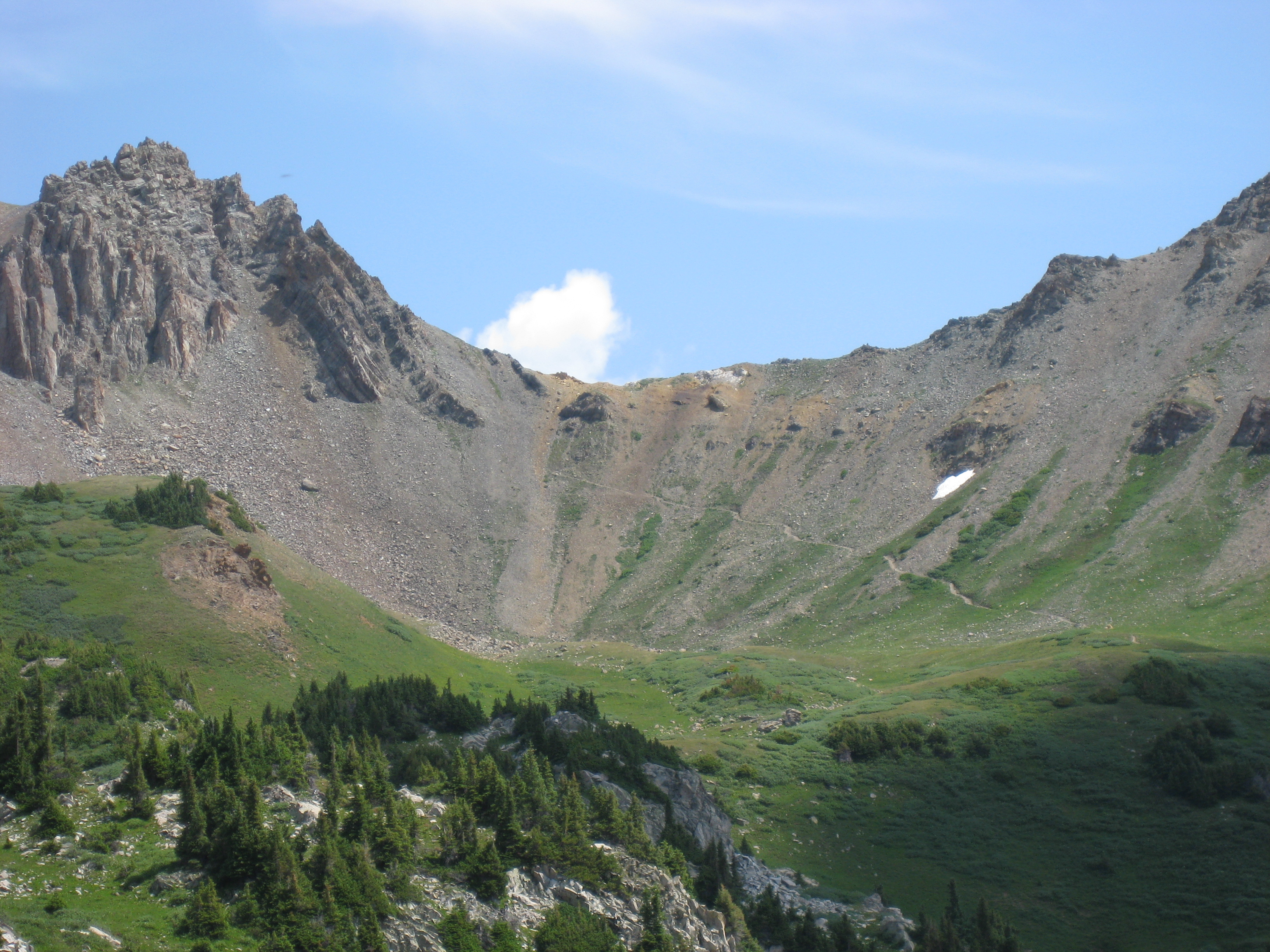
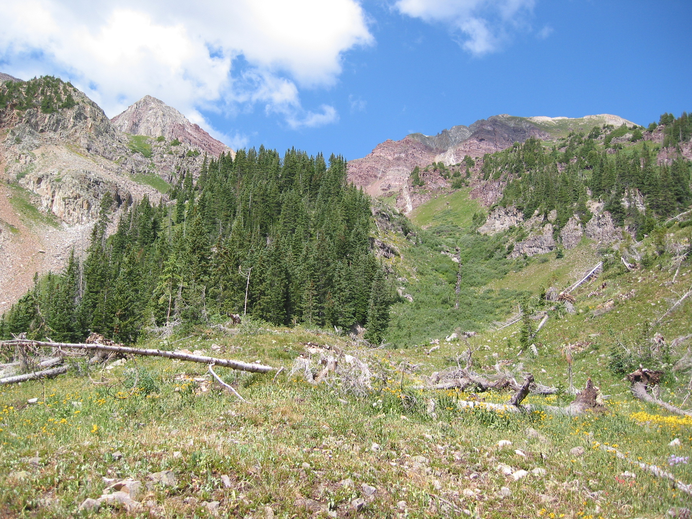
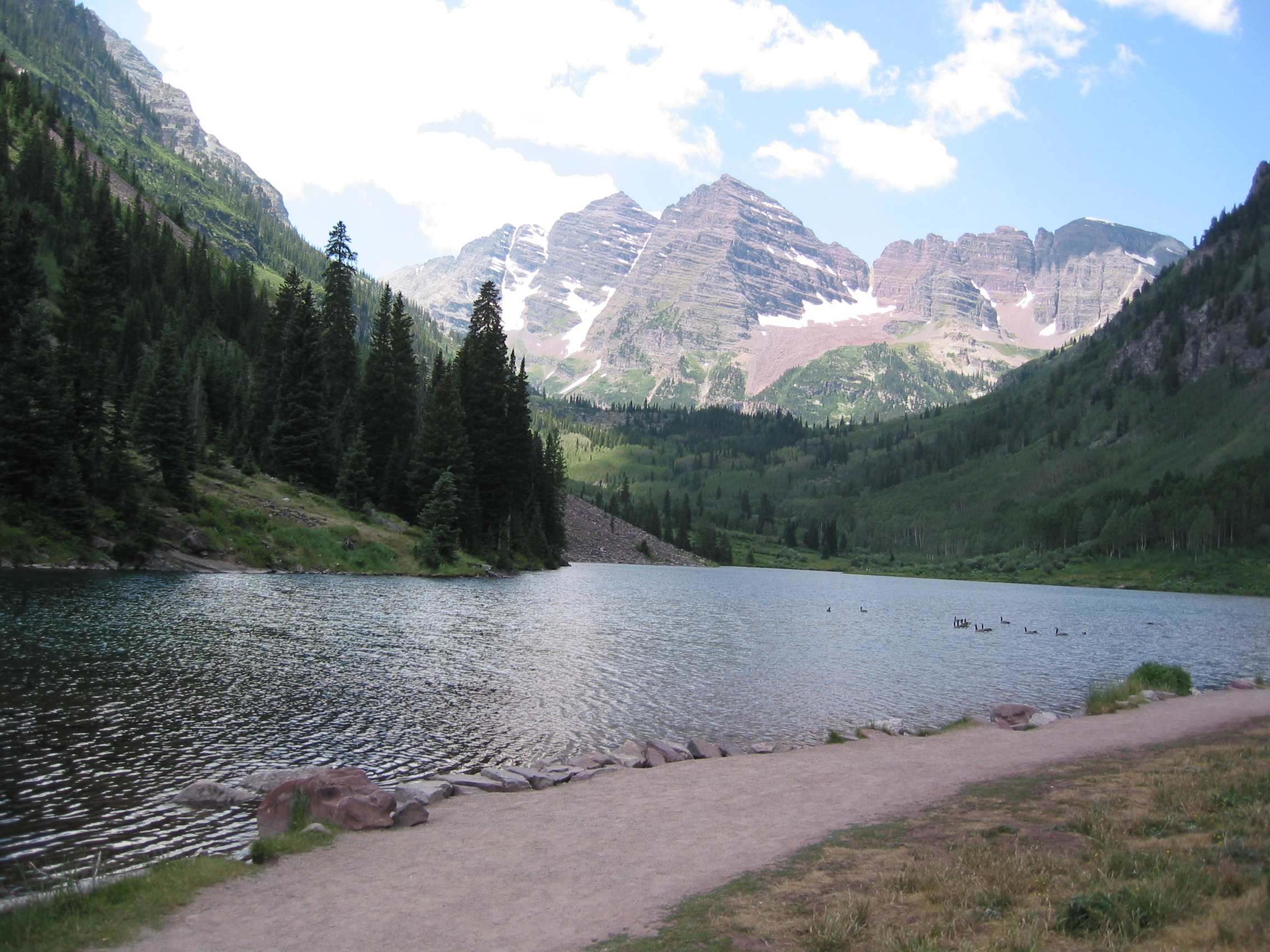
Then on to the Maroon Bells. Supposedly the most photographed mountains in Colorado... And allegedly the inspiration for the Coors logo...
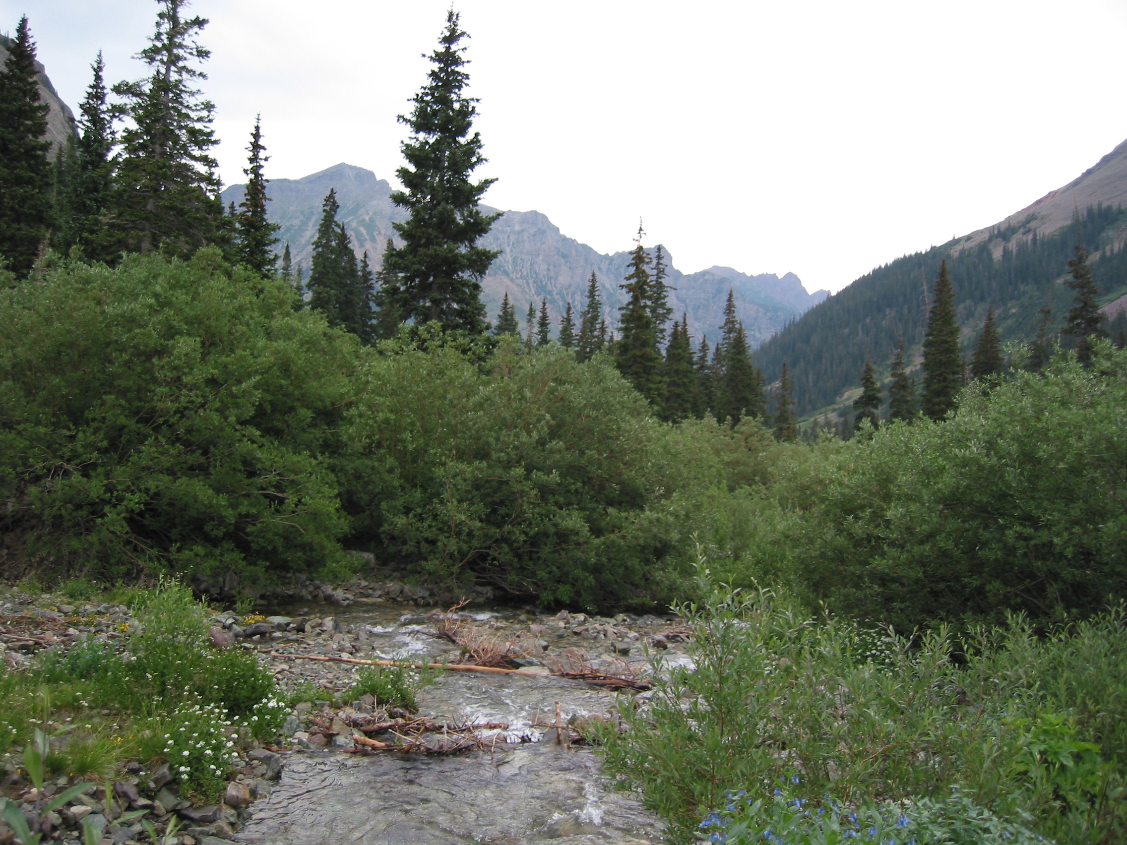
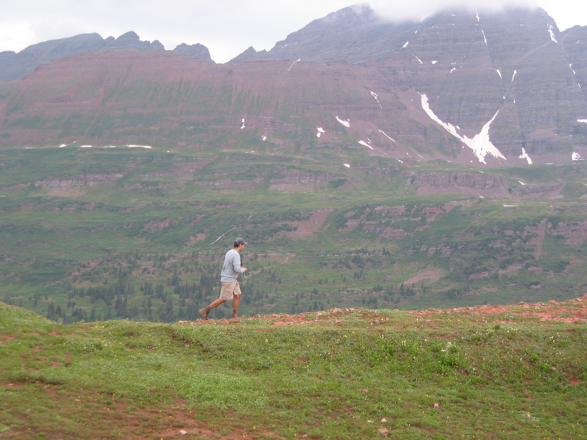
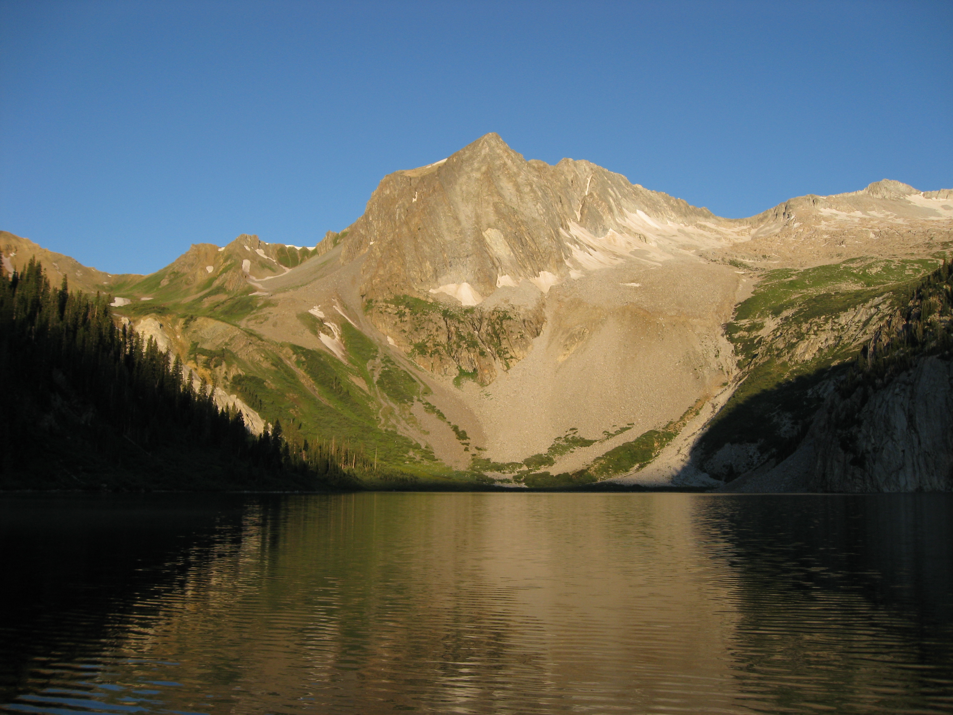
The photo below is what you can see from the parking area, very nice...
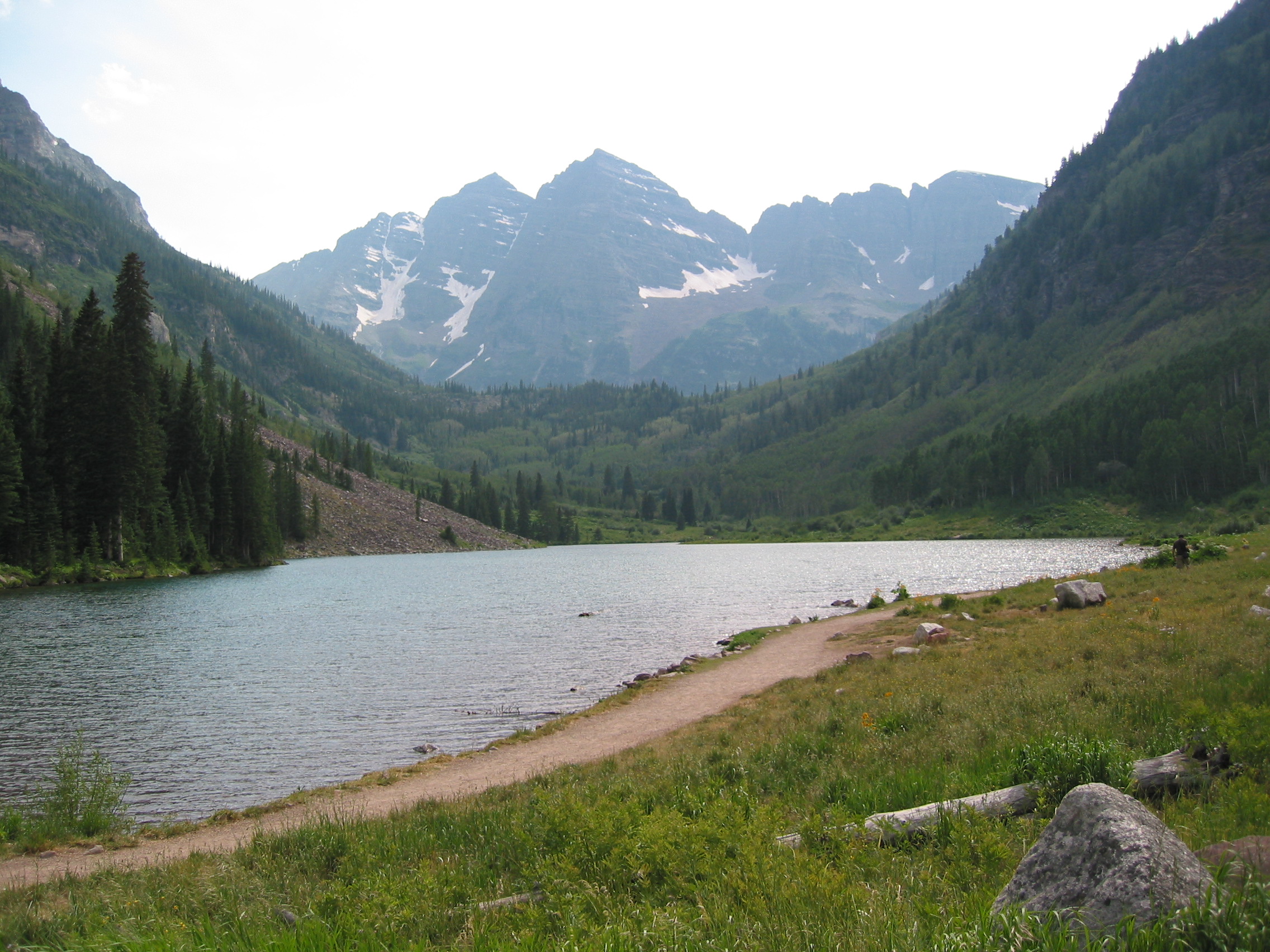
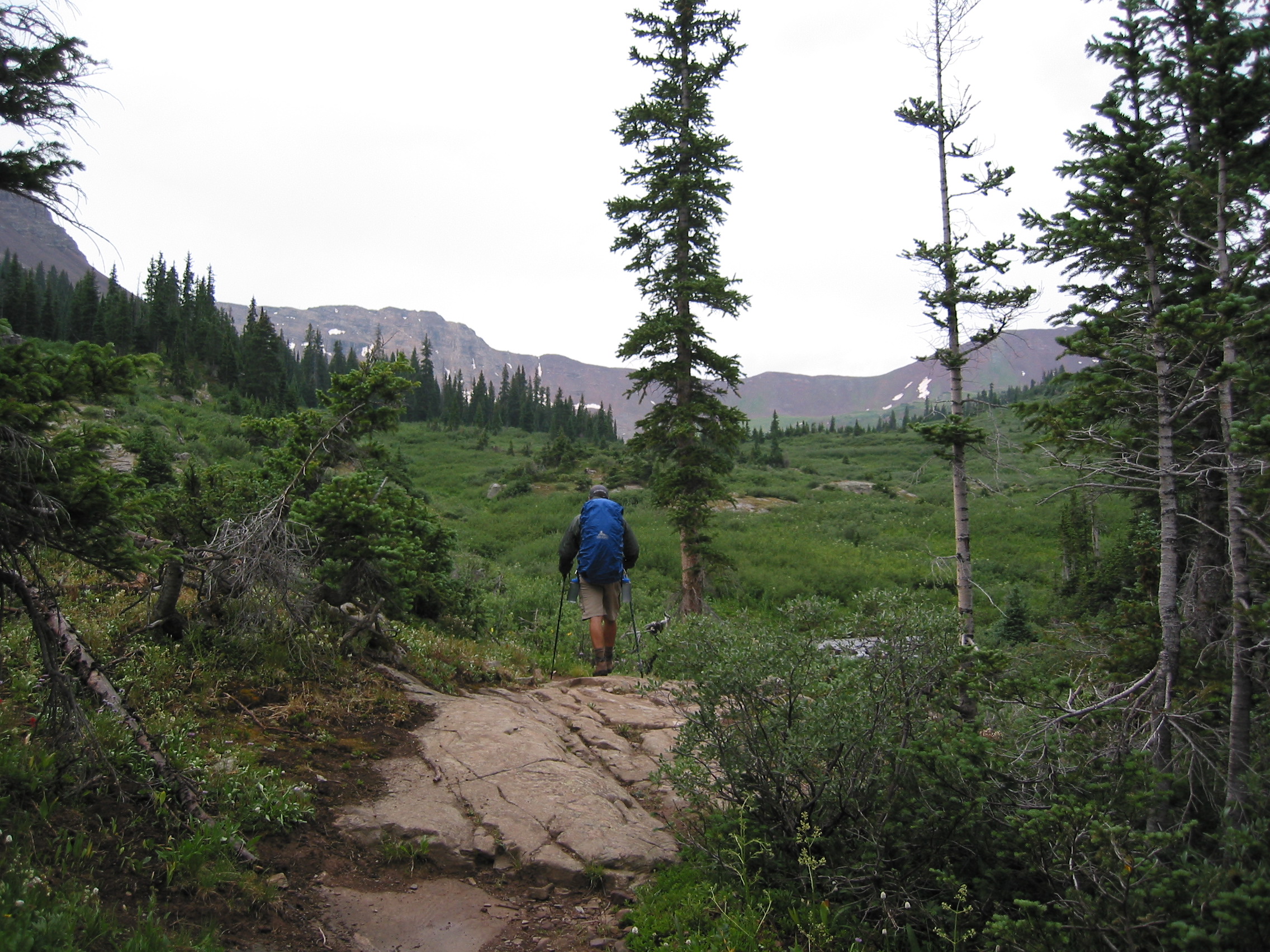
First we had to fill out a free permit and drop that off, and then hit the trail. We only had a few miles to go today and then a long day tomorrow. The first part of the trail, around Maroon Lake (in the pic above) and over to and around Crater Lake was pretty crowded, but not so steep. Most of the day hikers stick to these areas.

 the first night at camp and a late dinner
The first night my head is pounding from the altitude change, but to help me forget about that during the night, every two hours I get to have a bowel movement. I slept for an hour or two, and was unable to eat breakfast, good start.
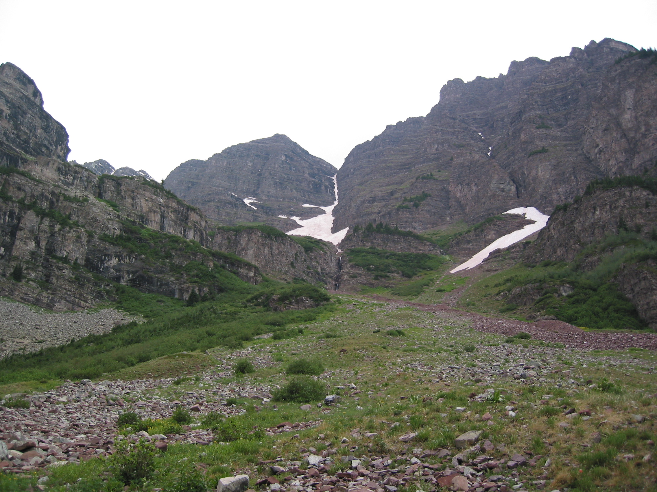
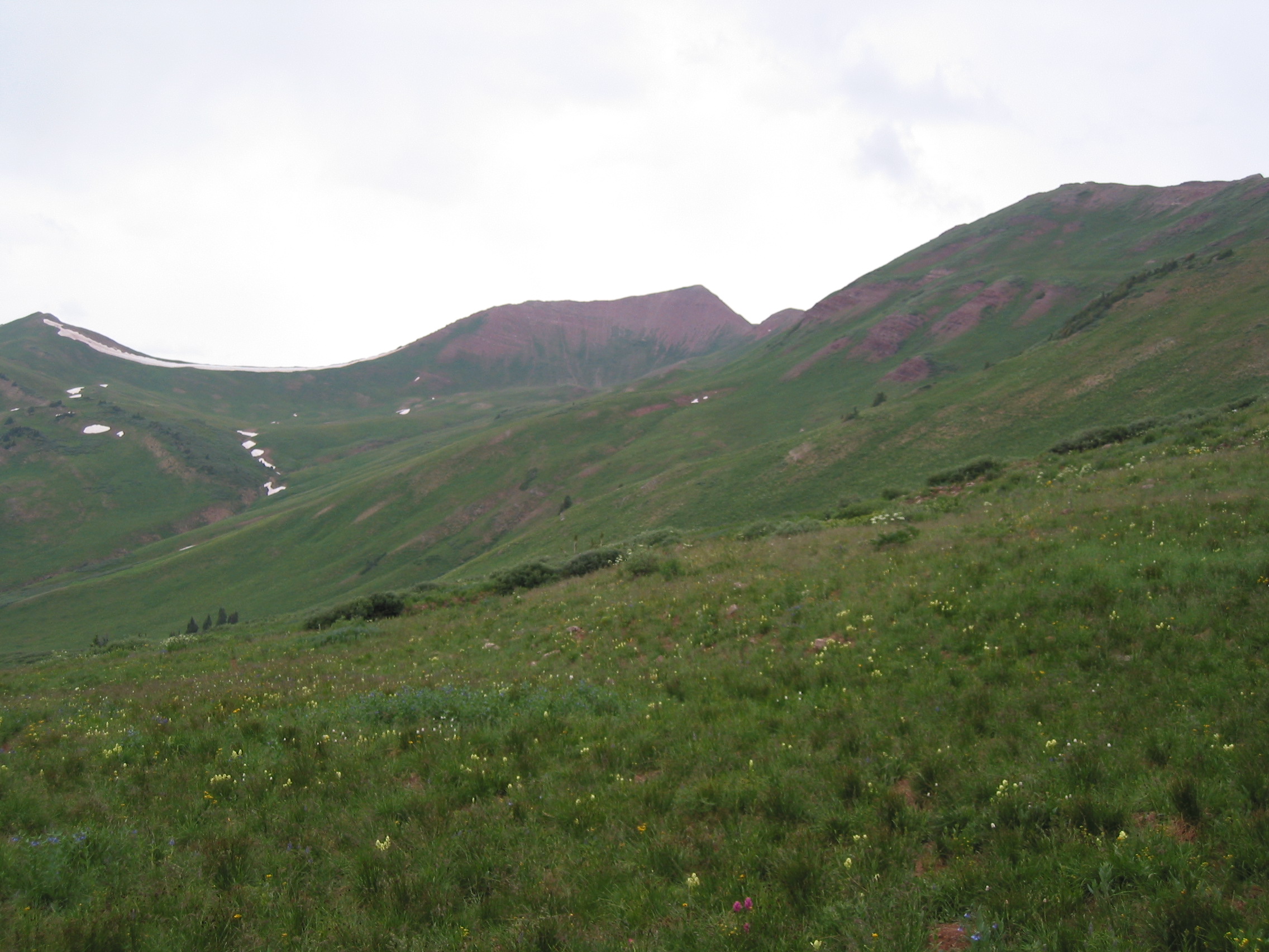
The first morning offers a little misty weather along with a pounding headache and an early water crossing (West Maroon Creek), and this followed by crossing 2 passes before lunch (because there is not really an area to camp between them.) About 3 miles and 1900' of elevation gain to the first pass, West Maroon Pass.
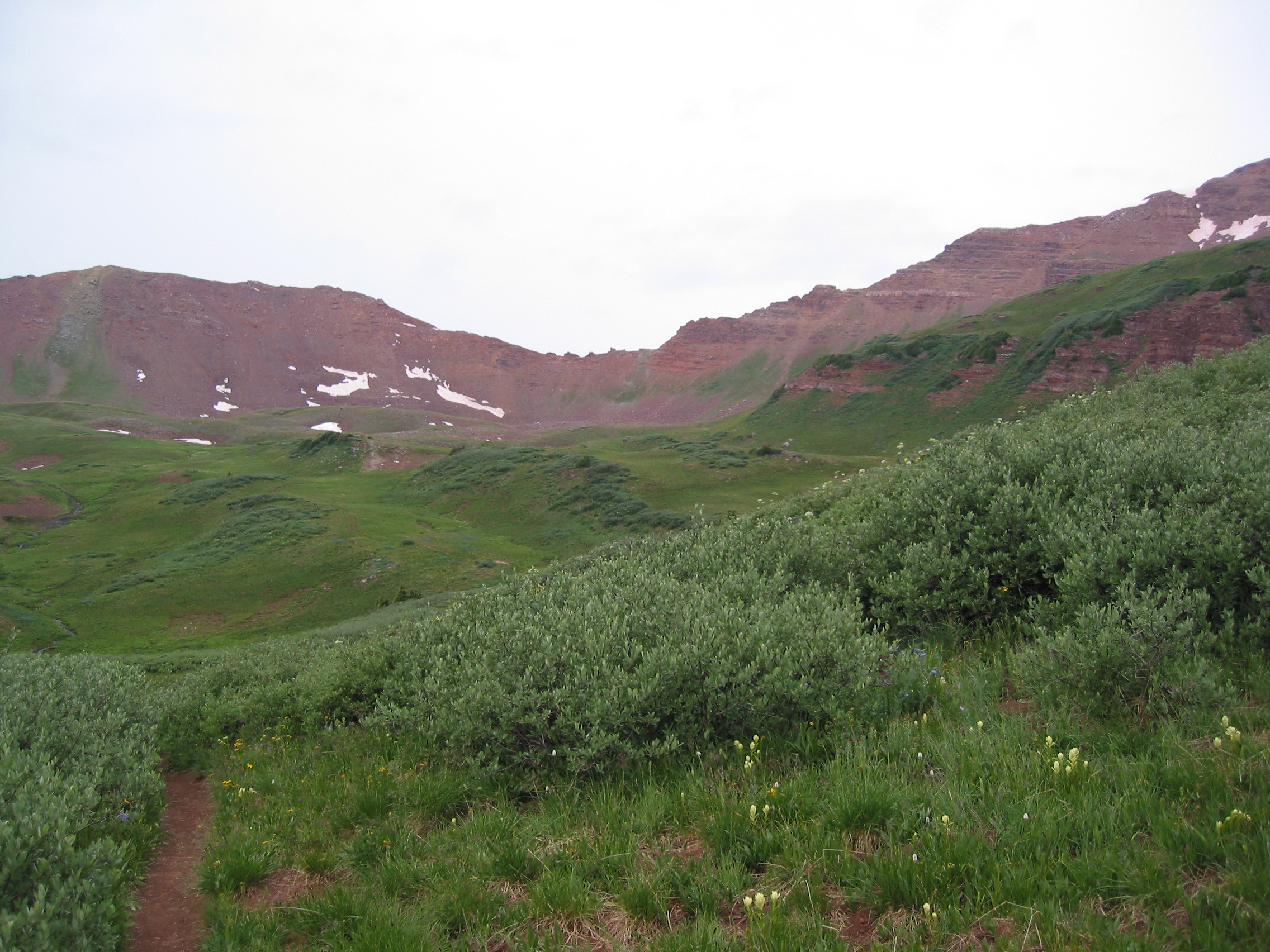 this photo shows the first pass, West Maroon Pass, 12,500 ft.
The low spot in the center of the picture is the pass. We will walk around the green mound on the right side of that and then approach the pass from the right. A few broad switchbacks, then a long approach from the right.

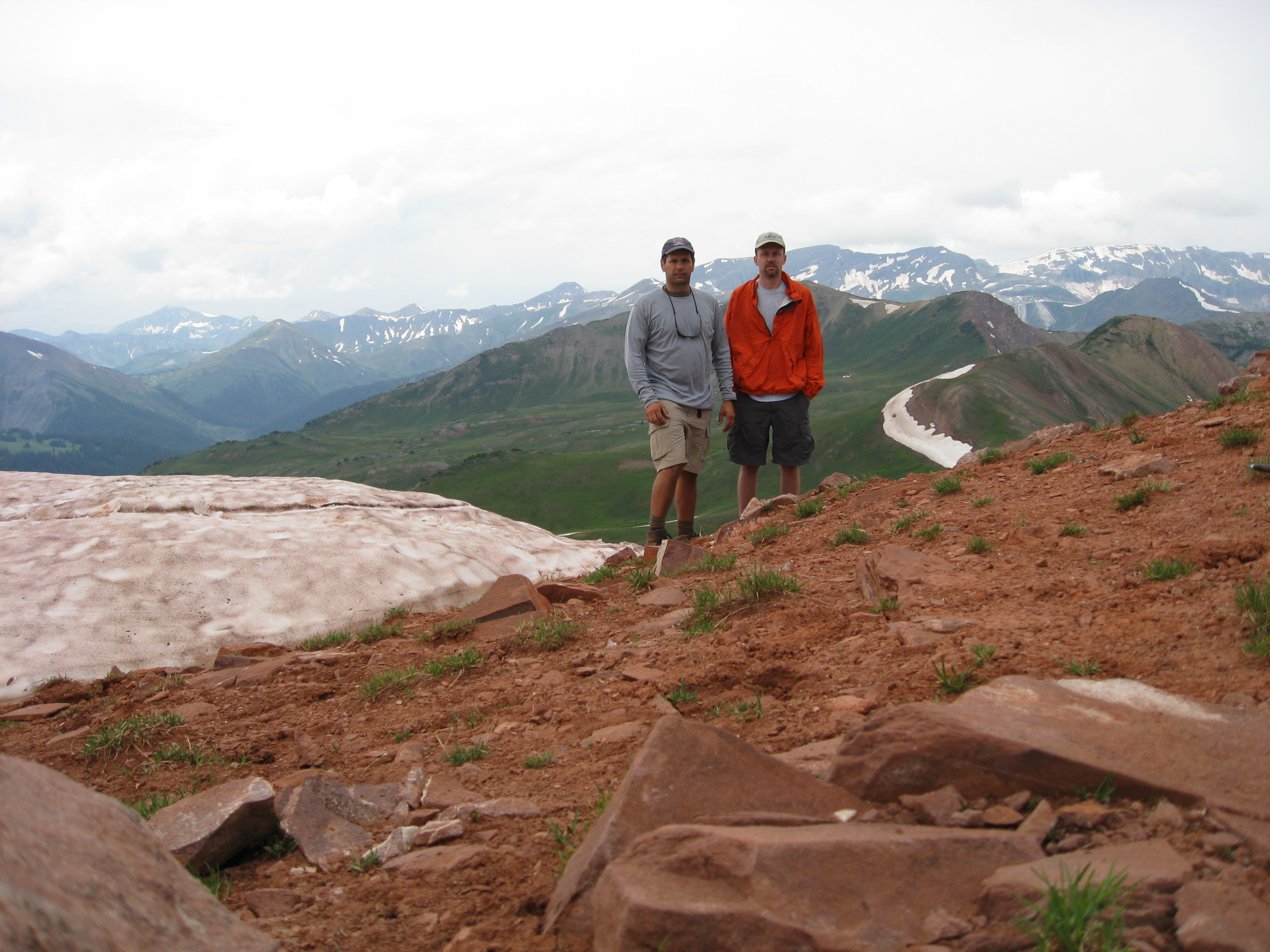
 top o' tha world ma
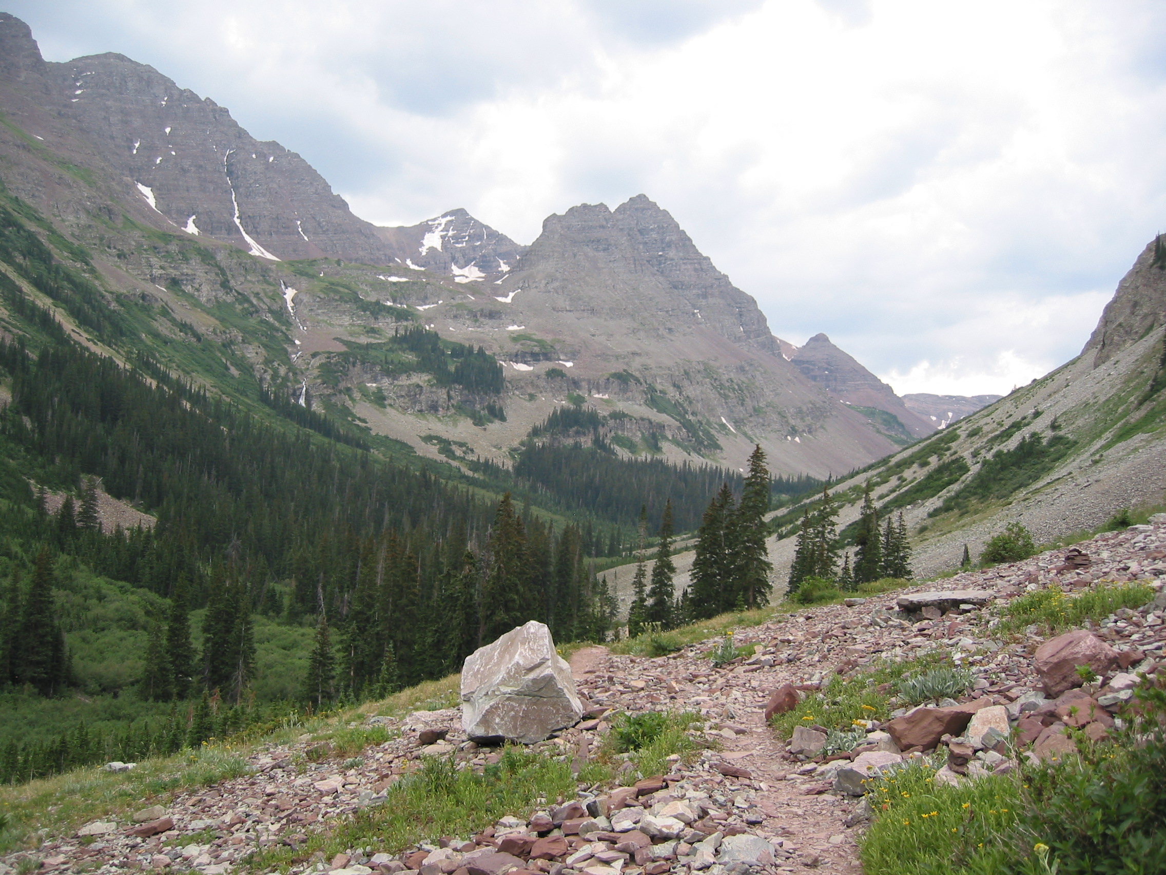
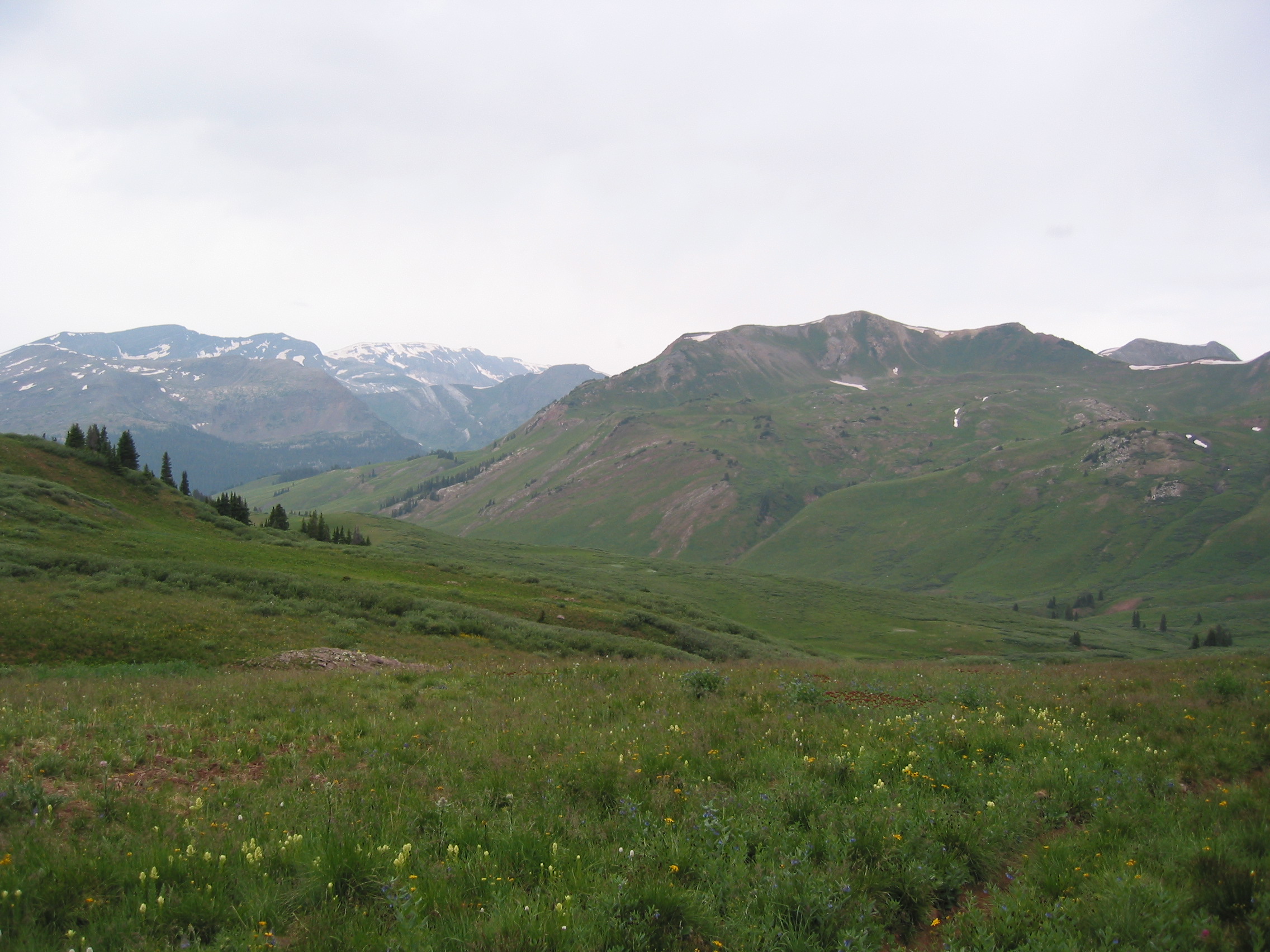
Then we get to West Maroon Pass. The third photo shows the trail we'll take to get to Frigid Air Pass. We will go down to the right and then toward the trees on the upper left. We'll lose about About 800' of elevation and then we'll start the up again.


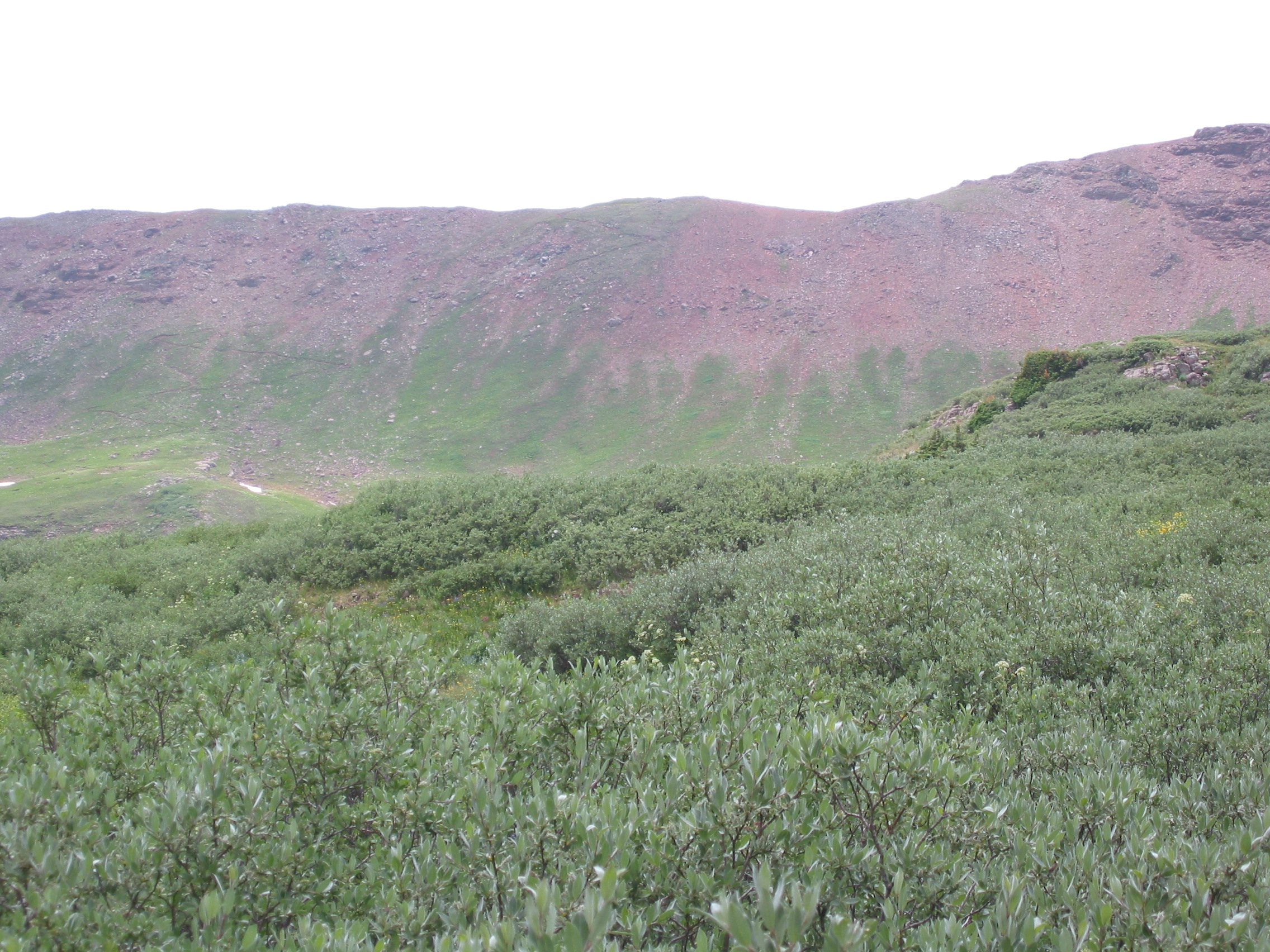
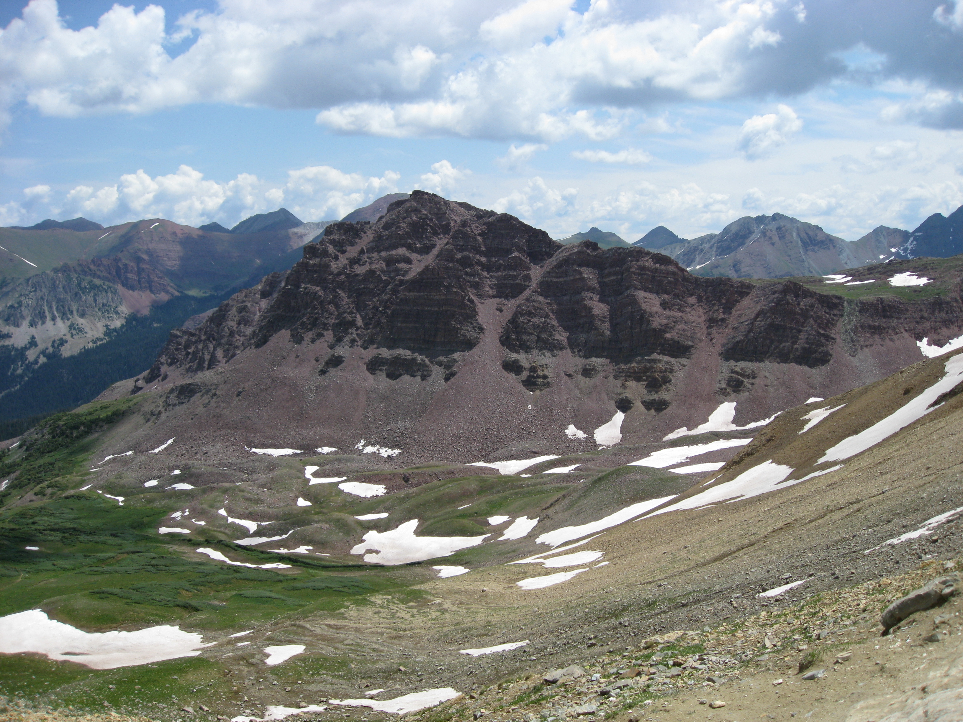
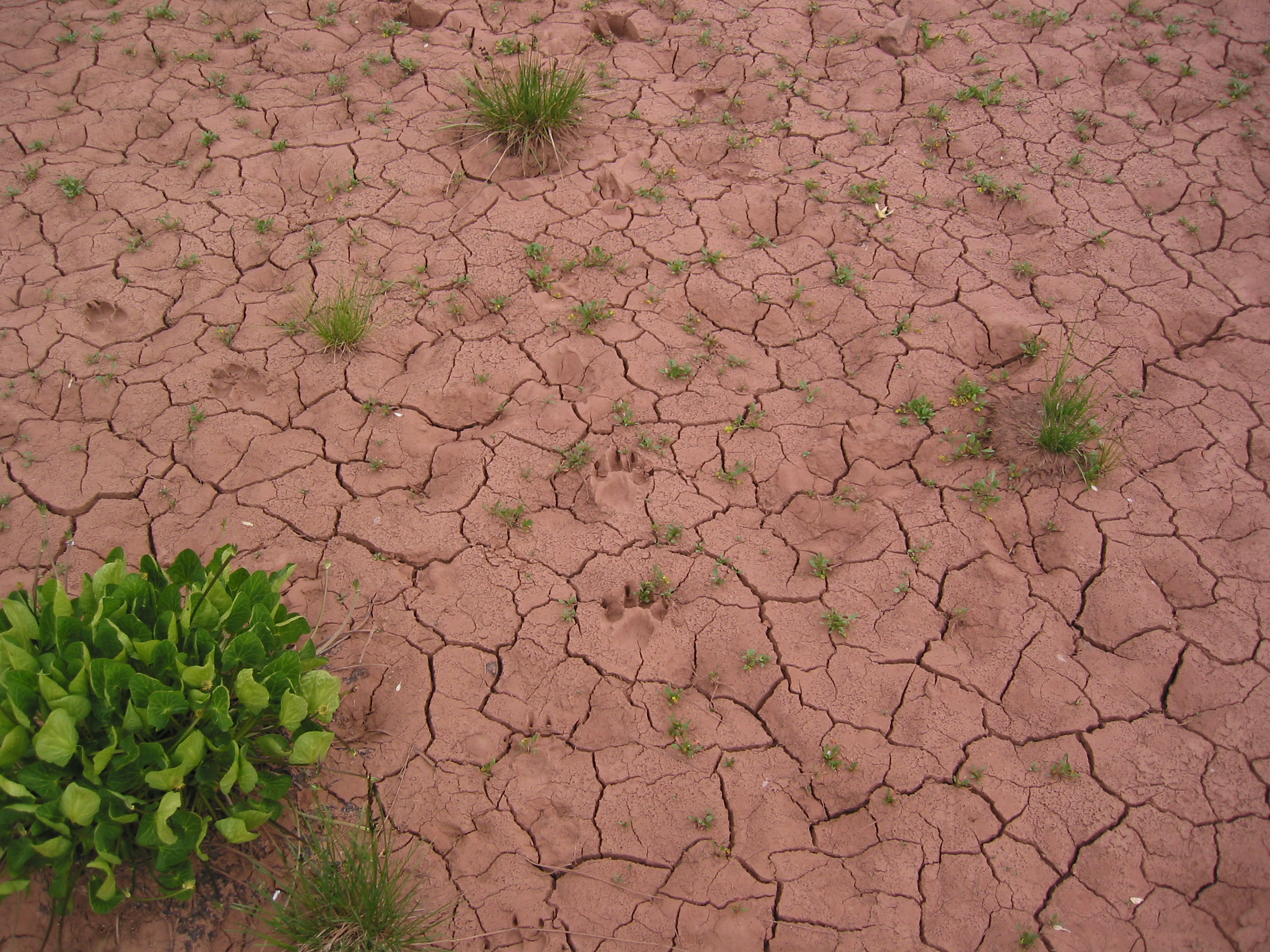 pretty dry

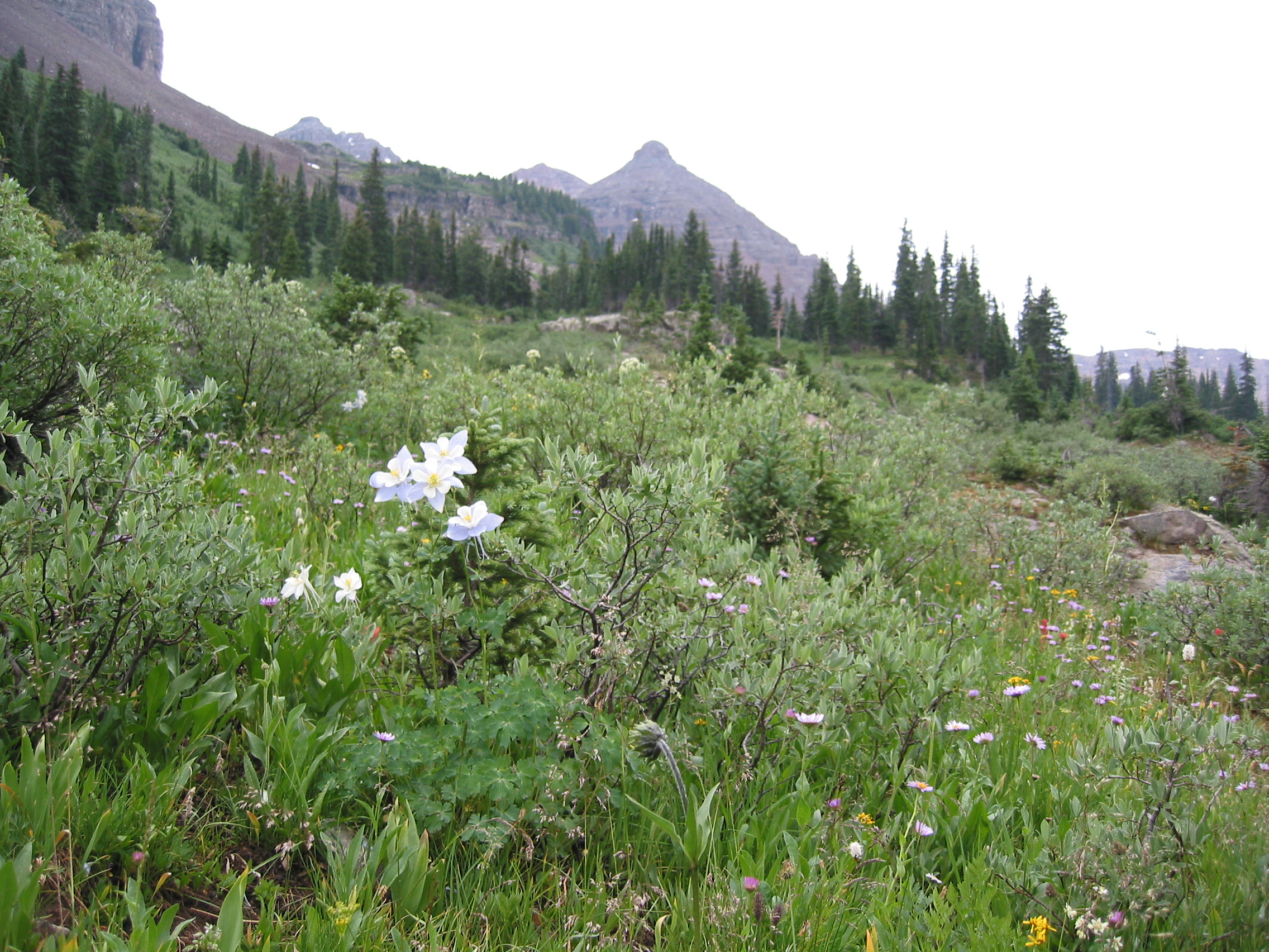
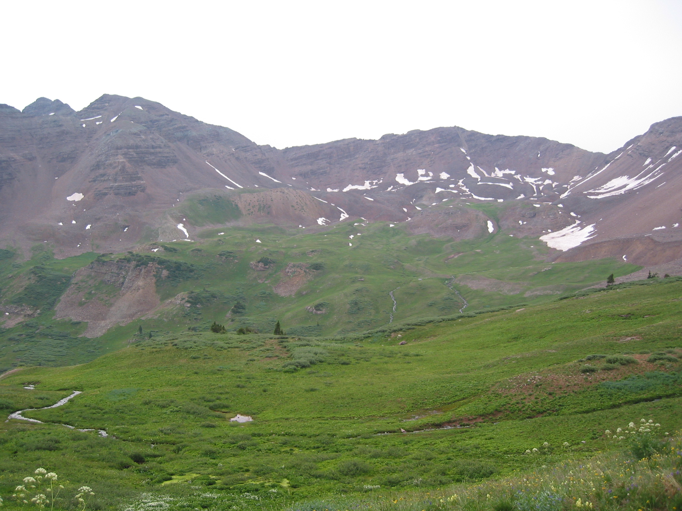
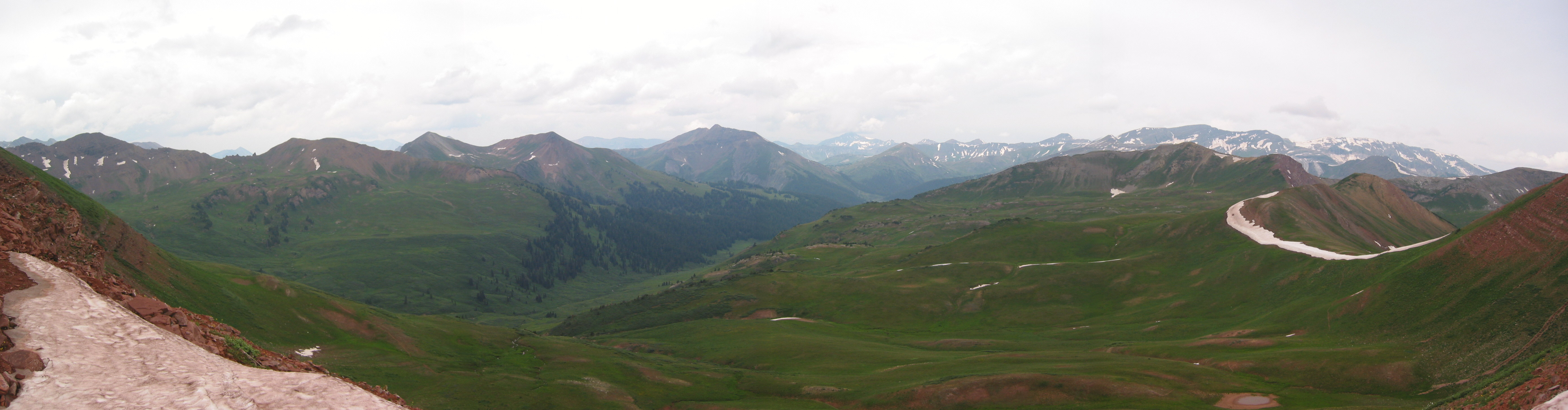
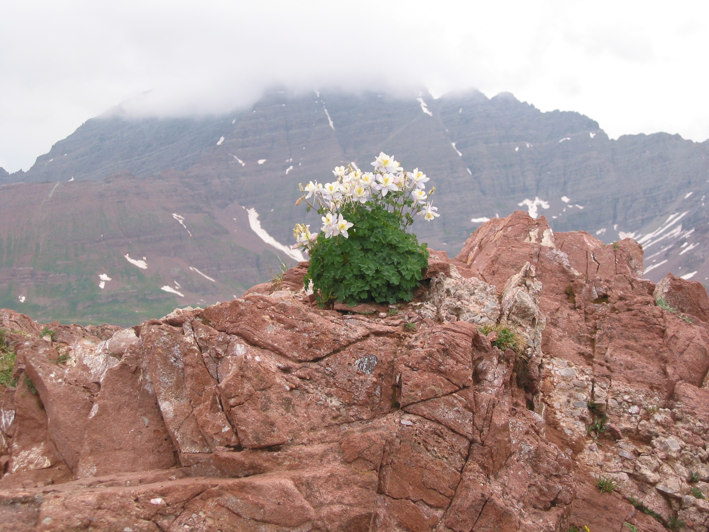
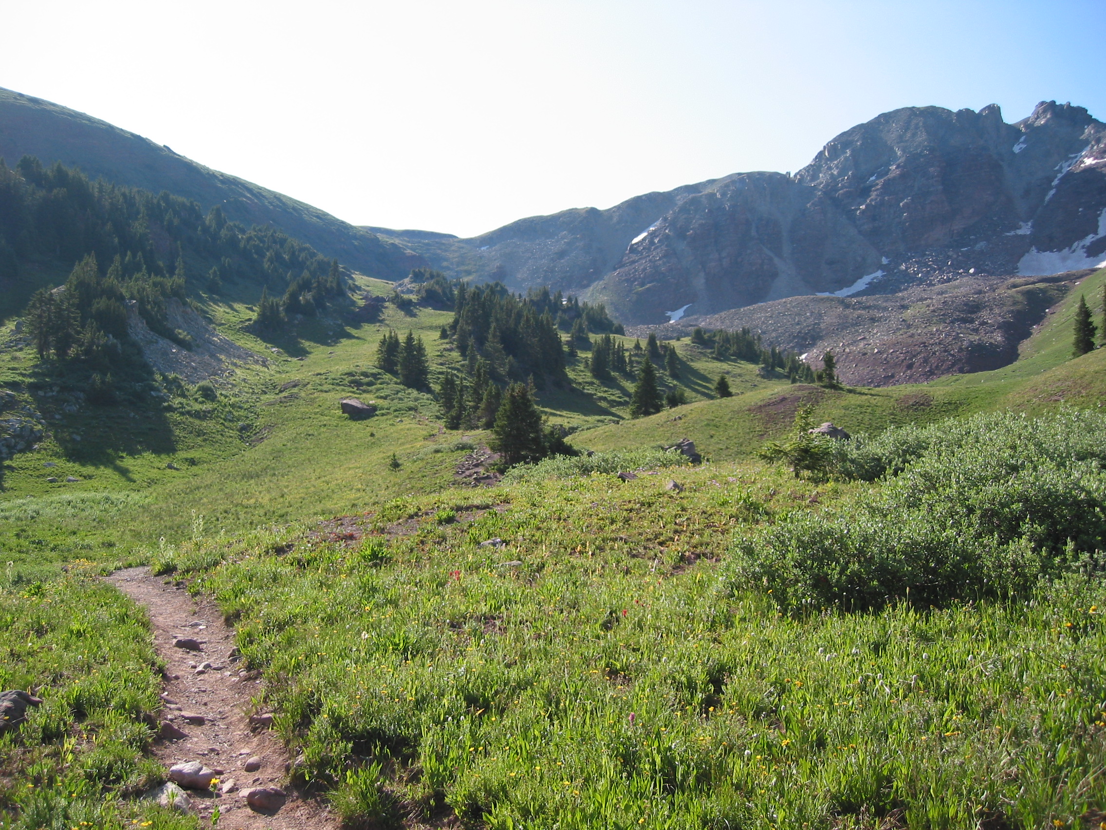
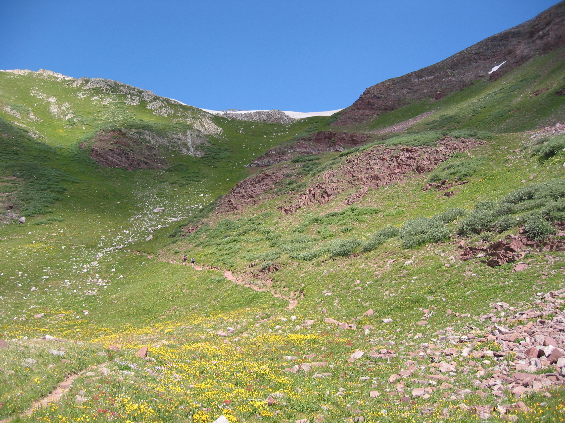
The basin between the two passes is very lush, and even in July full of wildflowers in areas.
We cross 20 feet of ice and then are on Frigid Air Pass, 12,415 ft. And it lives up to its name. Extremely windy and feels 20 degrees colder than only 30 minutes earlier. And the approach to this pass seemed to be the easiest of the four, but the last 200 yards were still very steep and left my lungs wondering where the oxygen was. But the views of the Maroon Bells and down into Frevert Basin are fantastic.
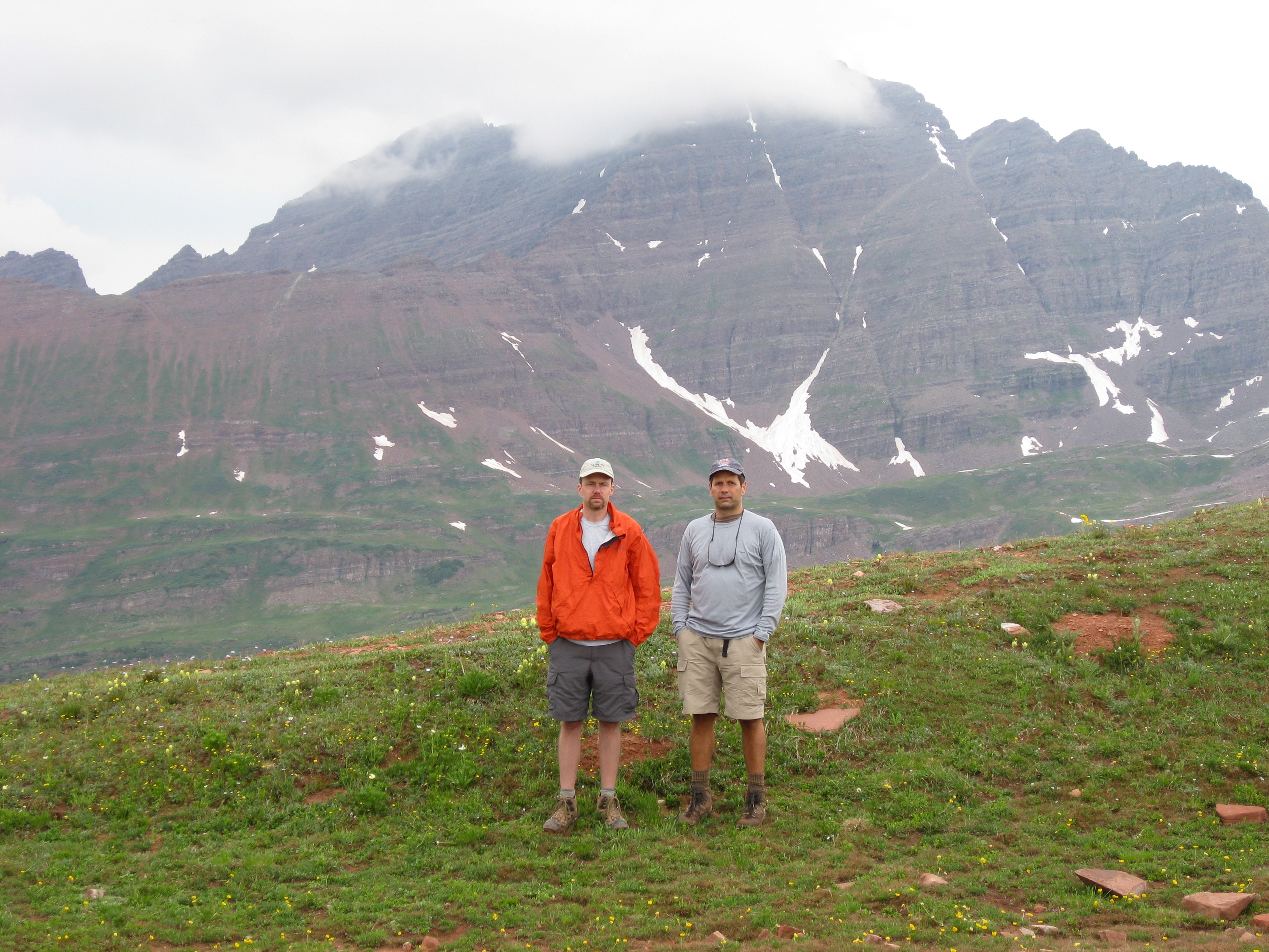
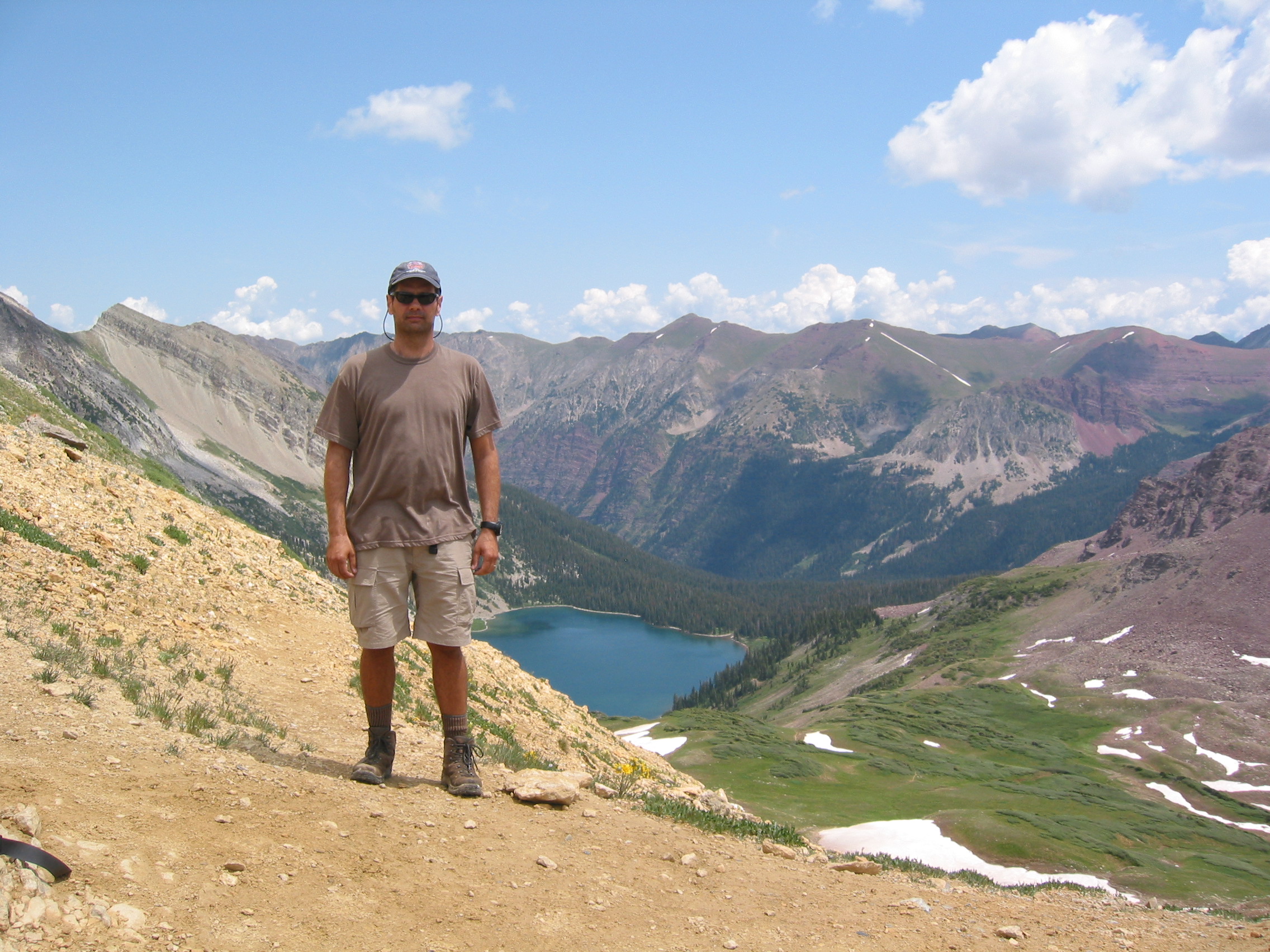
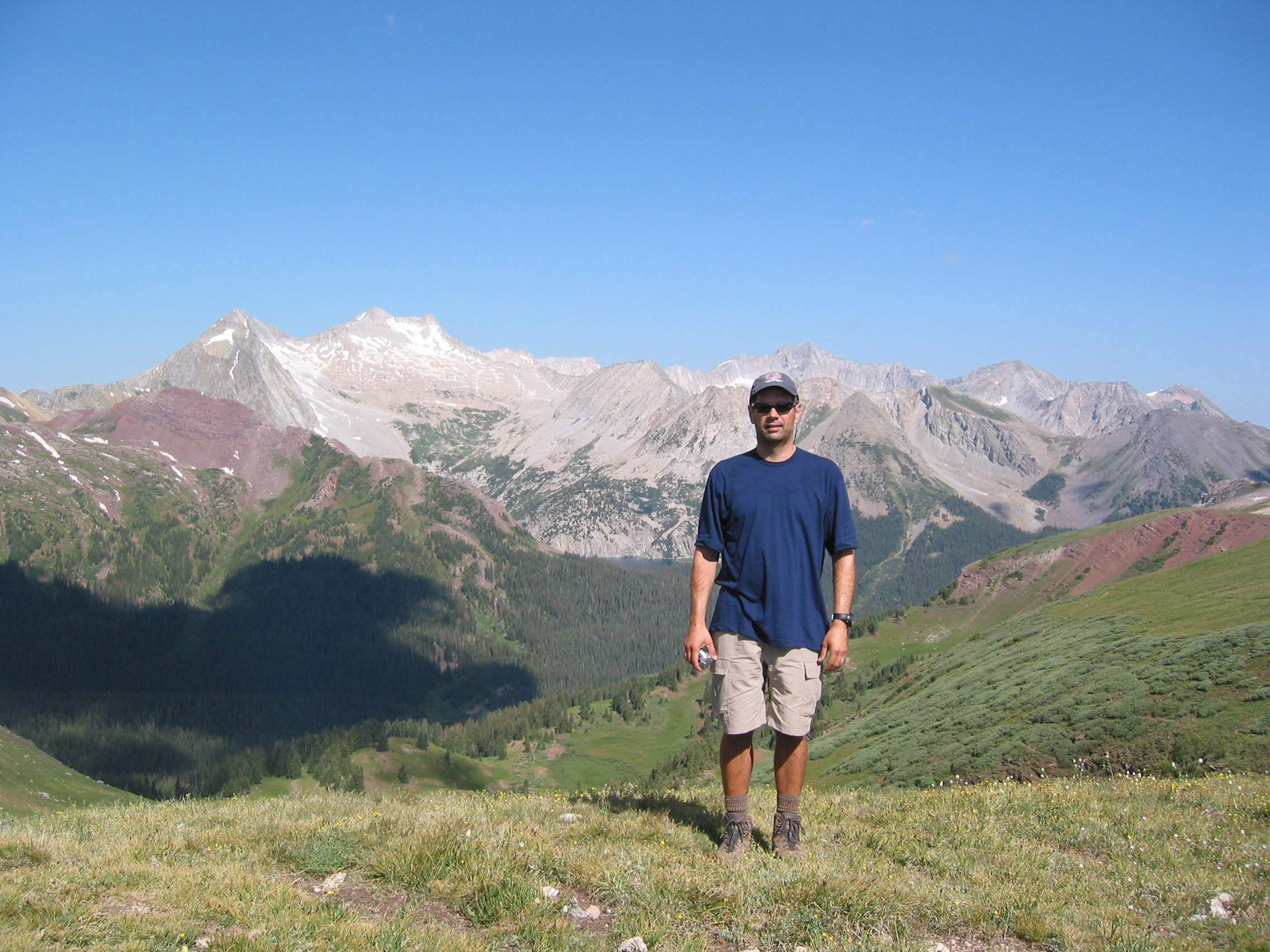
 me, waiting for the fire in my lungs to go out
We tried to eat a little lunch up here, but it was cold. And I still had a terrible altitude headache and some stomach problems. Then it was back to the trail and down the switchbacks you can see in one of the photos below and into Frevert Basin to find a place to camp. It is getting a little cloudy now also and we can hear thunder. But we must make time for posing and attempting snow angels.
 this last one is looking back at Frigid Air Pass from the north and the switchbacks
we just came down.
this last one is looking back at Frigid Air Pass from the north and the switchbacks
we just came down.
We passed 2 brothers out for a backpacking trip around the the same loop as us, only counterclockwise. They were in their fifties or sixties and looked quite weary. And with the weather worsening, they were just approaching the first of 2 passes that they needed to get over before camping. Doubt they made it before the storm.
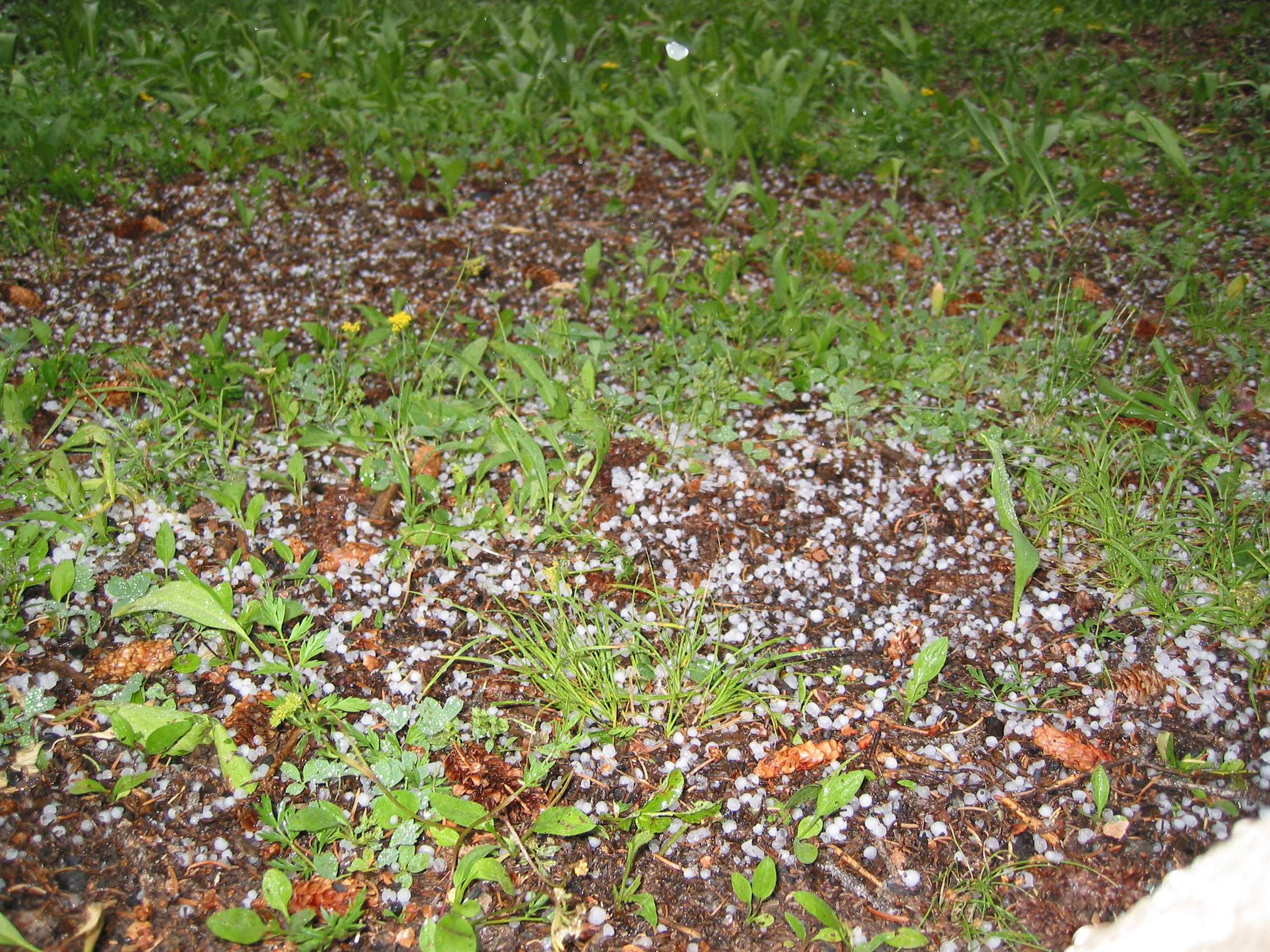
Below, we descend about 1800' to flatter ground and here is the campsite for the evening, located while it was thundering pretty hard. Then the hail and lightning started and went on for a couple of hours. Paul sampled his 80 proof refreshments while stuck in his tent.
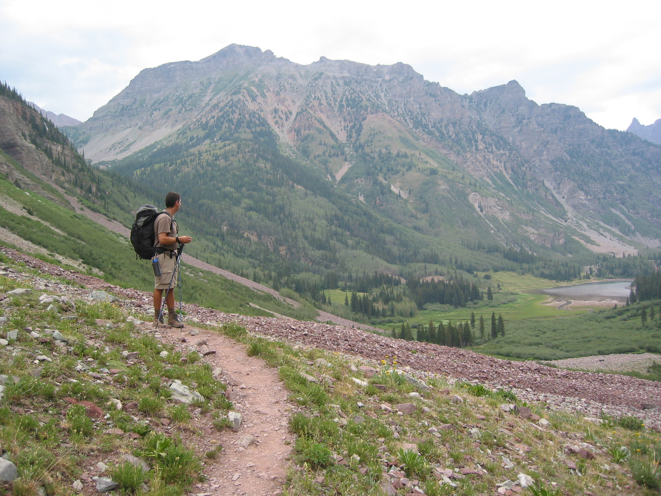
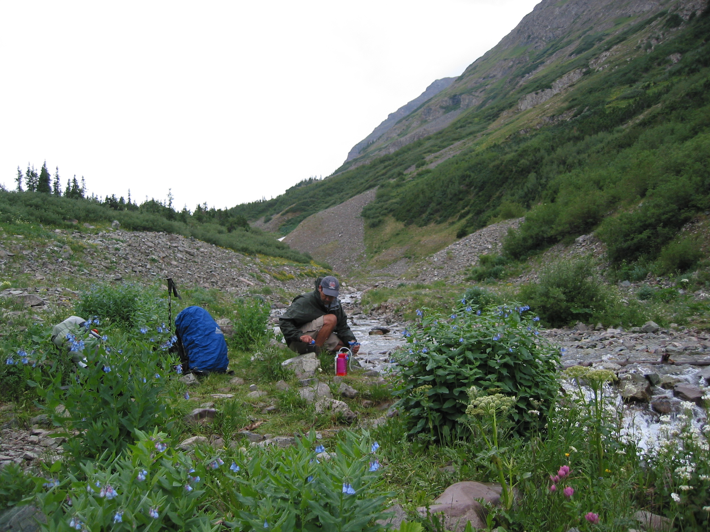
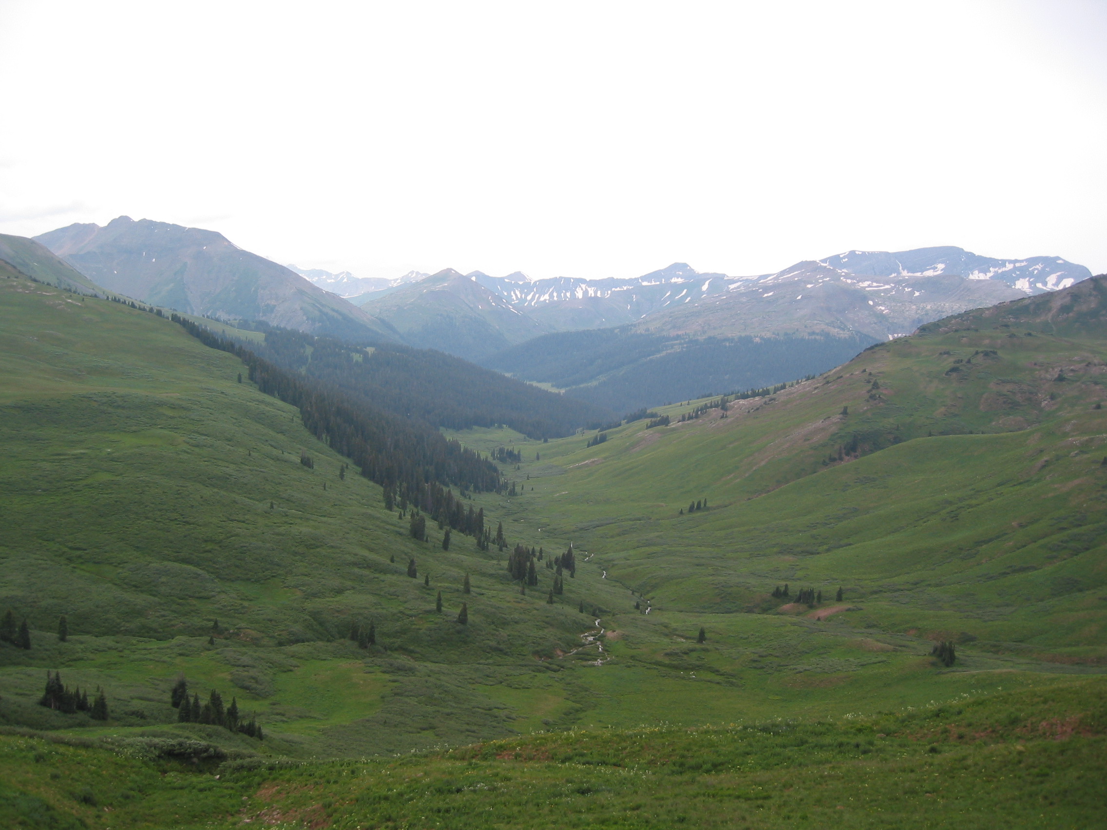
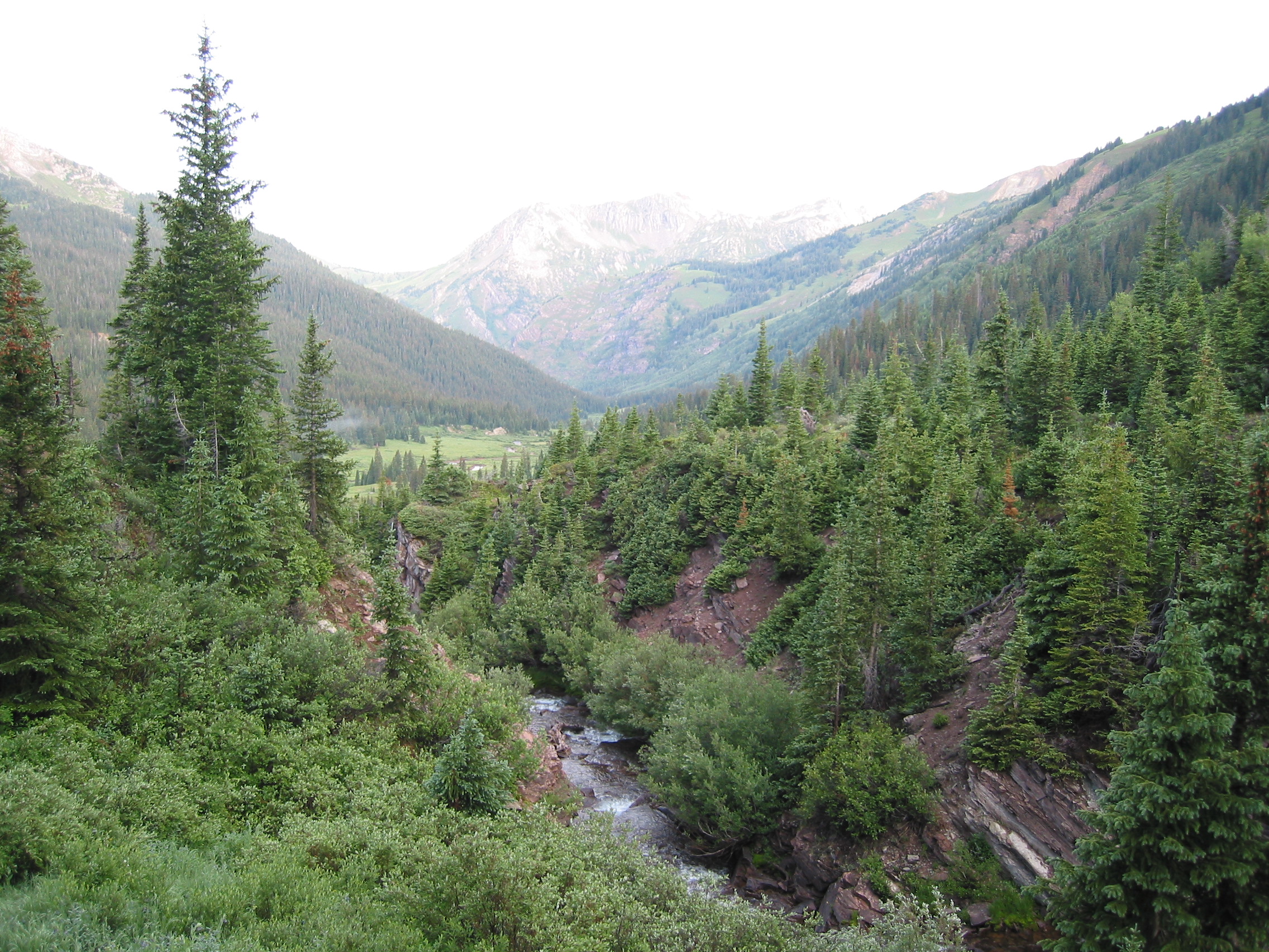
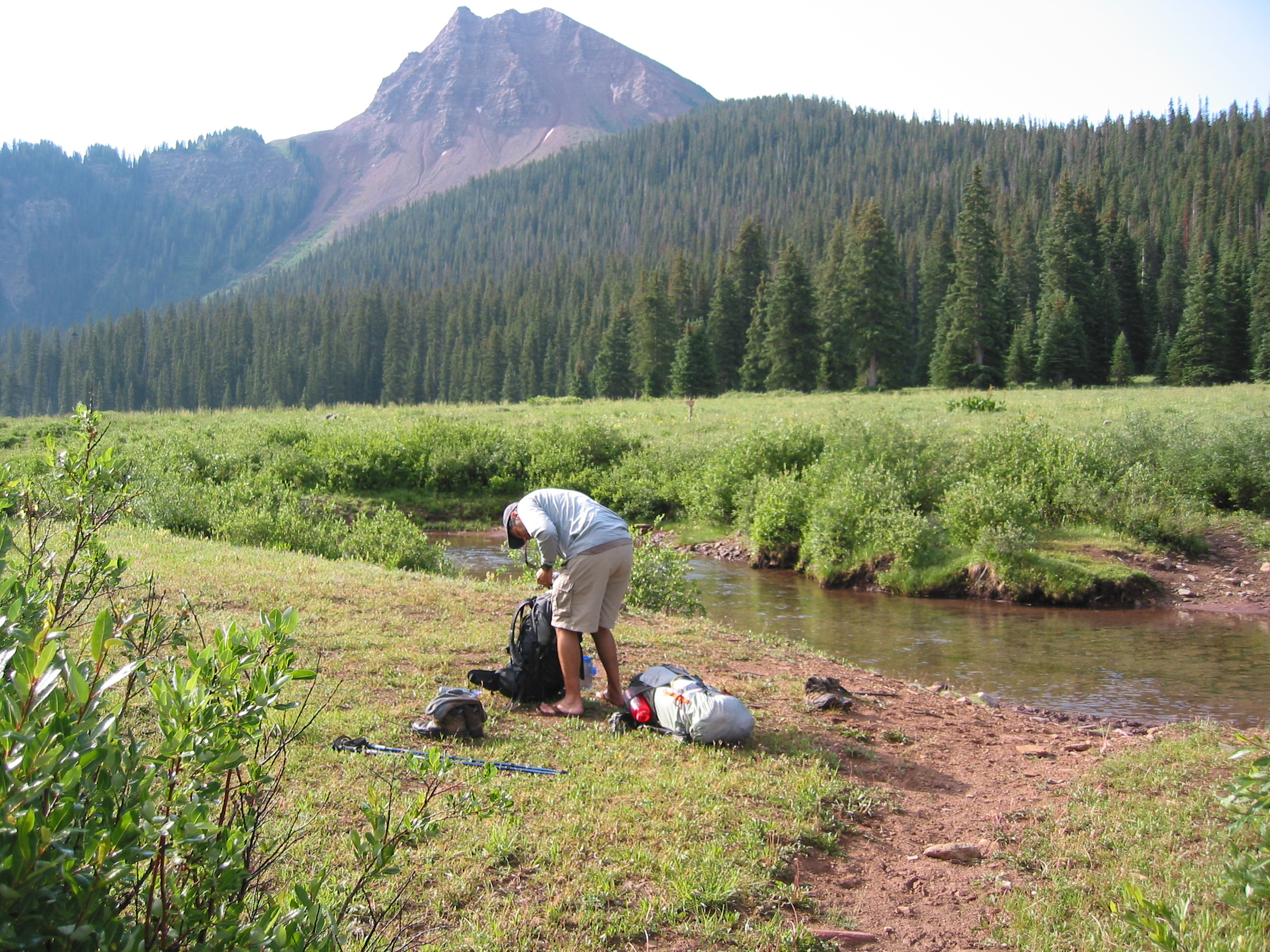
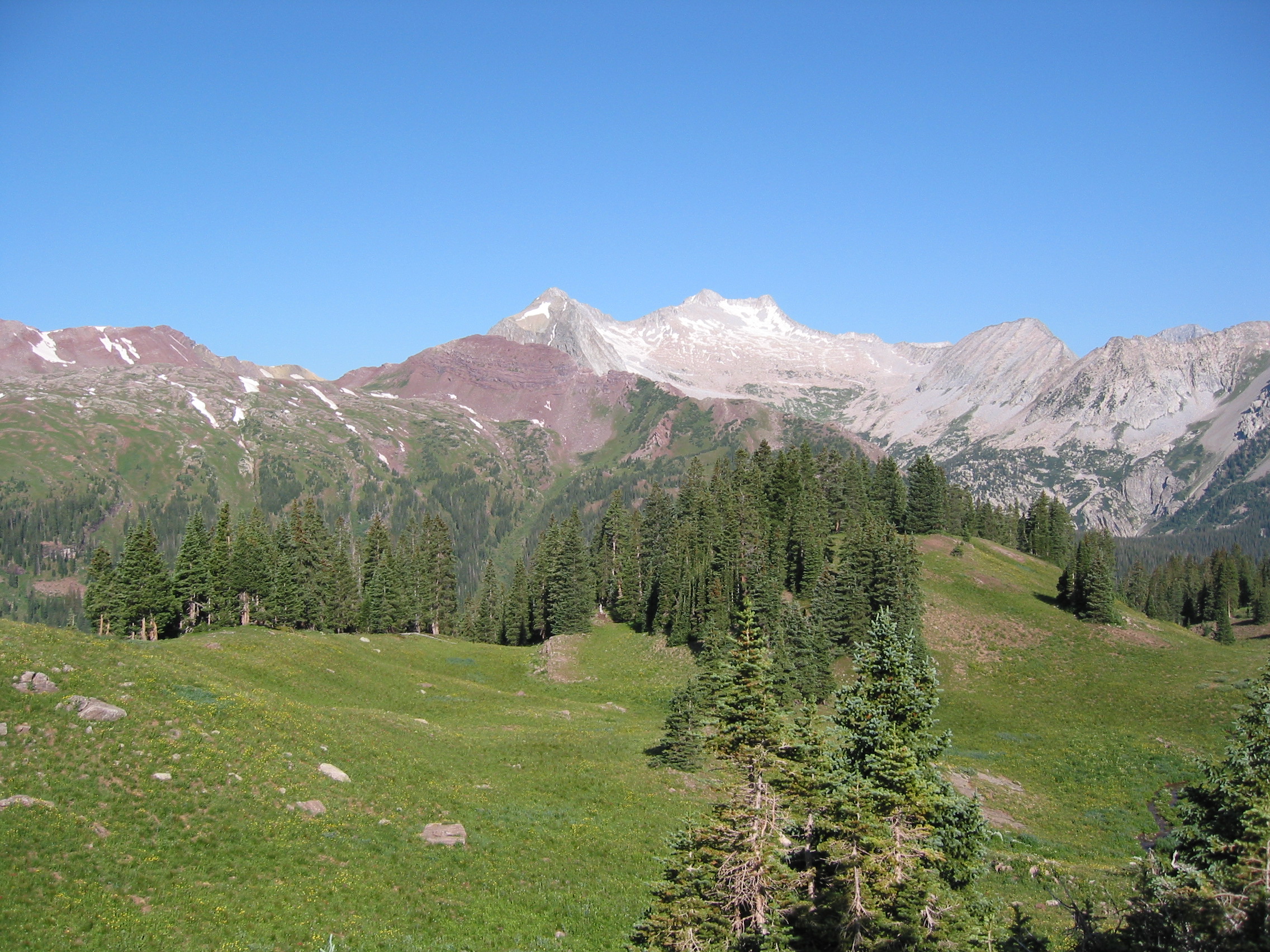
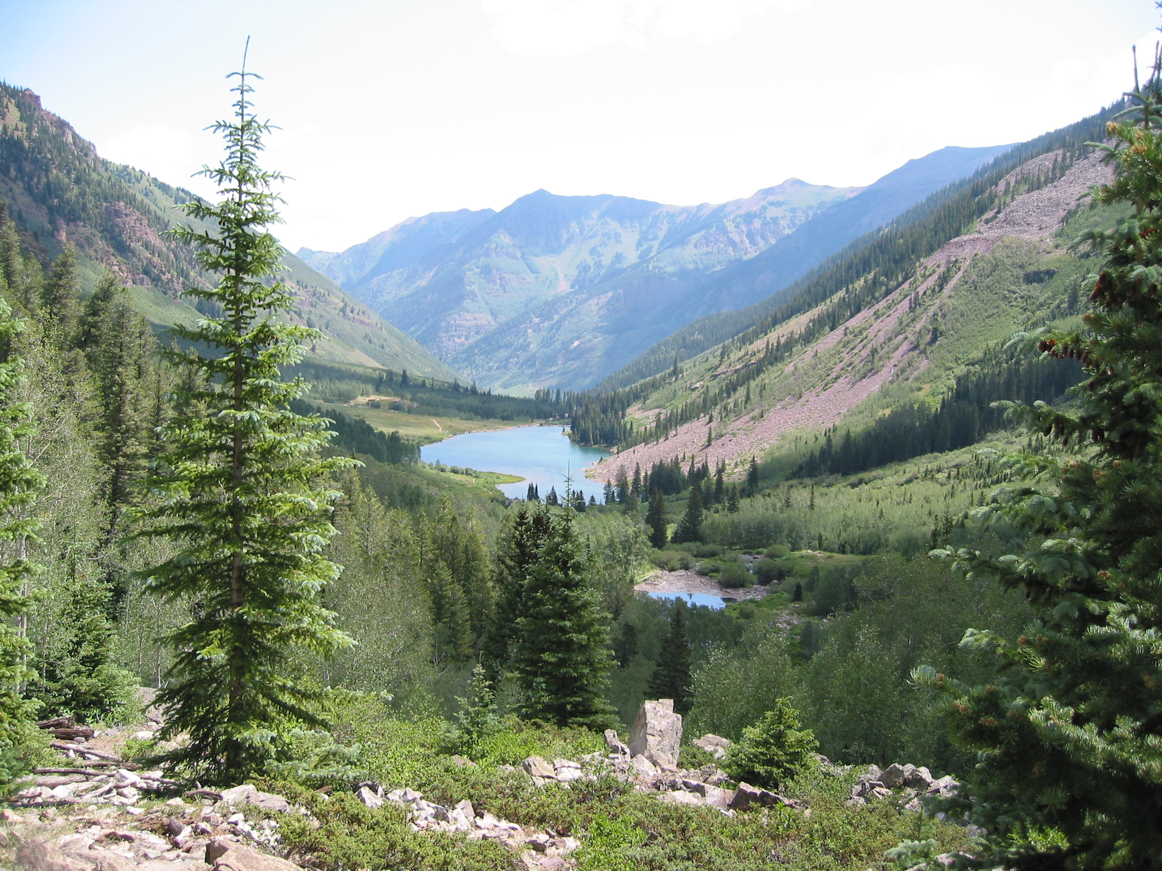
The following morning the weather looks great. This day will be a shorter hike but will have several more 'boots-off' water crossings. We will follow the North Fork of the Crystal River down for a mile or maybe two, dropping several hundred feet, and then hike up a very steep section getting to Trail Rider Pass and then down the other side to Snowmass Lake for the night.
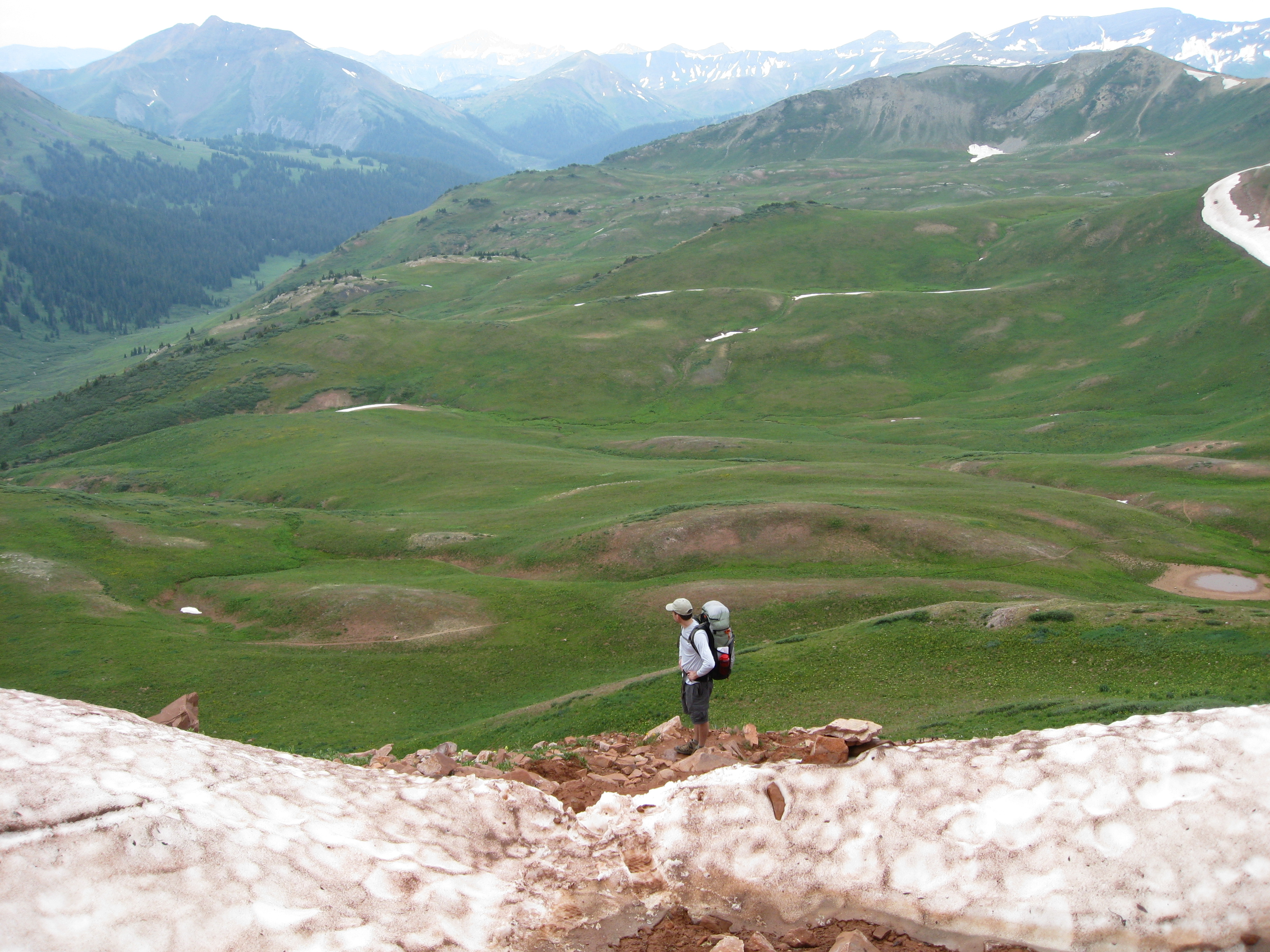
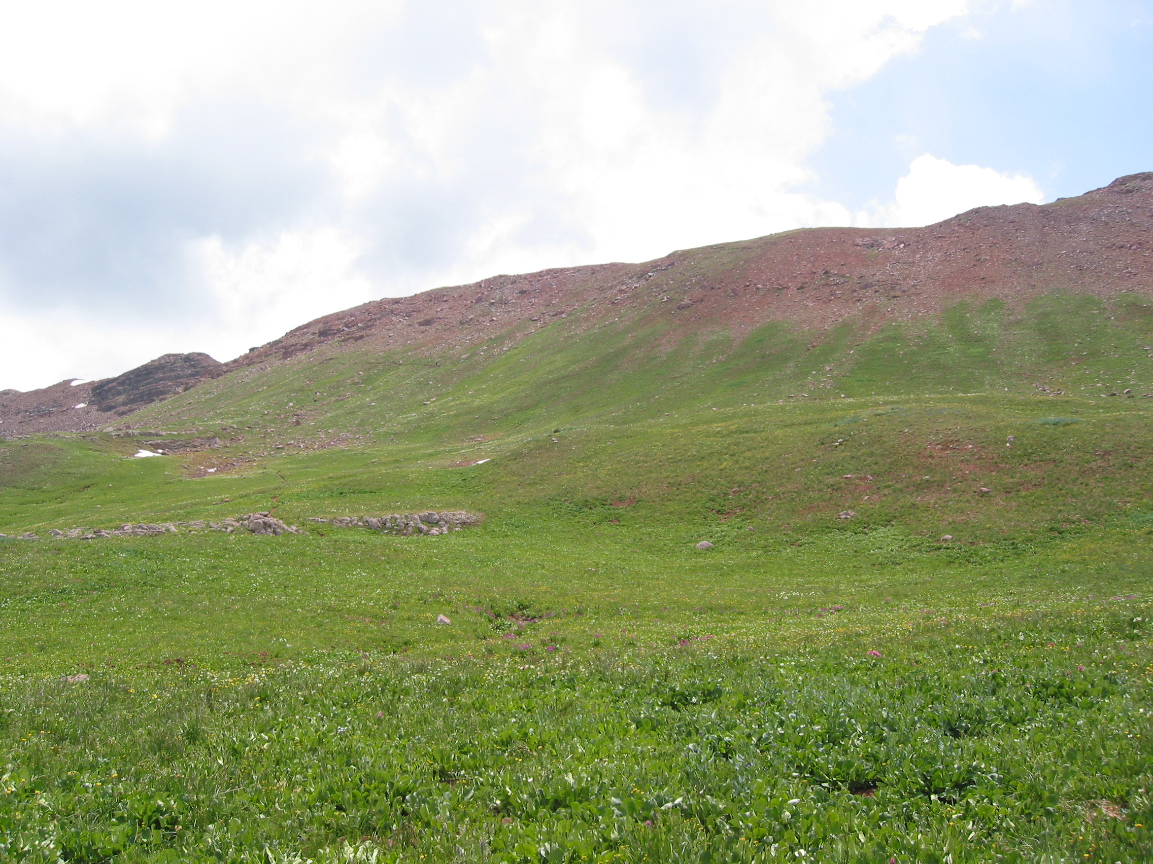
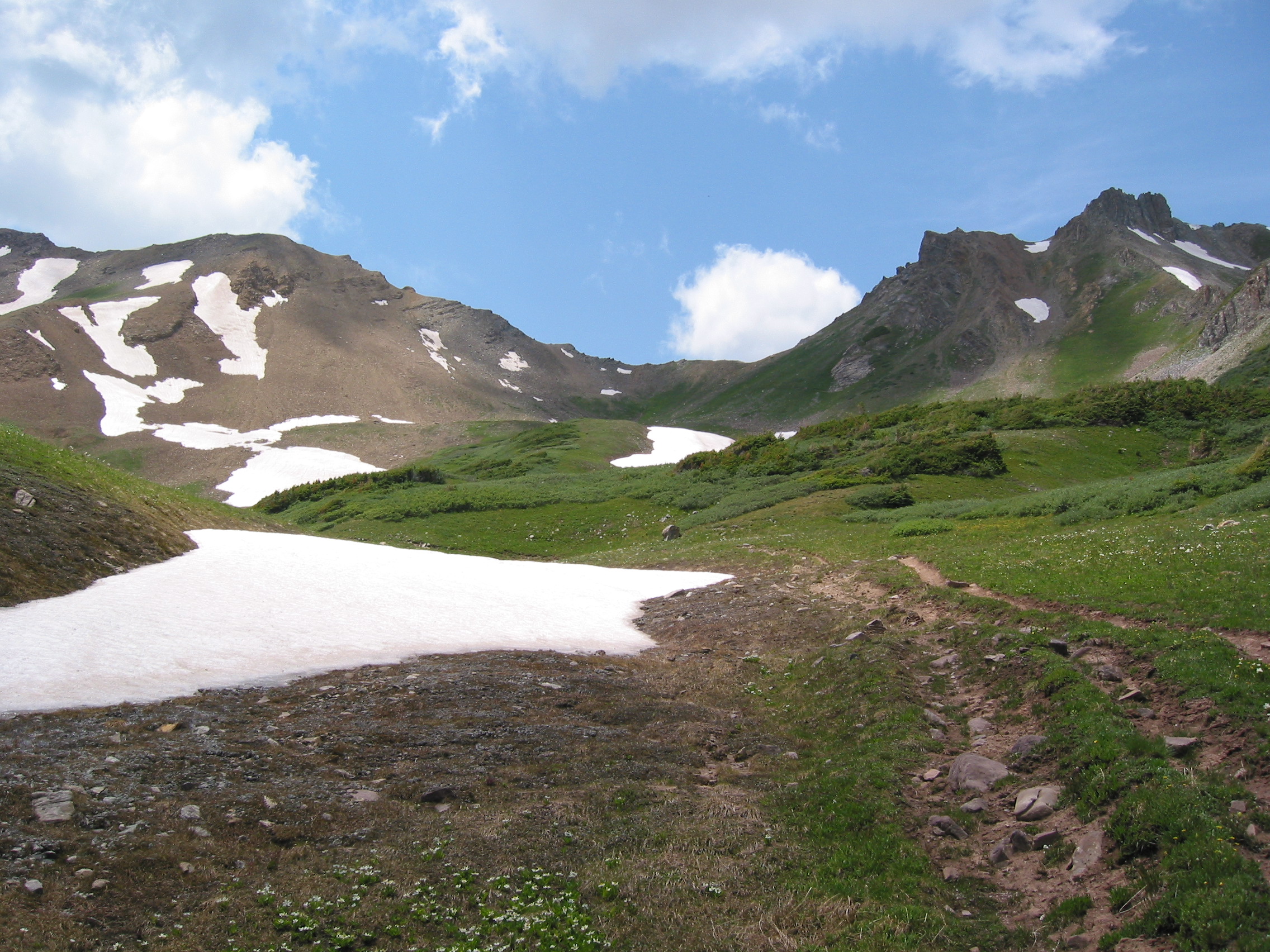
 Frevert Basin, where we will spend part of the morning
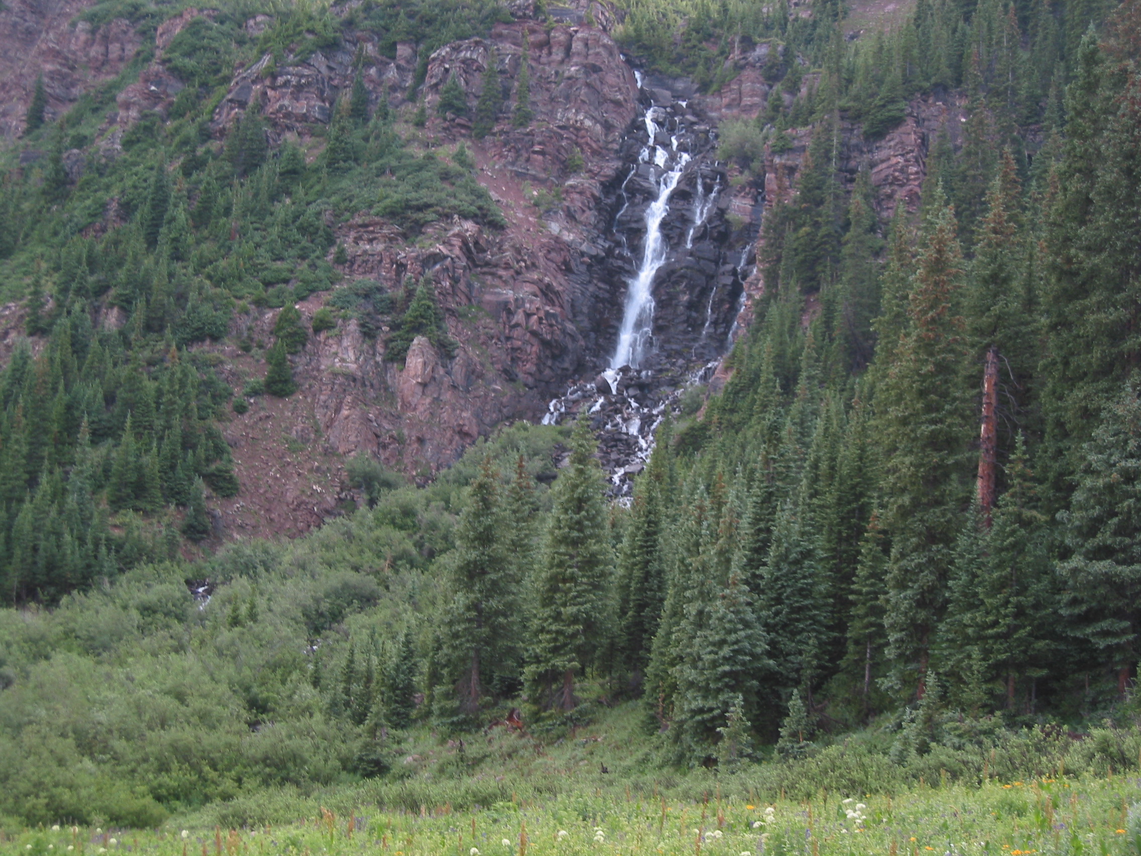
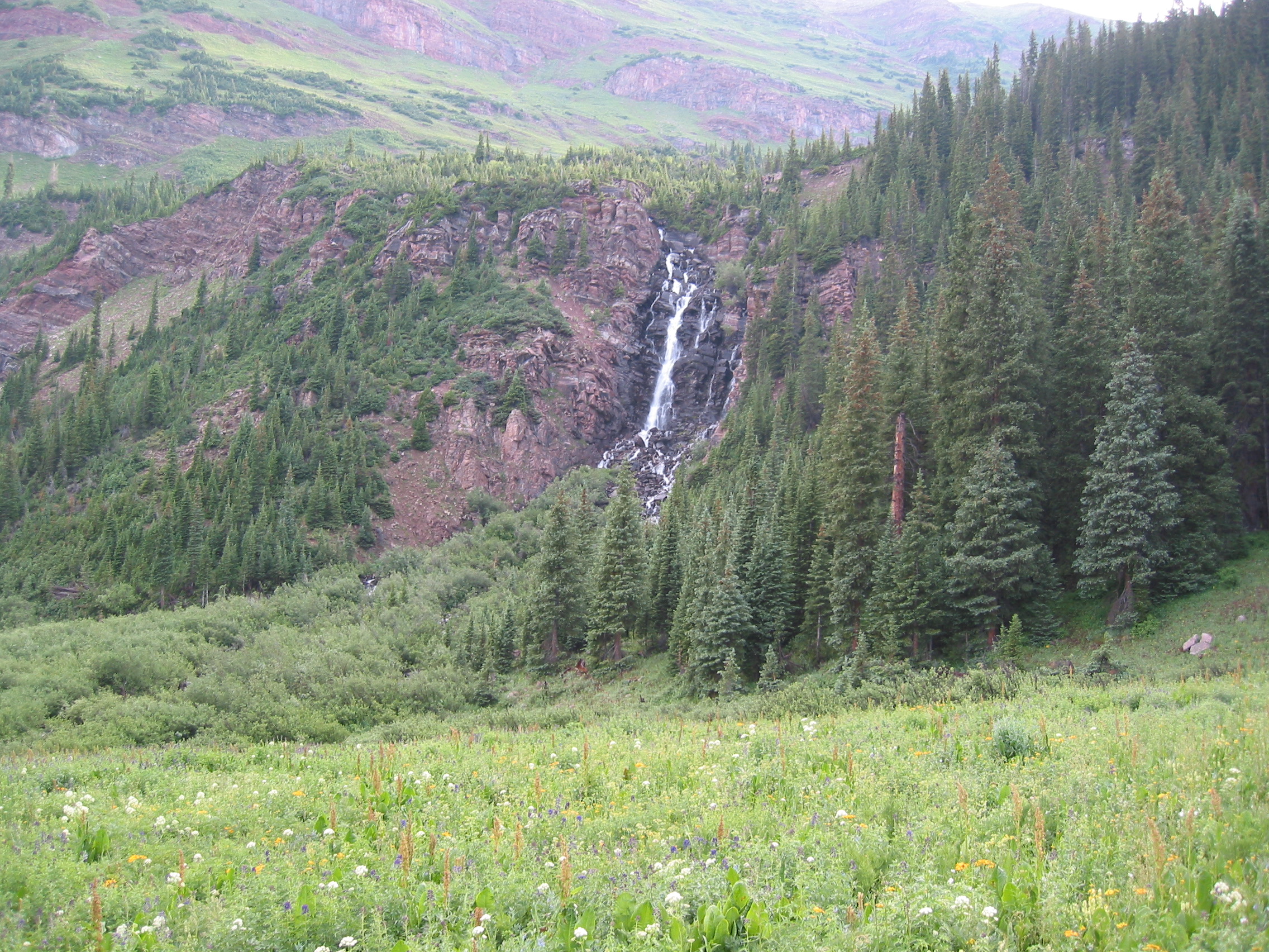
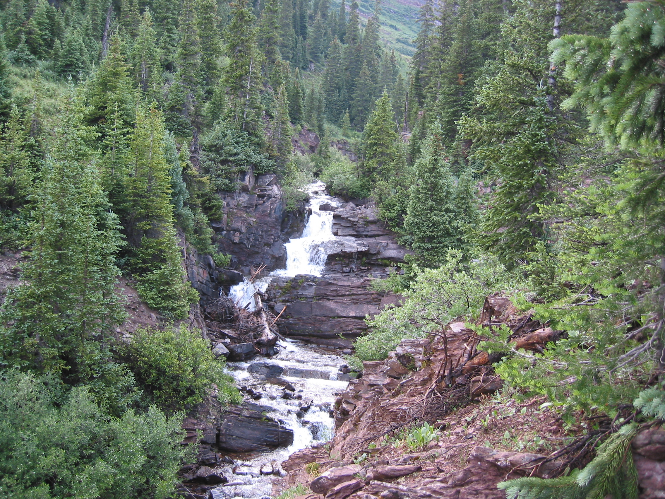
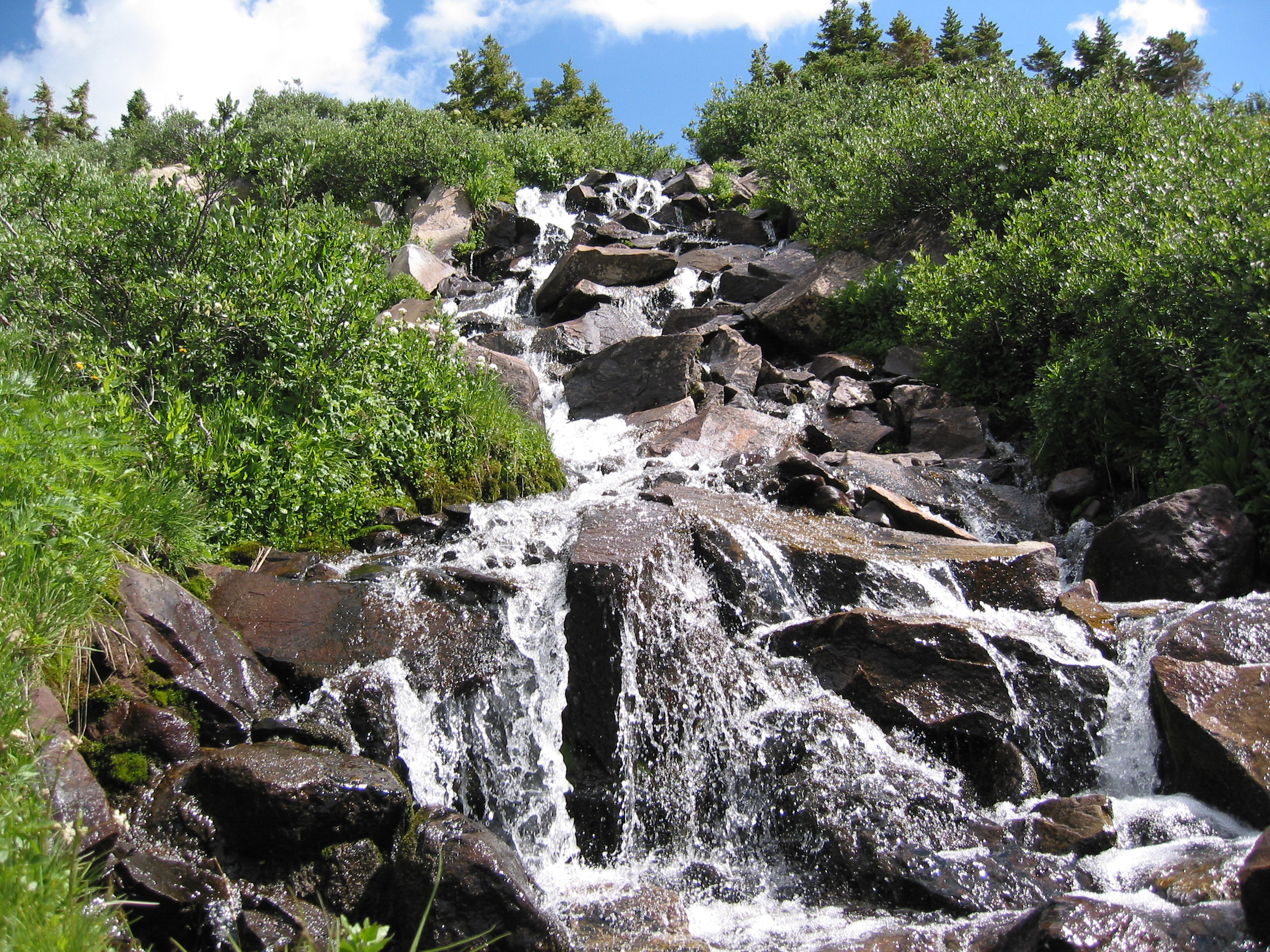
We walk through this dense forest area and then back over our right shoulder is this awesome waterfall
We knew that we needed to cross the creek, but came to a jumble of trail intersections and got waaaay off trail for a while and had to backtrack to find our creek crossing. Which we found near a horse camp. And there was a sign, but it was on the wrong side of the creek. The water was cold but the crossing was pretty quick.
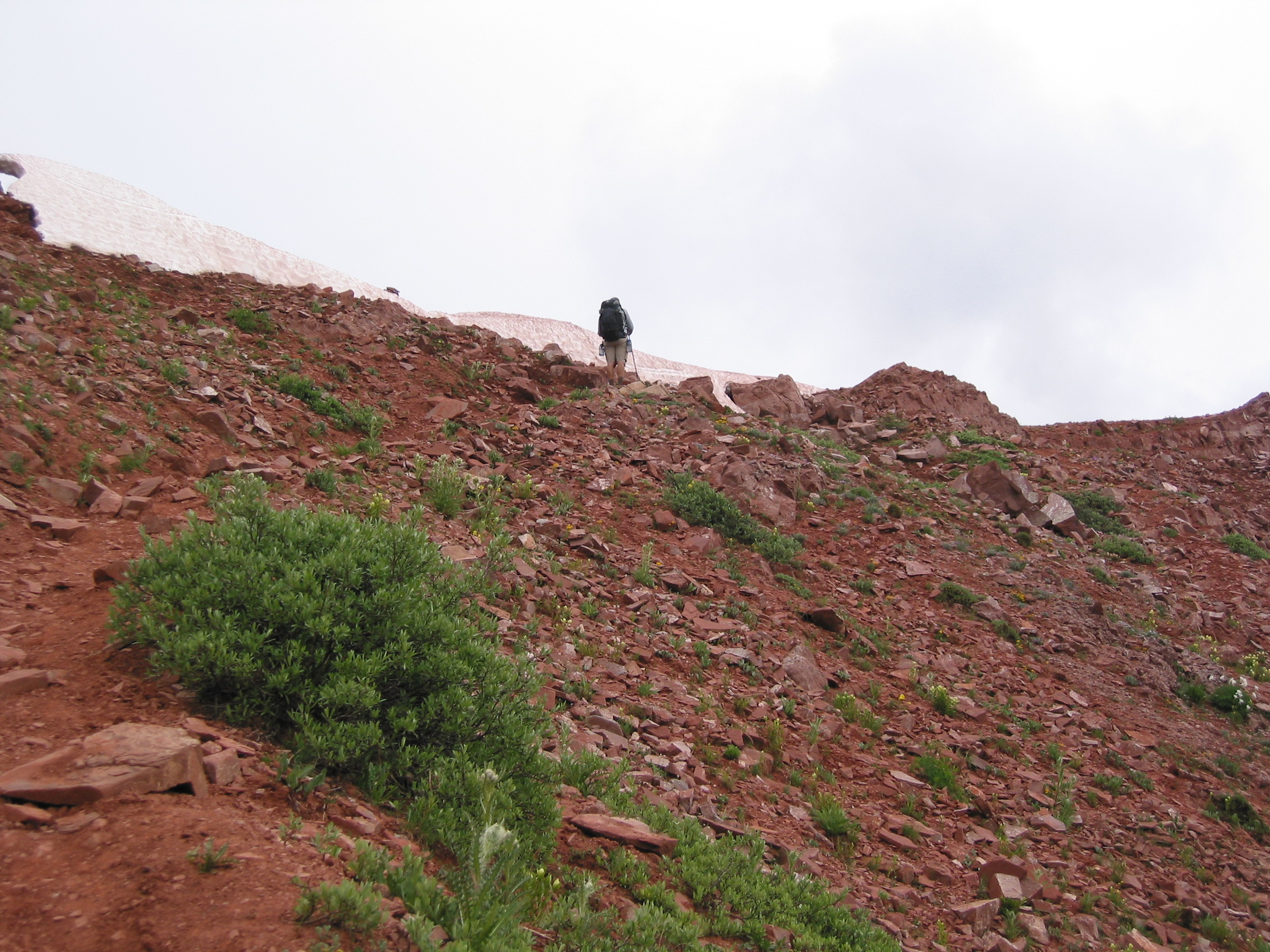
 things get very steep after this junction
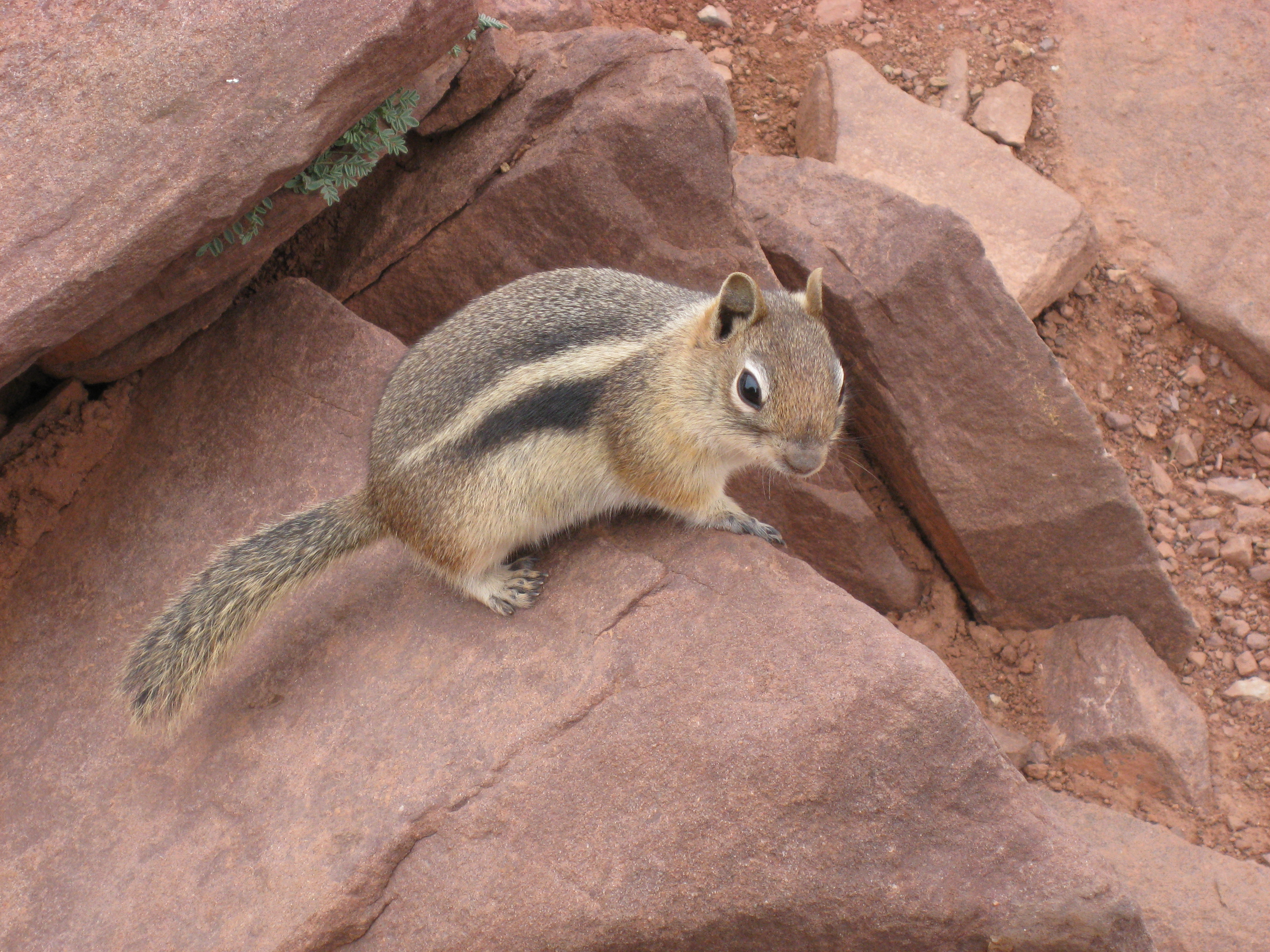
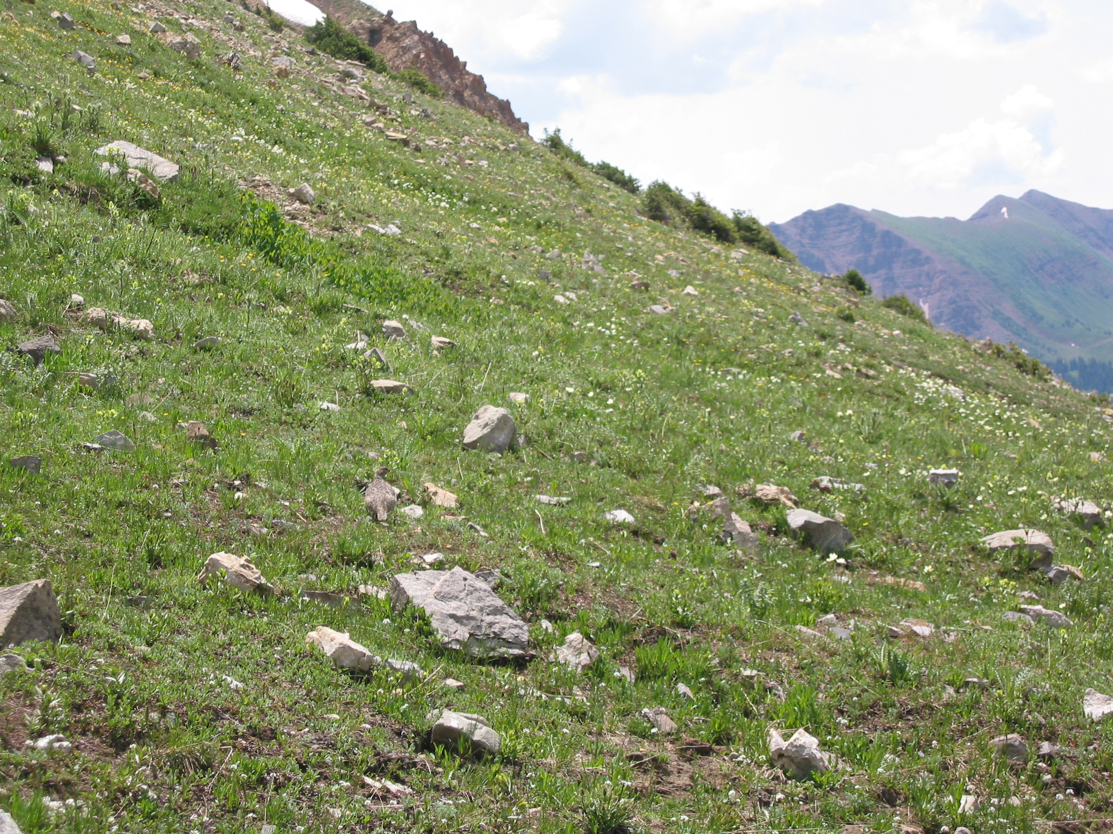
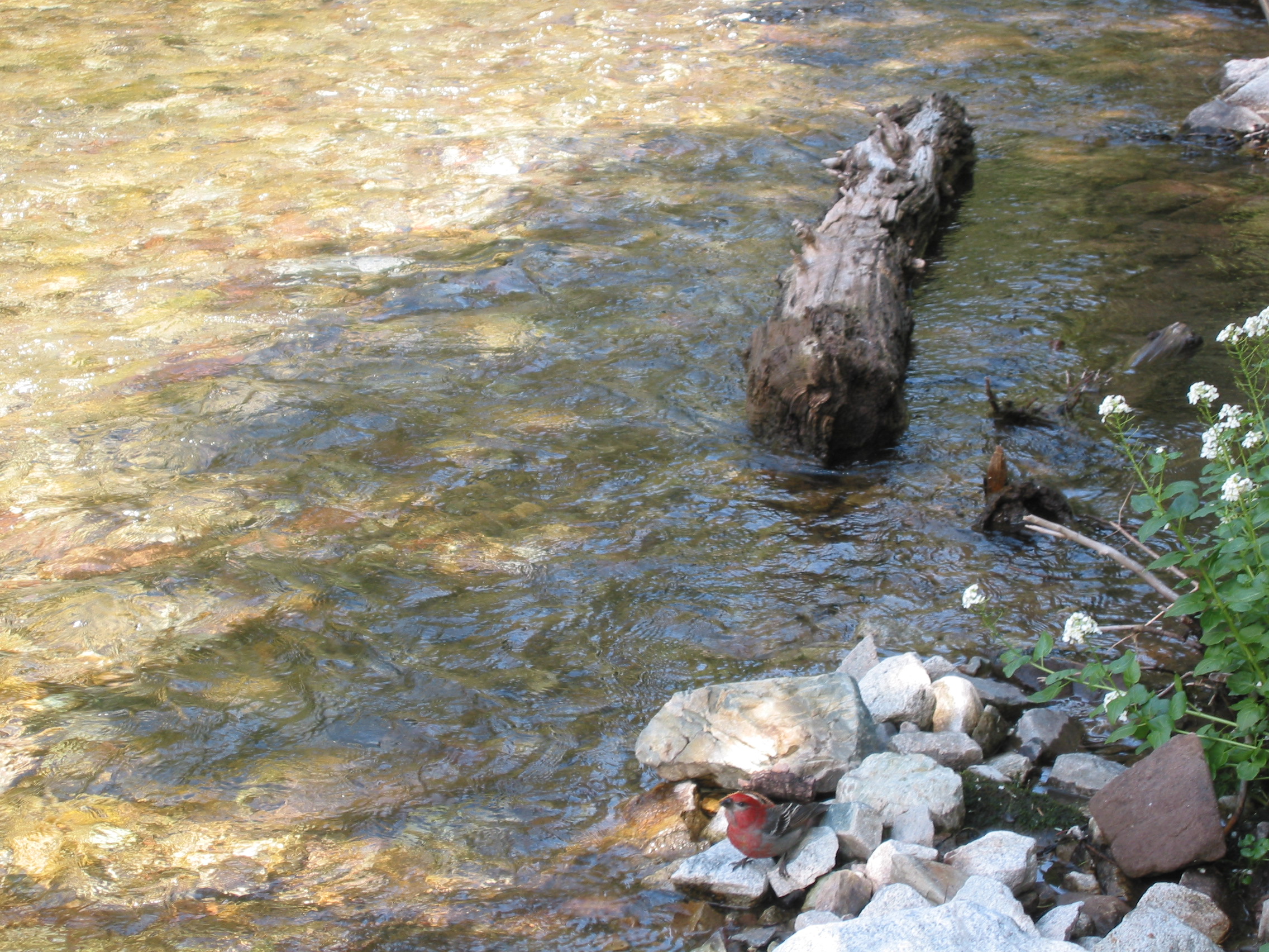
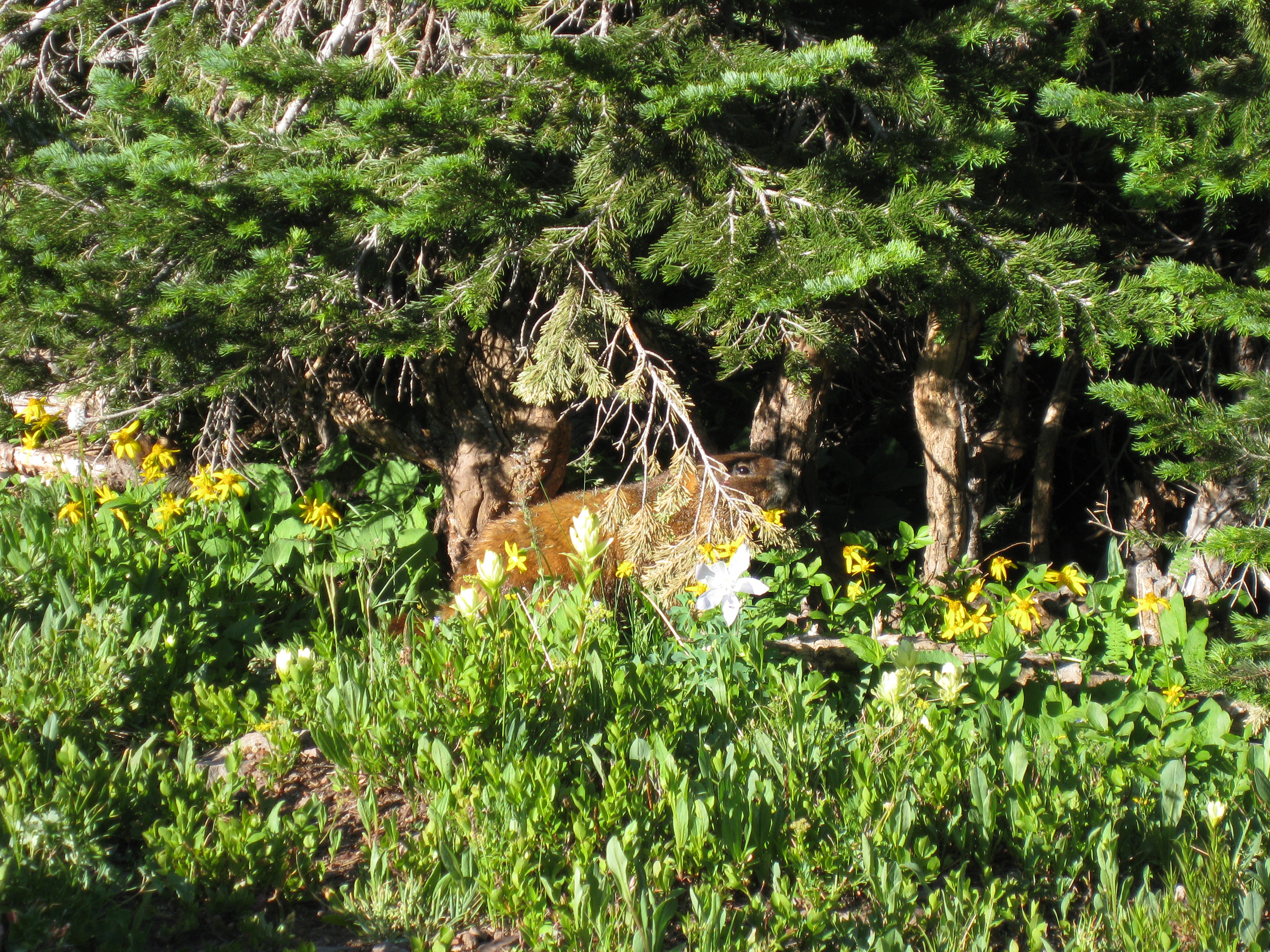
 a grouse I think
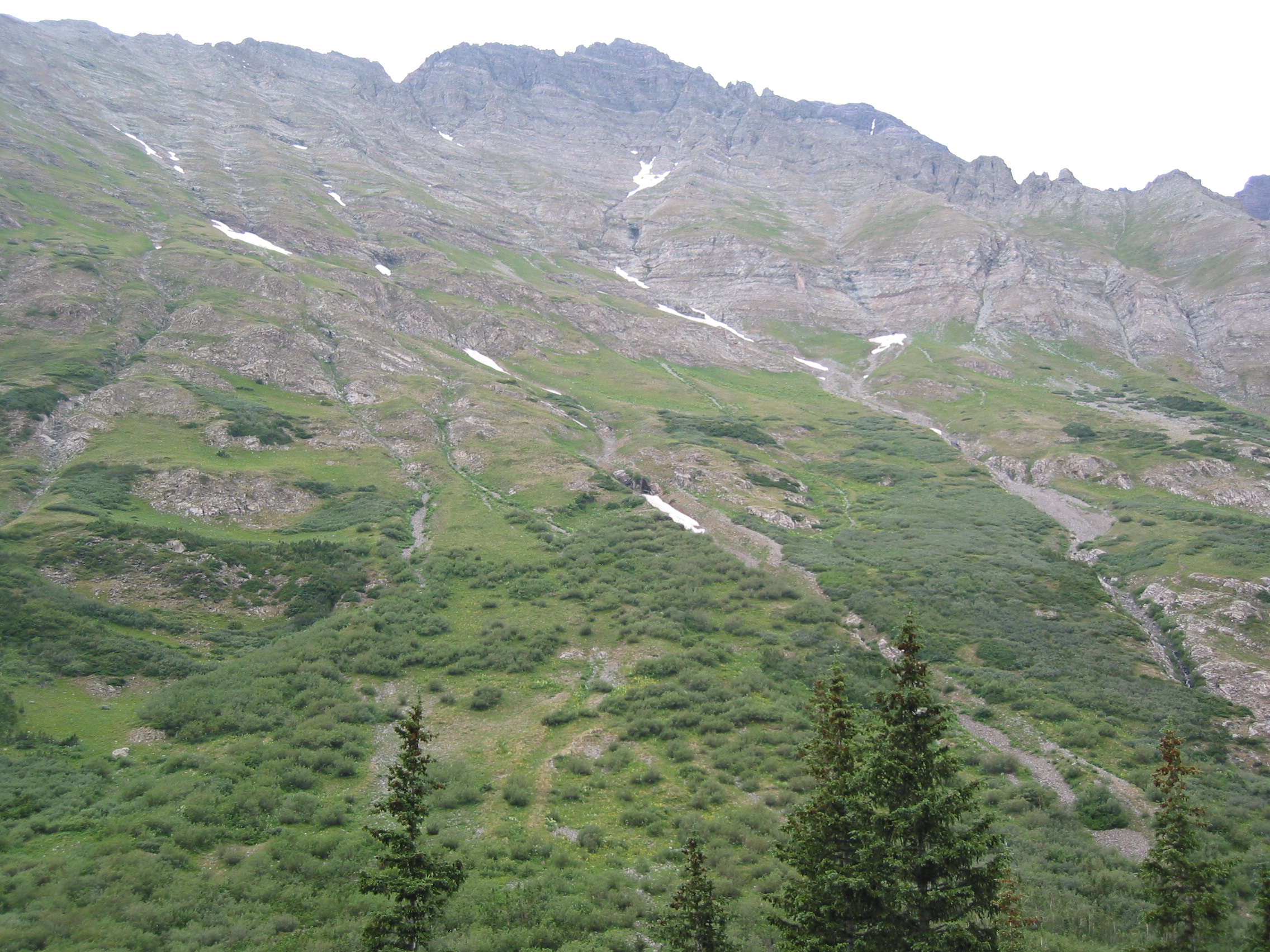
Our oxygen-starved brains studied this area farther down the basin for a long while before seeing traffic and realizing that the thing that looked like a very wide trail was actually a road.
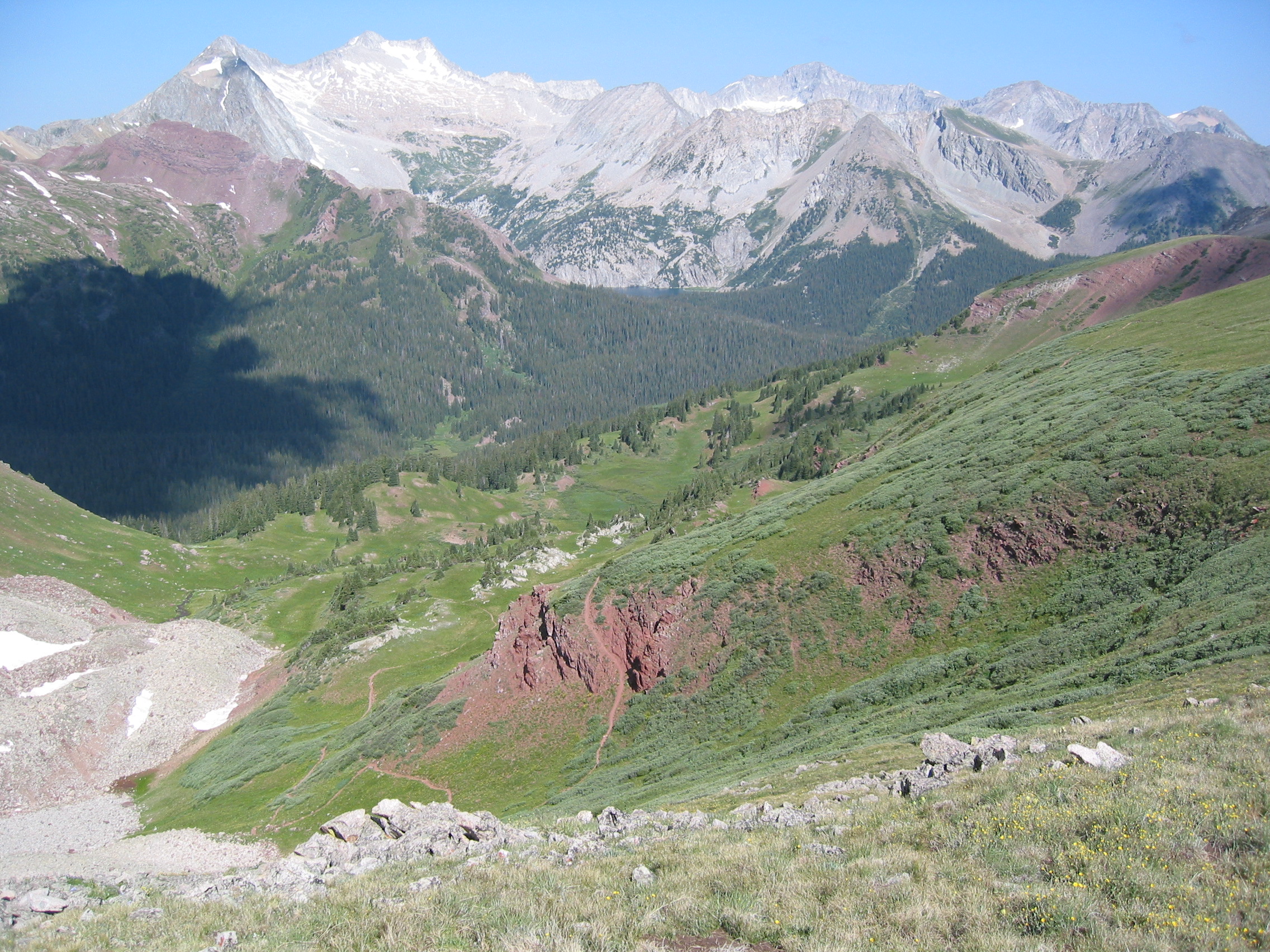
The next picture shows our upcoming route to Trail Rider Pass. We will walk down to the right, out of the photo, then around that small pond. But you can see the trail directly above the pond (it has a little snow on it) going directly through the shadow of the overhead cloud and continues to go right up that bare rock.
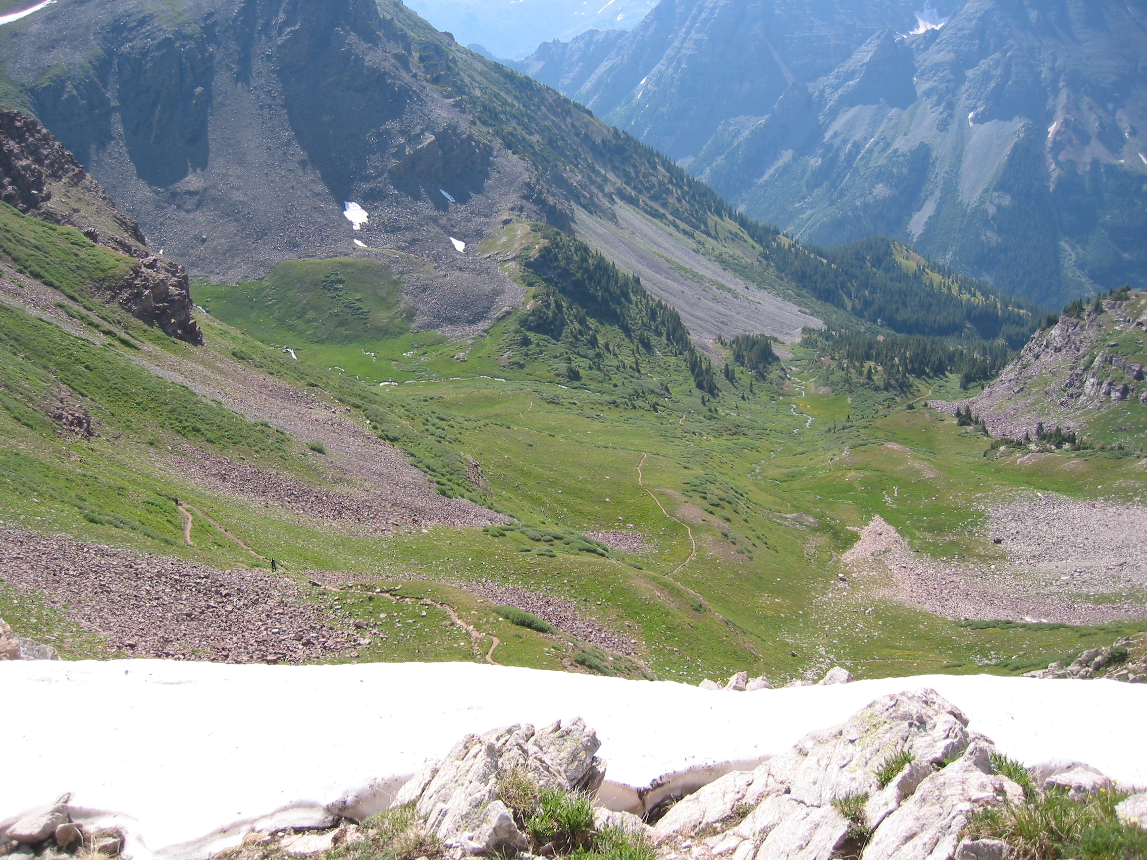
Below is the last part of the ascent. My lungs required me to take frequent picture taking breaks
 our trail up to the pass
 another bird
This was a tough ascent for me. But the views from the top were awesome. Anyway, Trail Rider Pass, 12,420 ft
 where we were a few minutes before
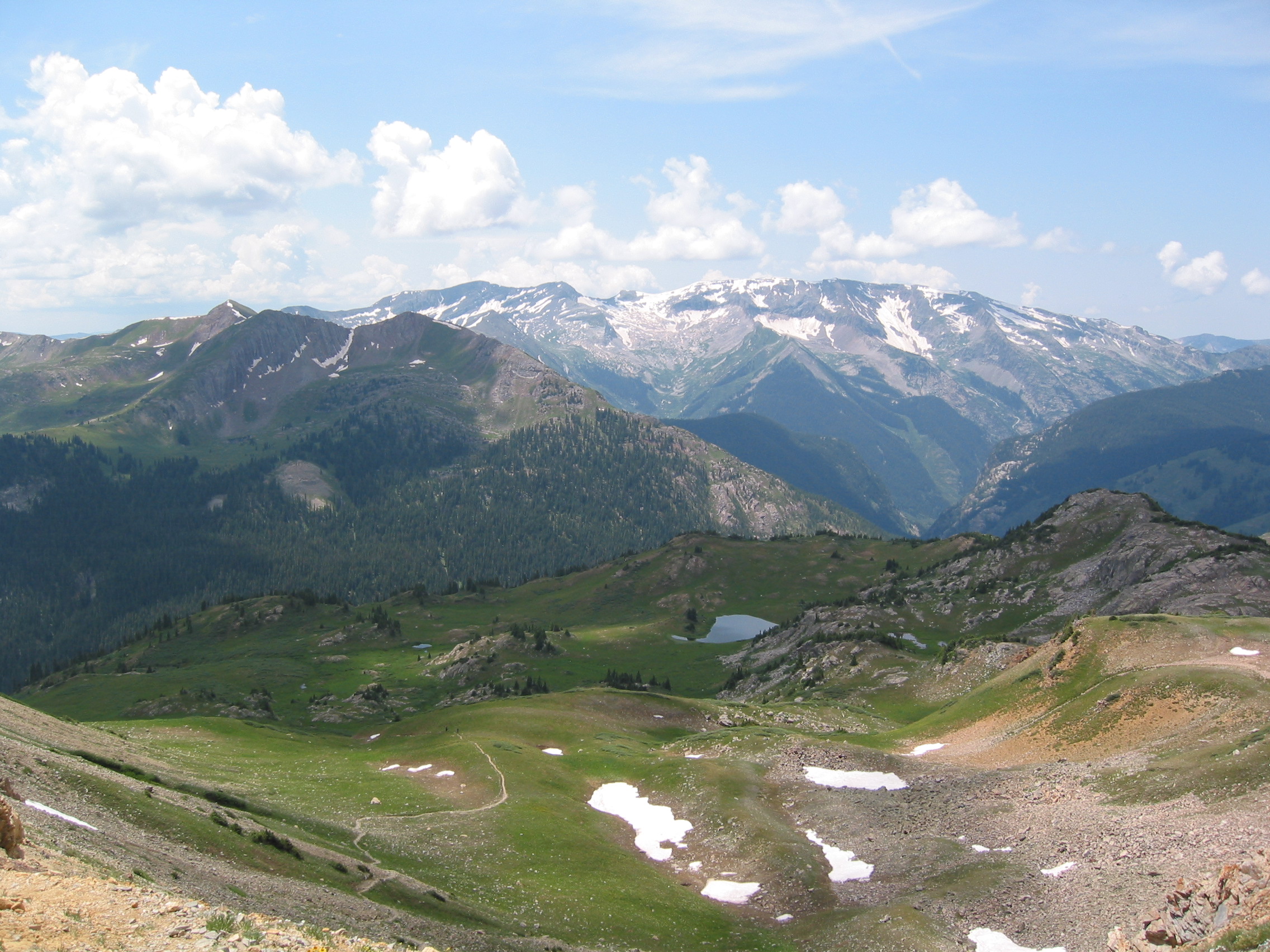
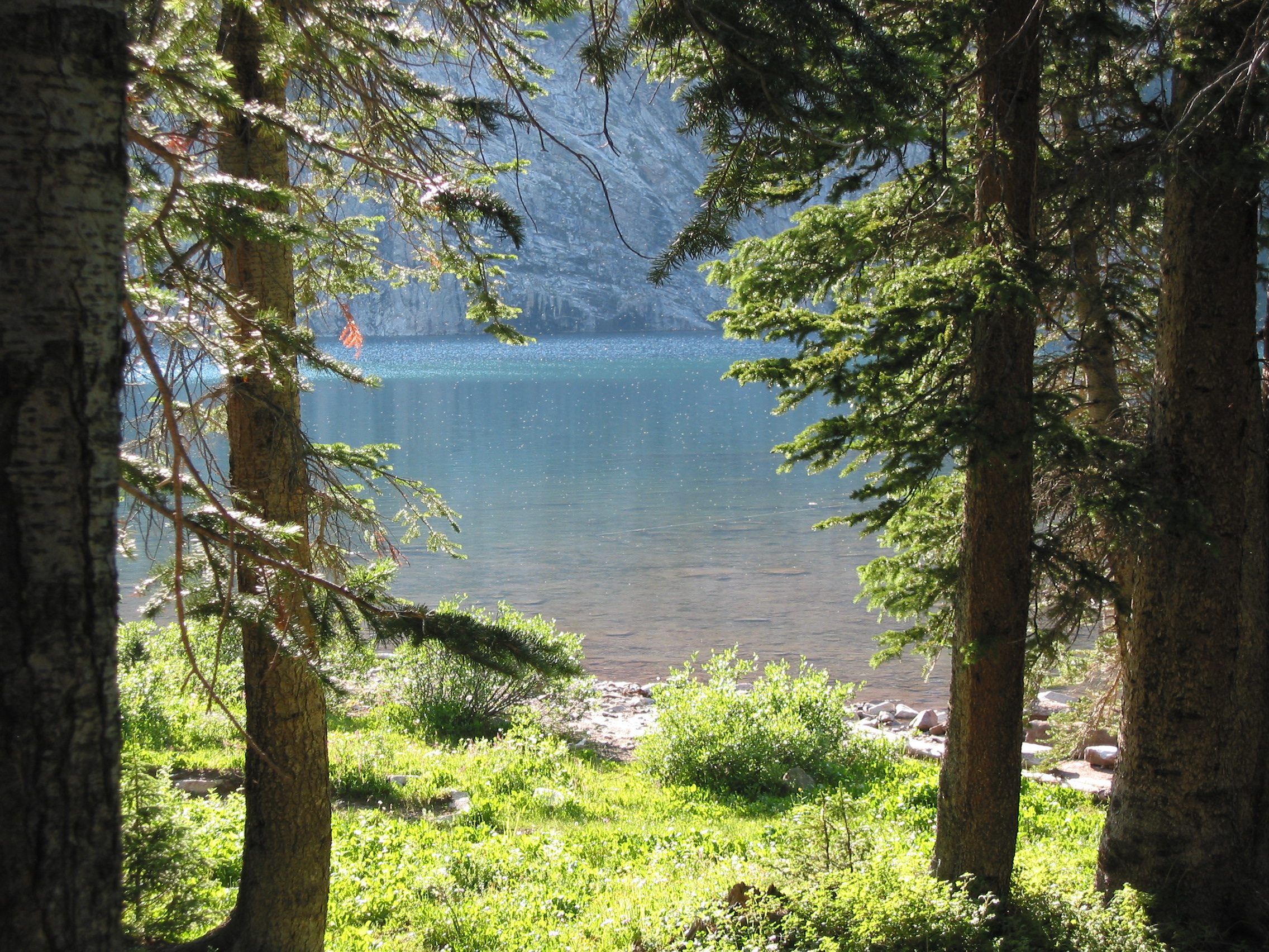
 Snowmass Lake, where we shall be shortly - Elevation = 10,980 ft
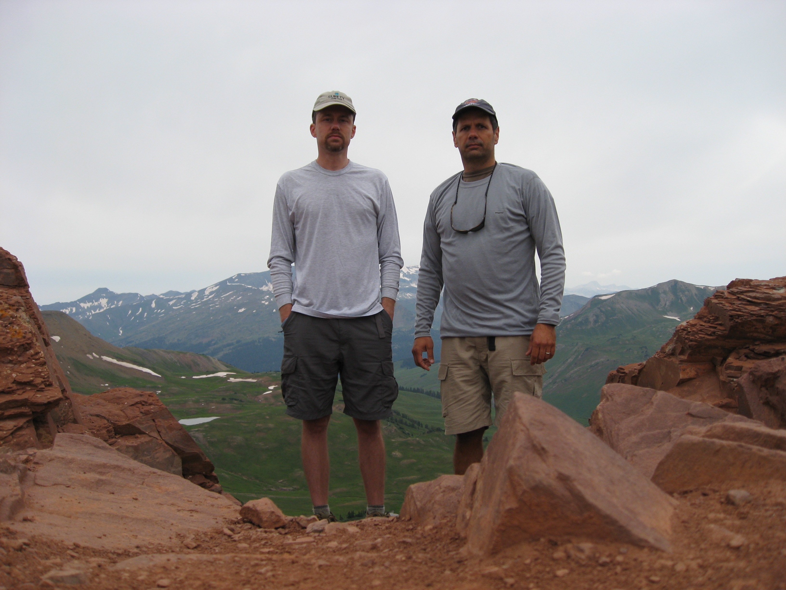
 obviously we had to pose in front of the natural wonder

 looking back at Trail Rider Pass, a very steep descent for us
There were a lot of marmots and pikas in this section, but I guess I was too slow to capture any with the camera.
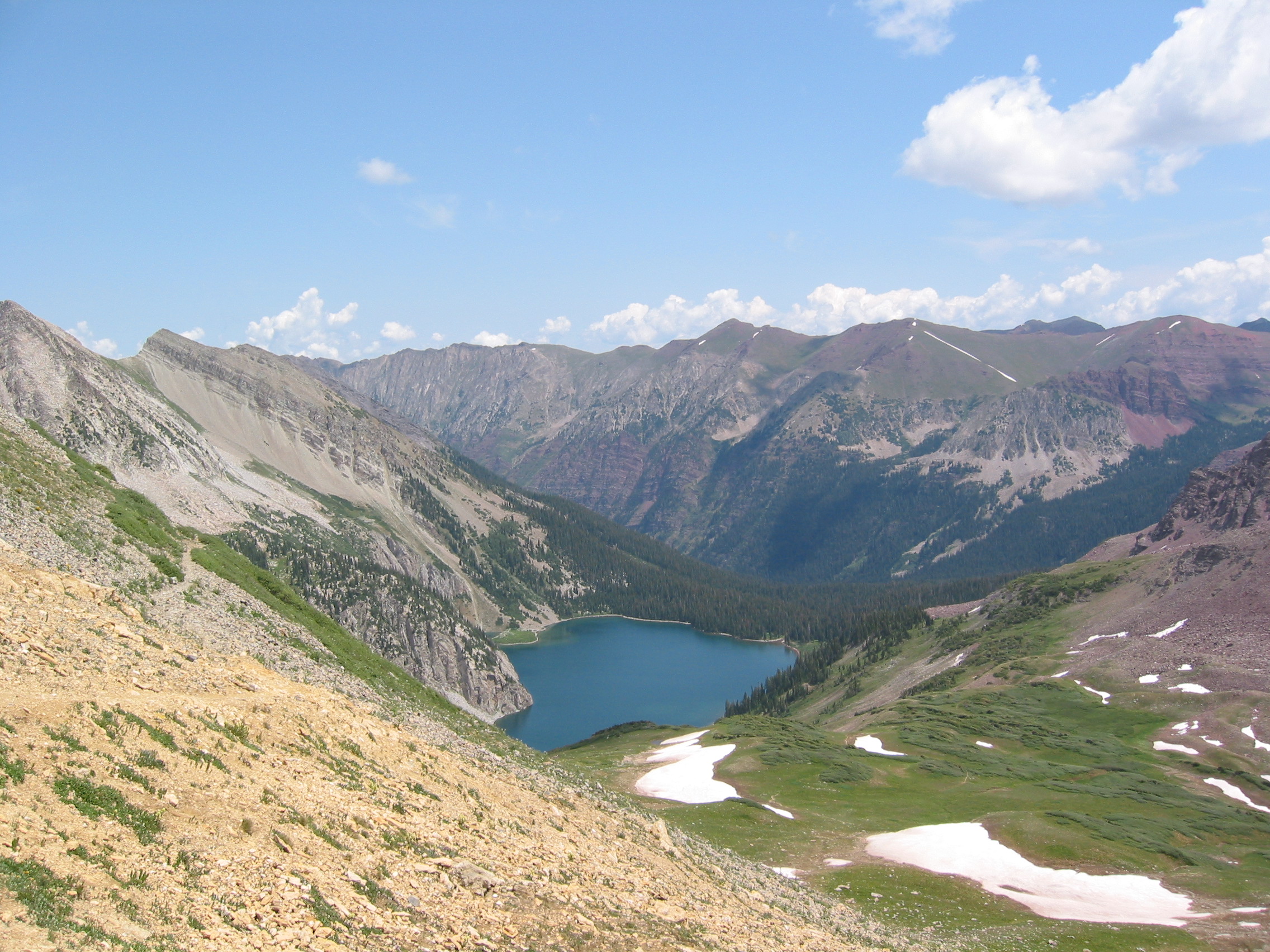
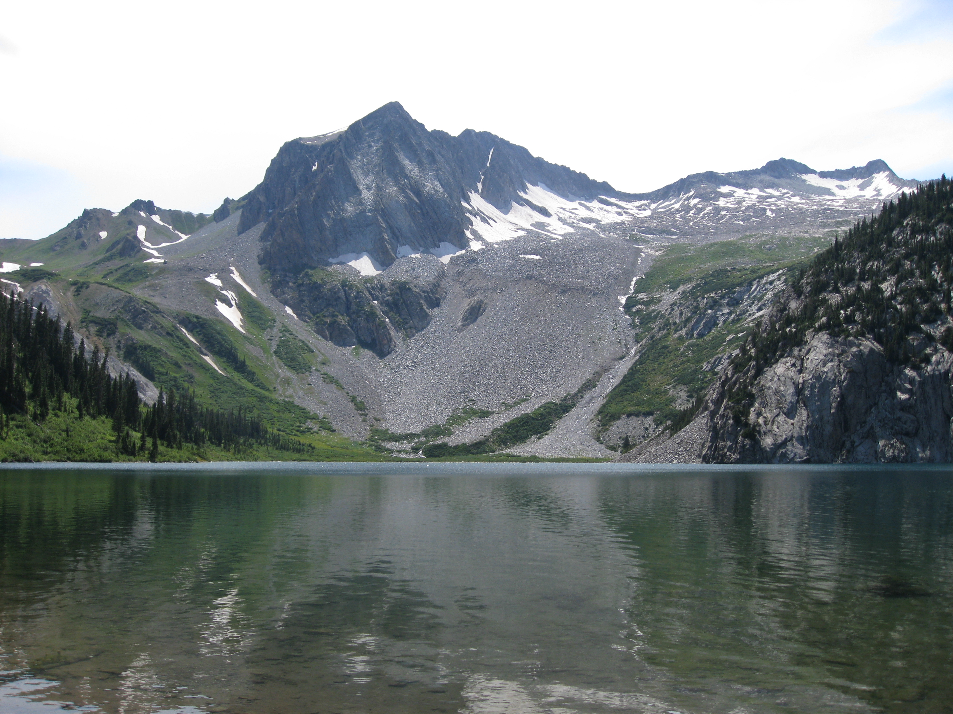
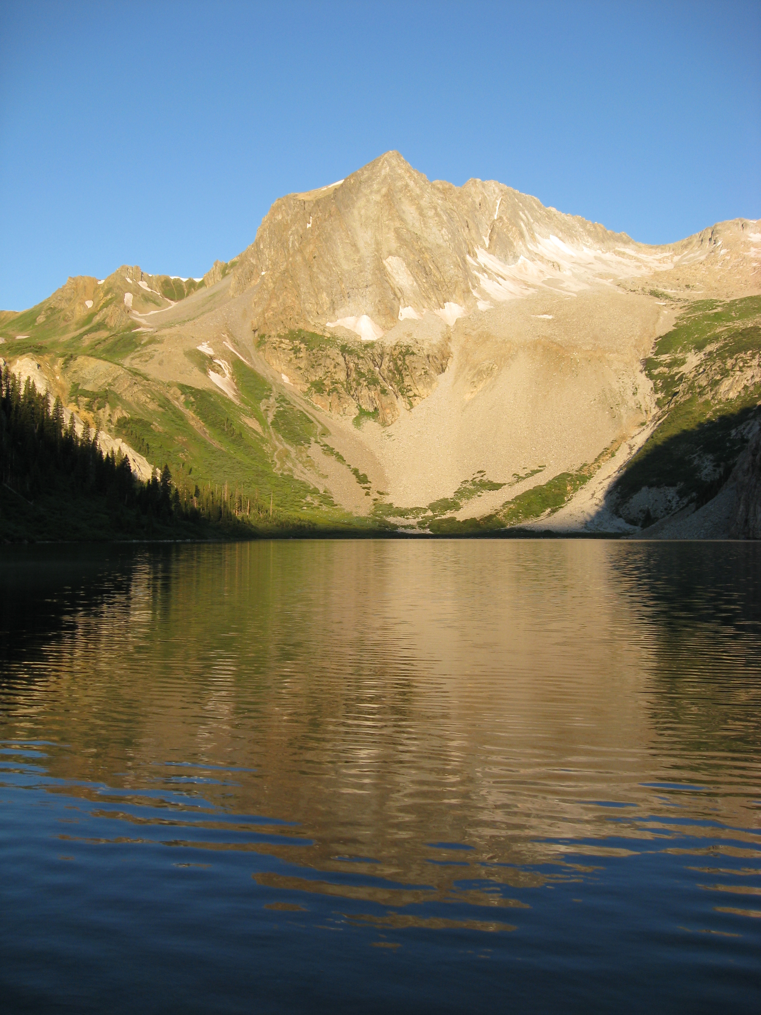
Then the classic view of Hagerman Peak across Snowmass Lake. What looks to be the tallest point in this photo is Hagerman Peak (13,841ft), but the only 14,000ft peak in this photo is Snowmass Mountain (14,092ft). Snowmass Mtn is one of the peaks on the right half of the photo. It is the one on the left of those two peaks.

There are many campsites here and they are very popular. It is a Saturday, they all fill up. But we got here pretty early and had a few sites to choose from. This was what we were hoping for because we needed a little sunlight and a breeze to dry some equipment from the day before. We met a guy that had climbed Snowmass earlier in the day and was doing a little fishing when we arrived. We could stand on the shore and see the healthy fish swimming around, but I saw no one catch anything. I think he said that Snowmass was the last of the 54 14,000 ft peaks in Colorado that he had not climbed. This is apparently a very big deal in Colorado. At around 3pm he was still conversing with us, though he had a 8+ mile hike to his car ahead of him.
 more wildlife
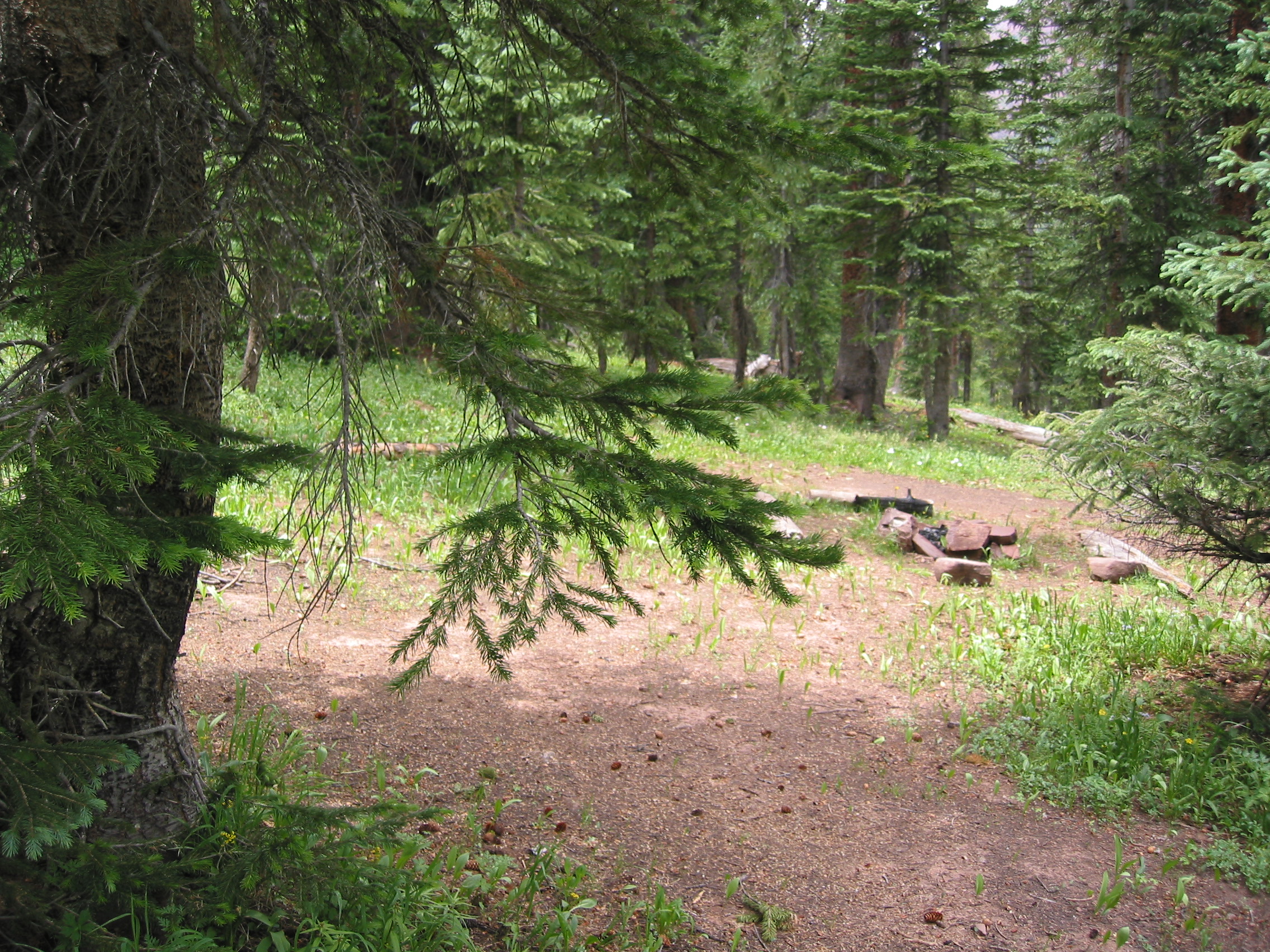
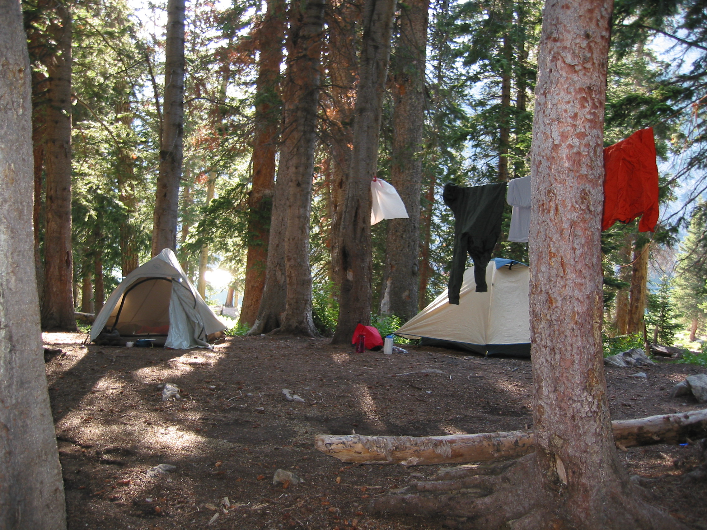 tonight's accommodations
There were some really nice campsites around the lake and no campfires were allowed. But it is a social event more than an evening of solitude. A group of guys took the sites next to us and between the three of them they had enough gear for a platoon. They had at least 3 stoves, and 2 pots that held over 4 quarts. Plus their food bags (plural) were the size of garbage bags. They cooked dinner for about 2 hours and were still eating after dark and sat the leftovers out overnight in their camp.
The next morning we would cross Snowmass Creek a couple of times and then head up to Buckskin Pass. We did not descend much from Snowmass Lake, so reaching Buckskin Pass was not terrible. But the last few hundred yards still got the lungs begging.
 sunrise at Snawmass Lake

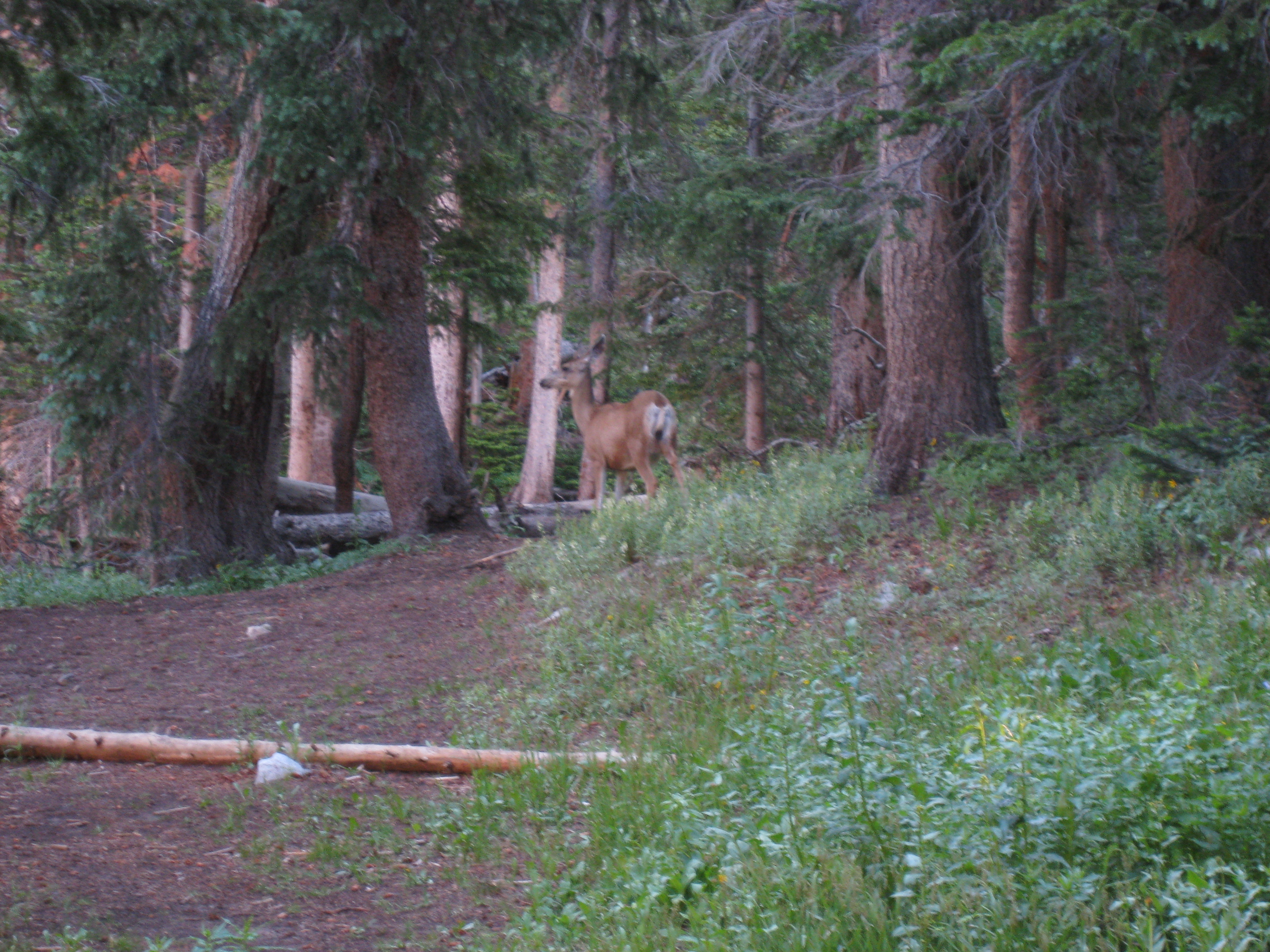 one frightened deer
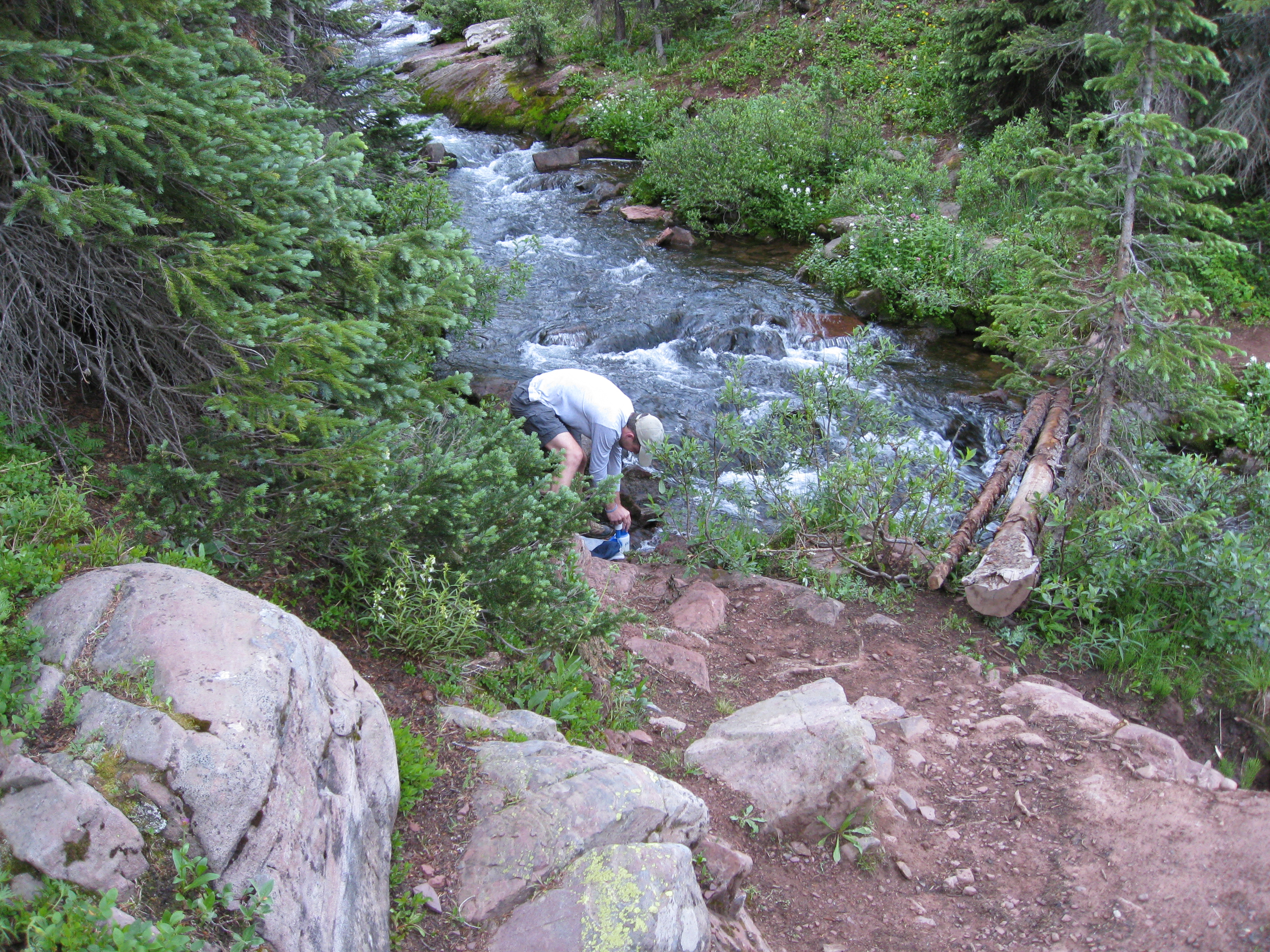 possibly the creek I almost fell in, notice the 'bridge.'
the last chance for water for a while though.
possibly the creek I almost fell in, notice the 'bridge.'
the last chance for water for a while though.
 even more wildlife
 Snowmass Mtn again (the one with the most snow on it, duh)
 Snowmass Mtn from Buckskin Pass, also Snowmass Lake is in there
too
Snowmass Mtn from Buckskin Pass, also Snowmass Lake is in there
too
On Buckskin Pass, 12,500ft. The photos below show the trail we just came up (left) and the one we will taste momentarily (right)
Next would be almost 3,000 ft of elevation loss to Crater Lake. At least we are going down, we passed a lot of people going the other way and this would be a tough ascent, probably the toughest of the four going counterclockwise. The first quarter mile of trail drops like mad.
 looking back at Buckskin Pass
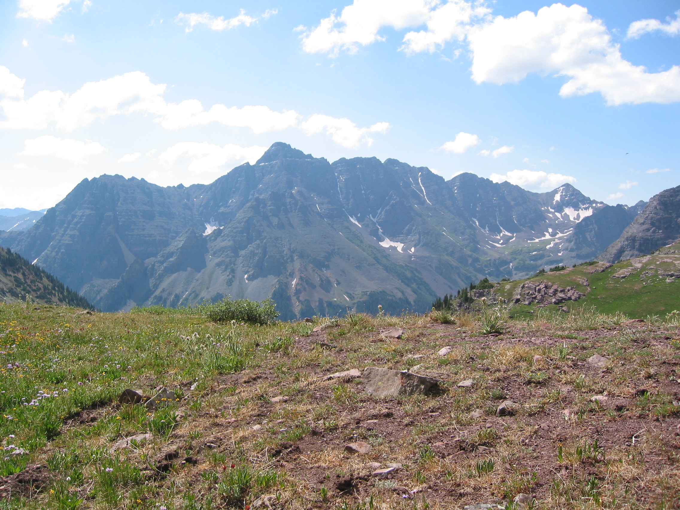
 Crater Lake with Pyramid Peak in the background I think
Lots of down from Buckskin Pass to the lakes and walked through some areas that were almost exclusively populated with aspens. Very nice hiking once you get into the trees.
 back at the parking lot
The parking area was a zoo when we got back. It was around noon on a gorgeous, yet warm Sunday, so there were dozens of people that got 0.3 hours of exercise annually out for their dose of the outdoors. There was even a little yappy dog chasing geese out of the lake. He seemed unfazed by the fact that the birds were much larger than he will ever be and obviously smarter than him also.
We left the backcountry, drank a somewhat cool beer that we had left in the rental car, stowed our gear, and went out for a drive. Well, after we cleaned up some glass that we dropped in the parking lot anyway. But is there anything better than a cool-ish beer after a backpacking trip? I'd like to know what it is...
Anyway, we headed west looking for something to eat that had never been dehydrated. We ate at another deli, which is what we had chosen on the trip into Snowmass also. Different place, but still hoagies, but again better than anything dehydrated. We stopped at a small hotel to enquire about a room and they got a look at me and decided they wanted none of that. The place was empty and they told me the only rooms they had were $275 or some such crap. So we called a ski lodge that I had a number for and went deeper into Snowmass Village. This place was hosting a national qualifying event for mountain bikers and most of them were as nasty as us. The manager at the desk thought we were with them and ask me how I'd done in the race. Of course I told her that I had kicked ass before even knowing what she was talking about. And once she knew what a great cyclist I was, combined with my manly scent, she immediately told me where the best/closest bar was. Surely hoping that I would invite her and the rest of the staff along to wow them with tales of shin guards and bicycle helmets. After permanently staining the shower with our filth we walked over to the tavern for some cold refreshments. They had some really good Tex-Mex, and we stayed there quite a while. I think the tab there was more than the room was costing us. And the bikers were coming in and getting drunk and loud. Some of those guys were true characters, but seemed to be cheap drunks. After making a dent in their beer inventory, we walked around the village and then retired to our room. No A/C meant sleeping with the window open and getting to hear all of the dumpsters being emptied around 4am, followed by the beeping of the garbage trucks backing away. Serene.
The next morning all we needed to do was visit downtown Denver and then get to the airport. And with hours to spare, we made it.
Great trip! Beautiful area!
And sometimes when I'm really nauseous and have a splitting headache, while walking among wildflowers, I remember the slurred words spoken by a mountain biker/poet in the cantina moments before falling from his bar stool - "I will never live east of Denver again." And I know what he meant.